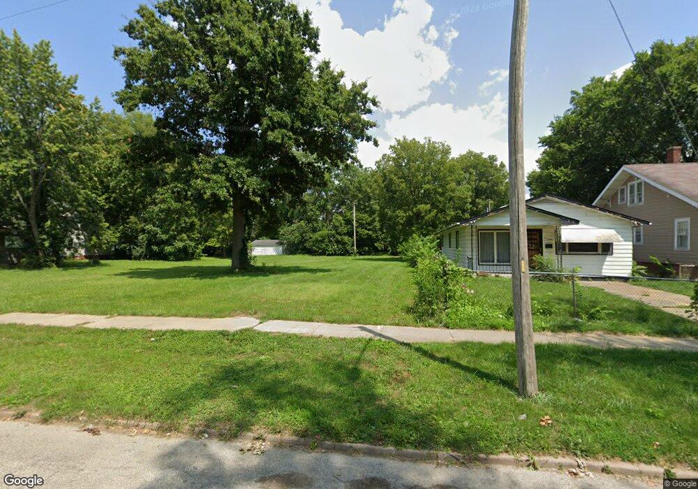
1042 N Union St Decatur, IL 62522
Estimated Value: $52,000
--
Bed
2
Baths
966
Sq Ft
$54/Sq Ft
Est. Value
About This Home
This home is located at 1042 N Union St, Decatur, IL 62522 and is currently priced at $52,000, approximately $53 per square foot. 1042 N Union St is a home located in Macon County with nearby schools including Hope Academy, St. Patrick School, and Teen Challenge-Home For Girls.
Ownership History
Date
Name
Owned For
Owner Type
Purchase Details
Closed on
Jul 26, 2023
Sold by
State Of Illinois
Bought by
County Of Macon
Current Estimated Value
Purchase Details
Closed on
Dec 6, 2022
Sold by
Bond Chardell
Bought by
Randle Bradford
Purchase Details
Closed on
Sep 20, 2018
Sold by
Clemons Curtis
Bought by
Bond Chardell
Purchase Details
Closed on
Aug 24, 2012
Sold by
Clemons Leo
Bought by
Clemons Curtis
Purchase Details
Closed on
Apr 8, 2011
Sold by
Clemons Curtis
Bought by
Clemons Loe
Purchase Details
Closed on
May 28, 2008
Sold by
Mathis Franklin
Bought by
Clemons Curtis
Purchase Details
Closed on
Dec 6, 2005
Sold by
Mathis Loree M and Sensenig Brenda M
Bought by
Mathis Franklin
Create a Home Valuation Report for This Property
The Home Valuation Report is an in-depth analysis detailing your home's value as well as a comparison with similar homes in the area
Home Values in the Area
Average Home Value in this Area
Purchase History
| Date | Buyer | Sale Price | Title Company |
|---|---|---|---|
| County Of Macon | -- | None Listed On Document | |
| Randle Bradford | -- | -- | |
| Bond Chardell | -- | None Available | |
| Clemons Curtis | -- | None Available | |
| Clemons Loe | -- | None Available | |
| Clemons Curtis | $10,000 | None Available | |
| Mathis Franklin | $300 | None Available |
Source: Public Records
Tax History Compared to Growth
Tax History
| Year | Tax Paid | Tax Assessment Tax Assessment Total Assessment is a certain percentage of the fair market value that is determined by local assessors to be the total taxable value of land and additions on the property. | Land | Improvement |
|---|---|---|---|---|
| 2024 | -- | $0 | $0 | $0 |
| 2023 | -- | $109 | $109 | $0 |
| 2022 | $40 | $394 | $394 | $0 |
| 2021 | $432 | $4,194 | $368 | $3,826 |
| 2020 | $425 | $3,999 | $350 | $3,649 |
| 2019 | $425 | $3,999 | $350 | $3,649 |
| 2018 | $451 | $4,293 | $225 | $4,068 |
| 2017 | $462 | $4,408 | $231 | $4,177 |
| 2016 | $471 | $4,453 | $233 | $4,220 |
| 2015 | $447 | $4,374 | $229 | $4,145 |
| 2014 | $418 | $4,331 | $227 | $4,104 |
| 2013 | $429 | $4,494 | $236 | $4,258 |
Source: Public Records
Map
Nearby Homes
- 1245 N Union St
- 141 E Packard St
- 844 N Edward St
- 415 W Green St
- 1458 N Union St
- 875 N Monroe St
- 1558 N Main St
- 1568 N Main St
- 1504 N Monroe St
- 1545 N Monroe St
- 837 W Grand Ave
- 644 W Division St
- 330 W William St
- 240 E Olive St
- 422 W William St
- 1653 N Maple Ave
- 233 N Edward St
- 366 W Prairie Ave
- 442 W Prairie Ave
- 452 W Prairie Ave
- 1030 N Union St
- 1054 N Union St
- 1020 N Union St
- 1058 N Union St
- 1012 N Union St
- 251 W Packard St
- 1068 N Union St
- 231 W Packard St
- 1004 N Union St
- 1039 N Church St
- 1053 N Church St
- 1035 N Church St
- 1019 N Union St
- 305 W Packard St
- 1029 N Church St
- 1007 N Union St
- 1043 N Union St
- 325 W Packard St
- 1055 N Union St
- 1063 N Church St