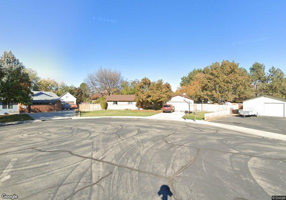
10443 Harvester Ct Boise, ID 83709
Southwest Boise NeighborhoodEstimated Value: $507,000 - $571,000
3
Beds
2
Baths
1,668
Sq Ft
$322/Sq Ft
Est. Value
About This Home
This home is located at 10443 Harvester Ct, Boise, ID 83709 and is currently estimated at $536,822, approximately $321 per square foot. 10443 Harvester Ct is a home located in Ada County with nearby schools including Maple Grove Elementary School, West Junior High School, and Borah Senior High School.
Ownership History
Date
Name
Owned For
Owner Type
Purchase Details
Closed on
Mar 24, 2020
Sold by
Powell David B and Powell Teresa M
Bought by
Powell David and Powell Teresa
Current Estimated Value
Home Financials for this Owner
Home Financials are based on the most recent Mortgage that was taken out on this home.
Original Mortgage
$91,700
Interest Rate
3.4%
Mortgage Type
New Conventional
Create a Home Valuation Report for This Property
The Home Valuation Report is an in-depth analysis detailing your home's value as well as a comparison with similar homes in the area
Home Values in the Area
Average Home Value in this Area
Purchase History
| Date | Buyer | Sale Price | Title Company |
|---|---|---|---|
| Powell David | -- | Pioneer Title Co Of Ada Cnty |
Source: Public Records
Mortgage History
| Date | Status | Borrower | Loan Amount |
|---|---|---|---|
| Closed | Powell David | $91,700 |
Source: Public Records
Tax History Compared to Growth
Tax History
| Year | Tax Paid | Tax Assessment Tax Assessment Total Assessment is a certain percentage of the fair market value that is determined by local assessors to be the total taxable value of land and additions on the property. | Land | Improvement |
|---|---|---|---|---|
| 2025 | $3,077 | $487,700 | -- | -- |
| 2024 | $3,061 | $464,100 | -- | -- |
| 2023 | $3,061 | $445,500 | $0 | $0 |
| 2022 | $3,615 | $541,900 | $0 | $0 |
| 2021 | $3,253 | $422,600 | $0 | $0 |
| 2020 | $2,694 | $326,900 | $0 | $0 |
| 2019 | $2,968 | $318,700 | $0 | $0 |
| 2018 | $2,618 | $272,400 | $0 | $0 |
| 2017 | $2,378 | $248,800 | $0 | $0 |
| 2016 | $2,172 | $227,400 | $0 | $0 |
| 2015 | $1,812 | $214,200 | $0 | $0 |
| 2012 | -- | $146,400 | $0 | $0 |
Source: Public Records
Map
Nearby Homes
- 2033 S Stonyfield Place
- 10471 W Bantam St
- 10334 W Bantam St
- 10685 W Hollandale Dr
- 10776 W Smoke Ranch Dr
- 10875 W Hollandale Dr
- 2029 S Wilde Creek Way
- 1877 S Rustic Mill Place
- 9999 W Hollandale Dr
- 2484 S Culpeper Ave
- 9631 W Ottawa Ct
- 10512 W Martingale Dr
- 971 S Wavetrain Ave
- 960 S Nautilus Ave
- 941 S Wavetrain Ave
- 937 S Nautilus Ave
- 10324 W Antietam St
- 11505 W Baserri Dr
- 11225 W Camas St
- 9916 W Geronimo St
- 10417 Harvester Ct
- 10423 W Southerland Dr
- 10464 Harvester Ct
- 10449 W Southerland Dr
- 10464 W Harvester Ct
- 10357 Harvester Dr
- 10475 W Southerland Dr
- 1866 Regent Ave
- 1888 Regent Ave
- 10391 Harvester Ct
- 1866 S Regent Ave
- 10365 Harvester Ct
- 1844 S Regent Ave
- 1844 Regent Ave
- 1906 Regent Ave
- 10358 Harvester Ct
- 10339 Harvester Dr
- 1822 S Regent Ave
- 1822 Regent Ave
- 10358 Harvester Dr