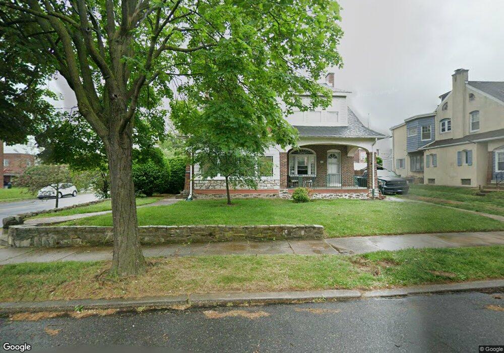
1046 Granite St Philadelphia, PA 19124
Frankford NeighborhoodEstimated Value: $315,524 - $370,000
4
Beds
2
Baths
2,350
Sq Ft
$142/Sq Ft
Est. Value
About This Home
This home is located at 1046 Granite St, Philadelphia, PA 19124 and is currently estimated at $333,881, approximately $142 per square foot. 1046 Granite St is a home located in Philadelphia County with nearby schools including Frankford High School, The Philadelphia Charter School for the Arts & Sciences, and Northwood Academy Charter School.
Ownership History
Date
Name
Owned For
Owner Type
Purchase Details
Closed on
Jan 6, 2012
Sold by
Mccarins Joan M
Bought by
Kibert Matthew A
Current Estimated Value
Home Financials for this Owner
Home Financials are based on the most recent Mortgage that was taken out on this home.
Original Mortgage
$146,197
Outstanding Balance
$95,639
Interest Rate
3.12%
Mortgage Type
FHA
Estimated Equity
$238,242
Create a Home Valuation Report for This Property
The Home Valuation Report is an in-depth analysis detailing your home's value as well as a comparison with similar homes in the area
Home Values in the Area
Average Home Value in this Area
Purchase History
| Date | Buyer | Sale Price | Title Company |
|---|---|---|---|
| Kibert Matthew A | $150,000 | None Available |
Source: Public Records
Mortgage History
| Date | Status | Borrower | Loan Amount |
|---|---|---|---|
| Open | Kibert Matthew A | $146,197 |
Source: Public Records
Tax History Compared to Growth
Tax History
| Year | Tax Paid | Tax Assessment Tax Assessment Total Assessment is a certain percentage of the fair market value that is determined by local assessors to be the total taxable value of land and additions on the property. | Land | Improvement |
|---|---|---|---|---|
| 2026 | $3,232 | $277,700 | $55,540 | $222,160 |
| 2025 | $3,232 | $277,700 | $55,540 | $222,160 |
| 2024 | $3,232 | $277,700 | $55,540 | $222,160 |
| 2023 | $3,232 | $230,900 | $46,180 | $184,720 |
| 2022 | $2,508 | $230,900 | $46,180 | $184,720 |
| 2021 | $2,508 | $0 | $0 | $0 |
| 2020 | $2,508 | $0 | $0 | $0 |
| 2019 | $2,406 | $0 | $0 | $0 |
| 2018 | $2,413 | $0 | $0 | $0 |
| 2017 | $2,413 | $0 | $0 | $0 |
| 2016 | $2,413 | $0 | $0 | $0 |
| 2015 | $2,310 | $0 | $0 | $0 |
| 2014 | -- | $172,400 | $58,587 | $113,813 |
| 2012 | -- | $22,752 | $4,112 | $18,640 |
Source: Public Records
Map
Nearby Homes
- 1048 Bridge St
- 1137 Bridge St
- 1204 Pratt St
- 5659 Miriam Rd
- 5661 Miriam Rd
- 1218 Pratt St
- 5640 Miriam Rd
- 1220 Pratt St
- 5505 Loretto Ave
- 5347 Sylvester St
- 5118 Oakland St
- 1208 Haworth St
- 991 Carver St
- 996 Anchor St
- 1244 E Sanger St
- 1052 Allengrove St
- 1214 Haworth St
- 4046 E Roosevelt Blvd
- 934 Brill St
- 5304 Akron St
- 1048 Granite St
- 1040 Granite St
- 1038 Granite St
- 1047 Pratt St
- 1041 Pratt St
- 1049 Pratt St
- 1050 Granite St
- 1039 Pratt St
- 1030 Granite St
- 1052 Granite St
- 1033 Pratt St
- 1047 Granite St
- 1041 Granite St
- 1061 Pratt St
- 1039 Granite St
- 1031 Pratt St
- 1058 Granite St
- 1033 Granite St
- 1063 Pratt St
- 1053 Granite St