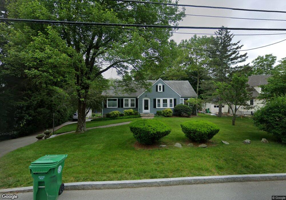
1046 High St Westwood, MA 02090
Estimated Value: $918,000 - $1,264,005
3
Beds
2
Baths
1,632
Sq Ft
$671/Sq Ft
Est. Value
About This Home
This home is located at 1046 High St, Westwood, MA 02090 and is currently estimated at $1,094,501, approximately $670 per square foot. 1046 High St is a home located in Norfolk County with nearby schools including Westwood High School, St Catherine Of Siena School, and Xaverian Brothers High School.
Ownership History
Date
Name
Owned For
Owner Type
Purchase Details
Closed on
Nov 14, 2012
Sold by
Mcgonagle Laura L
Bought by
Laura L Mcgonagle Ret and Mcgonagle Laura L
Current Estimated Value
Purchase Details
Closed on
Dec 21, 2005
Sold by
Huskins Judith
Bought by
Mcgonagle Kenneth D and Mcgonagle Laura L
Home Financials for this Owner
Home Financials are based on the most recent Mortgage that was taken out on this home.
Original Mortgage
$360,000
Interest Rate
6.36%
Mortgage Type
Purchase Money Mortgage
Purchase Details
Closed on
Jun 3, 1999
Sold by
High St Rt
Bought by
Huskins Judith L
Home Financials for this Owner
Home Financials are based on the most recent Mortgage that was taken out on this home.
Original Mortgage
$150,000
Interest Rate
6.85%
Mortgage Type
Purchase Money Mortgage
Create a Home Valuation Report for This Property
The Home Valuation Report is an in-depth analysis detailing your home's value as well as a comparison with similar homes in the area
Home Values in the Area
Average Home Value in this Area
Purchase History
| Date | Buyer | Sale Price | Title Company |
|---|---|---|---|
| Laura L Mcgonagle Ret | -- | -- | |
| Mcgonagle Kenneth D | $450,000 | -- | |
| Huskins Judith L | $240,000 | -- |
Source: Public Records
Mortgage History
| Date | Status | Borrower | Loan Amount |
|---|---|---|---|
| Previous Owner | Huskins Judith L | $385,000 | |
| Previous Owner | Mcgonagle Kenneth D | $360,000 | |
| Previous Owner | Huskins Judith L | $150,000 |
Source: Public Records
Tax History Compared to Growth
Tax History
| Year | Tax Paid | Tax Assessment Tax Assessment Total Assessment is a certain percentage of the fair market value that is determined by local assessors to be the total taxable value of land and additions on the property. | Land | Improvement |
|---|---|---|---|---|
| 2025 | $12,763 | $997,100 | $440,100 | $557,000 |
| 2024 | $12,267 | $957,600 | $422,800 | $534,800 |
| 2023 | $10,741 | $751,100 | $349,300 | $401,800 |
| 2022 | $10,540 | $710,750 | $308,900 | $401,850 |
| 2021 | $10,979 | $742,850 | $294,500 | $448,350 |
| 2020 | $10,119 | $697,350 | $288,100 | $409,250 |
| 2019 | $9,850 | $672,350 | $274,100 | $398,250 |
| 2018 | $9,271 | $614,350 | $274,100 | $340,250 |
| 2017 | $9,166 | $629,100 | $274,100 | $355,000 |
| 2016 | $8,981 | $612,650 | $274,100 | $338,550 |
| 2015 | $6,559 | $430,350 | $274,100 | $156,250 |
Source: Public Records
Map
Nearby Homes