1046 Leo Carter Rd Sadler, TX 76264
Estimated Value: $790,883
--
Bed
--
Bath
1,216
Sq Ft
$650/Sq Ft
Est. Value
About This Home
This home is located at 1046 Leo Carter Rd, Sadler, TX 76264 and is currently estimated at $790,883, approximately $650 per square foot. 1046 Leo Carter Rd is a home located in Grayson County with nearby schools including S&S Consolidated Elementary School, S&S Consolidated Middle School, and S. & S. Cons H.S..
Ownership History
Date
Name
Owned For
Owner Type
Purchase Details
Closed on
Apr 12, 2019
Sold by
Sharp Michael L and Sharp Sylvia
Bought by
Mullican Jimmy Craig and Mullican Krista Marie
Current Estimated Value
Home Financials for this Owner
Home Financials are based on the most recent Mortgage that was taken out on this home.
Original Mortgage
$225,651
Outstanding Balance
$151,104
Interest Rate
5.5%
Mortgage Type
Adjustable Rate Mortgage/ARM
Estimated Equity
$639,779
Create a Home Valuation Report for This Property
The Home Valuation Report is an in-depth analysis detailing your home's value as well as a comparison with similar homes in the area
Home Values in the Area
Average Home Value in this Area
Purchase History
| Date | Buyer | Sale Price | Title Company |
|---|---|---|---|
| Mullican Jimmy Craig | -- | Red River Title Co |
Source: Public Records
Mortgage History
| Date | Status | Borrower | Loan Amount |
|---|---|---|---|
| Open | Mullican Jimmy Craig | $225,651 |
Source: Public Records
Tax History Compared to Growth
Tax History
| Year | Tax Paid | Tax Assessment Tax Assessment Total Assessment is a certain percentage of the fair market value that is determined by local assessors to be the total taxable value of land and additions on the property. | Land | Improvement |
|---|---|---|---|---|
| 2025 | $248 | $22,361 | -- | -- |
| 2024 | $350 | $23,527 | $0 | $0 |
| 2023 | $225 | $22,004 | $0 | $0 |
| 2022 | $290 | $17,274 | $0 | $0 |
| 2021 | $280 | $14,739 | $10,971 | $3,768 |
| 2020 | $349 | $17,849 | $11,396 | $6,453 |
| 2019 | $1,592 | $75,041 | $11,008 | $64,033 |
| 2018 | $1,023 | $52,675 | $8,613 | $44,062 |
| 2017 | $1,042 | $53,275 | $8,774 | $44,501 |
| 2016 | $1,015 | $51,895 | $8,750 | $43,145 |
| 2015 | $1,021 | $51,743 | $8,678 | $43,065 |
| 2014 | $5,194 | $263,342 | $219,177 | $44,165 |
Source: Public Records
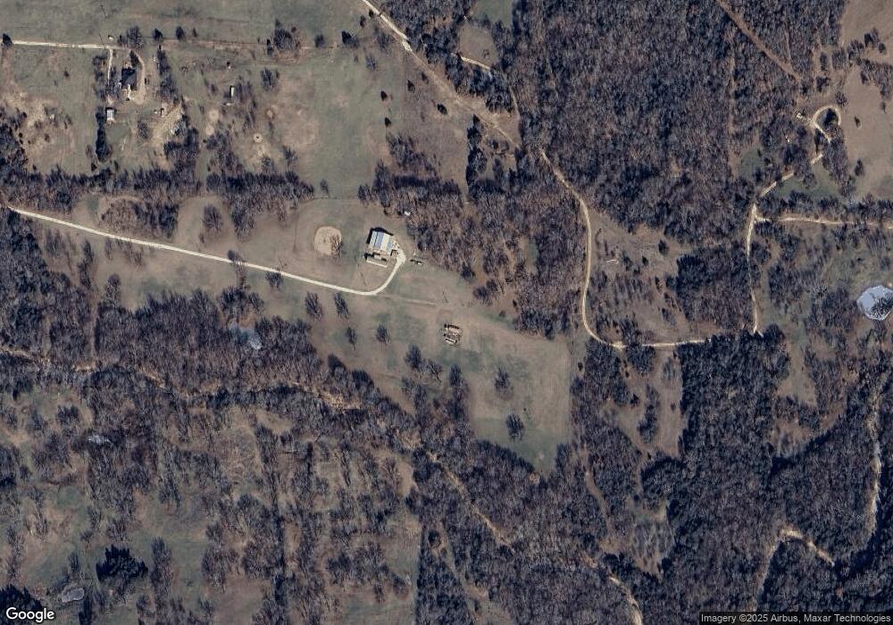
Map
Nearby Homes
- 693 Gilbreath Rd
- TBD Farm To Market Road 901
- 527 Copperas Rd
- Tract 5 Gilbreath Rd
- Tract 4 Gilbreath Rd
- Tract 2 Gilbreath Rd
- Tract 8 Gilbreath Rd
- Tract 6 Gilbreath Rd
- TBD Arkansas Rd
- 664 Earl Rd
- 11 Acres Tract 4 Unit Gilbreath Road Sad
- Tract 2 Gilbreath Rd
- TBD 5E Arkansas Rd
- TBD 5W Arkansas Rd
- 8 Arkansas Rd
- TBD 1W Arkansas Rd
- TBD 1E Arkansas Rd
- 83 Arkansas Rd
- 7 Arkansas Rd
- 3138 Scarbrough Rd
- 108 Bagwell Rd
- 949 Leo Carter Rd
- 701 Copperas Rd
- 13431 Fm 901
- 640 Copperas Rd
- 590 Gilbreath Rd
- 538 Copperas Rd
- 538 Copperas Rd
- 13707 Fm 901
- 887 Gilbreath Rd
- 34 Oak Tree Ln
- 919 Gilbreath Rd
- TBD Lot 3 Copperas Rd
- 614 Sandusky Rd
- 99 Oak Tree Ln
- 991 Gilbreath Rd
- 70 Gilbreath Rd
- 112 Oak Tree Ln
- 0 Fm 901 Unit 13511841
- 0 Fm 901 Unit 13751743