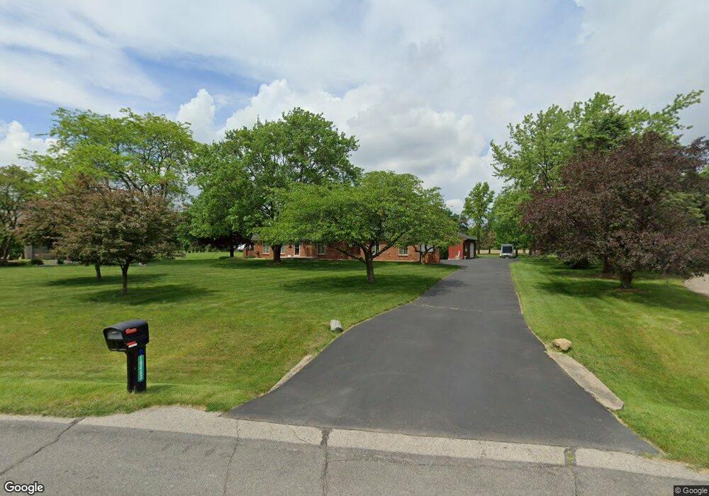
10483 Homestead Ln Plymouth, MI 48170
Estimated Value: $586,000 - $703,000
4
Beds
3
Baths
2,237
Sq Ft
$285/Sq Ft
Est. Value
About This Home
This home is located at 10483 Homestead Ln, Plymouth, MI 48170 and is currently estimated at $636,654, approximately $284 per square foot. 10483 Homestead Ln is a home located in Washtenaw County with nearby schools including Canton High School, Bird Elementary School, and West Middle School.
Ownership History
Date
Name
Owned For
Owner Type
Purchase Details
Closed on
Oct 23, 2017
Sold by
Lerouz Annette M
Bought by
Goscinski Jeffrey
Current Estimated Value
Purchase Details
Closed on
May 16, 2016
Sold by
Leroux Annette Marie
Bought by
Annette H Leroux Trust
Purchase Details
Closed on
Oct 6, 2014
Sold by
Ward James E and Ward Amy J
Bought by
Ross William James and Leroux Annette Marie
Create a Home Valuation Report for This Property
The Home Valuation Report is an in-depth analysis detailing your home's value as well as a comparison with similar homes in the area
Home Values in the Area
Average Home Value in this Area
Purchase History
| Date | Buyer | Sale Price | Title Company |
|---|---|---|---|
| Goscinski Jeffrey | $425,000 | Nations Title Agency | |
| Annette H Leroux Trust | -- | None Available | |
| Leroux Annette Marie | -- | None Available | |
| Ross William James | $389,000 | Nations Title Agency |
Source: Public Records
Tax History Compared to Growth
Tax History
| Year | Tax Paid | Tax Assessment Tax Assessment Total Assessment is a certain percentage of the fair market value that is determined by local assessors to be the total taxable value of land and additions on the property. | Land | Improvement |
|---|---|---|---|---|
| 2025 | $4,321 | $255,850 | $0 | $0 |
| 2024 | $4,321 | $241,100 | $0 | $0 |
| 2023 | $4,119 | $181,150 | $0 | $0 |
| 2022 | $448 | $172,850 | $0 | $0 |
| 2021 | $4,245 | $181,850 | $0 | $0 |
| 2020 | $4,199 | $163,050 | $0 | $0 |
| 2019 | $419 | $160,450 | $160,450 | $0 |
| 2018 | $3,957 | $152,350 | $0 | $0 |
| 2017 | $3,595 | $155,000 | $0 | $0 |
| 2016 | $3,044 | $141,800 | $0 | $0 |
| 2015 | -- | $150,000 | $0 | $0 |
| 2014 | -- | $125,829 | $0 | $0 |
| 2013 | -- | $125,829 | $0 | $0 |
Source: Public Records
Map
Nearby Homes
- 00 N Territorial Rd
- 0000 N Territorial Rd
- 10631 Homestead Ln
- 6411 Lapham Ct
- 6908 Abi Ln
- 6755 Brook Trout Ct
- 50536 Cottonwood Ct
- 50499 Cottonwood Ct Unit 26
- 50511 Beechwood Ct Unit 1112
- 50492 Beechwood Ct
- 50520 Elmwood Ct
- 50501 Elmwood Ct Unit 11
- 9109 N Territorial Rd
- 11641 Chandler Dr
- 9343 5 Mile Rd
- 0 E Ann Arbor Trail Unit 20251048195
- 14180 F Dr
- 49582 Main Dr
- 46755 Five Mile Rd
- 9875 Ann Arbor Trail
- 10495 Homestead Ln
- 10343 Dobbin Ln
- 10329 Dobbin Ln
- 10509 Homestead Ln
- 10478 Homestead Ln
- 10533 Homestead Ln
- 10457 Homestead Ln
- 10315 Dobbin Ln
- 10448 Homestead Ln
- 10319 Dobbin Ln
- 10534 Homestead Ln
- 10551 Homestead Ln
- 10445 Homestead Ln
- 10510 Homestead Ln
- 10434 Homestead Ln
- 10571 Homestead Ln
- 10433 Homestead Ln
- 10435 N Territorial Rd
- 10418 Homestead Ln
- 10552 Homestead Ln