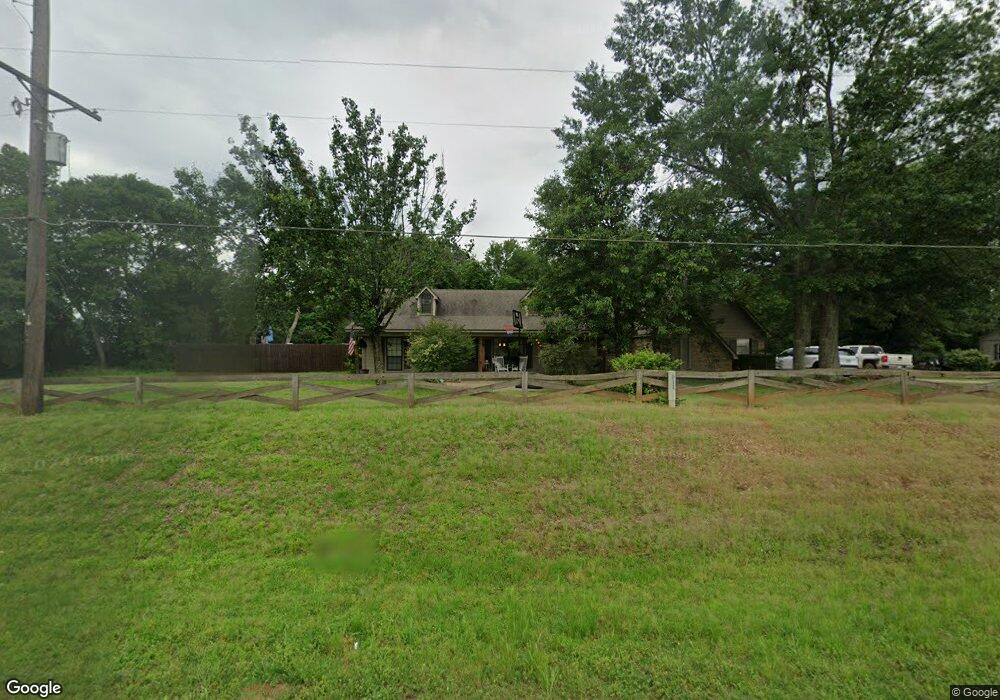
10490 State Highway 149 Longview, TX 75603
Estimated Value: $312,683 - $347,000
--
Bed
2
Baths
1,800
Sq Ft
$188/Sq Ft
Est. Value
About This Home
This home is located at 10490 State Highway 149, Longview, TX 75603 and is currently estimated at $337,921, approximately $187 per square foot. 10490 State Highway 149 is a home located in Gregg County with nearby schools including Ned E. Williams Elementary School.
Ownership History
Date
Name
Owned For
Owner Type
Purchase Details
Closed on
Mar 15, 2012
Sold by
Elliott James A and Elliott De Ann
Bought by
Hicks Beau
Current Estimated Value
Home Financials for this Owner
Home Financials are based on the most recent Mortgage that was taken out on this home.
Original Mortgage
$167,639
Outstanding Balance
$116,813
Interest Rate
4.25%
Mortgage Type
FHA
Estimated Equity
$221,108
Purchase Details
Closed on
Jan 26, 2005
Sold by
Williams Ronald G and Williams Judy
Bought by
Fowler Marion S and Fowler Linda K
Home Financials for this Owner
Home Financials are based on the most recent Mortgage that was taken out on this home.
Original Mortgage
$65,000
Interest Rate
5.71%
Mortgage Type
Purchase Money Mortgage
Create a Home Valuation Report for This Property
The Home Valuation Report is an in-depth analysis detailing your home's value as well as a comparison with similar homes in the area
Home Values in the Area
Average Home Value in this Area
Purchase History
| Date | Buyer | Sale Price | Title Company |
|---|---|---|---|
| Hicks Beau | -- | Ctc | |
| Fowler Marion S | -- | Ctc |
Source: Public Records
Mortgage History
| Date | Status | Borrower | Loan Amount |
|---|---|---|---|
| Open | Hicks Beau | $167,639 | |
| Previous Owner | Fowler Marion S | $65,000 |
Source: Public Records
Tax History Compared to Growth
Tax History
| Year | Tax Paid | Tax Assessment Tax Assessment Total Assessment is a certain percentage of the fair market value that is determined by local assessors to be the total taxable value of land and additions on the property. | Land | Improvement |
|---|---|---|---|---|
| 2025 | $4,076 | $275,590 | $16,670 | $258,920 |
| 2024 | $4,076 | $265,050 | $16,670 | $248,380 |
| 2023 | $3,819 | $251,240 | $13,990 | $237,250 |
| 2022 | $3,066 | $179,840 | $7,250 | $172,590 |
| 2021 | $3,019 | $167,690 | $7,250 | $160,440 |
| 2020 | $2,929 | $162,380 | $7,250 | $155,130 |
| 2019 | $3,062 | $163,410 | $7,250 | $156,160 |
| 2018 | $3,073 | $164,680 | $7,250 | $157,430 |
| 2017 | $3,113 | $166,160 | $7,250 | $158,910 |
| 2016 | $3,164 | $168,840 | $7,250 | $161,590 |
| 2015 | $3,190 | $170,220 | $7,250 | $162,970 |
| 2014 | -- | $170,960 | $7,250 | $163,710 |
Source: Public Records
Map
Nearby Homes
- 10490 Texas 149
- 10095 Texas 149 Unit 10095 Texas 149
- 342 Old Easton Rd
- TBD Texas 149
- 1832 Fm 2906
- 816 Victorian Oaks
- 218 Stanley Rd
- 14658 County Road 2169d Unit D
- TBD Fm 2906
- TBD Prospect Rd
- 16152 Fm 1716 E
- 14384 County Road 2125
- TBD Jones Rd
- 0 Cr 3321 Unit Talley Road
- 404 Jones Rd
- 310 Meadowlark Ln
- 281 S Tracy Dr
- 15753 Barton Rd
- 258 White Rd
- 206 Walters St
- 10426 Texas 149
- 10426 State Highway 49
- 10428 Texas 149
- 1372 Garden Dr
- 2878 Fm 2906
- 2858 Fm 2906
- 2832 Fm 2906
- 1370 Garden Dr
- 10623 Texas 149
- 147 Garden Dr
- 1427 Garden Dr
- 125 Garden Dr
- 10327 State Highway 149
- 172 Garden Dr
- 1289 Garden Dr
- 120 Garden Dr
- 2674 Fm 2906
- 279 Garden Dr
- 212 Garden Dr
- 309 Garden Dr