105 Cedar Rd Dillsburg, PA 17019
Warrington Township NeighborhoodEstimated Value: $125,189
--
Bed
--
Bath
--
Sq Ft
44.76
Acres
About This Home
This home is located at 105 Cedar Rd, Dillsburg, PA 17019 and is currently estimated at $125,189. 105 Cedar Rd is a home located in York County with nearby schools including Northern Middle School and Northern High School.
Ownership History
Date
Name
Owned For
Owner Type
Purchase Details
Closed on
Nov 24, 2021
Sold by
Throne Audrey F and Throne Terry L
Bought by
Throne Audrey F and Throne Terry L
Current Estimated Value
Purchase Details
Closed on
Oct 20, 2020
Sold by
Evans James A and Evans Judith T
Bought by
Klinepeter Jennifer A
Purchase Details
Closed on
Nov 22, 2011
Sold by
Folk Jennifer M and Folk R
Bought by
Member 1St Federal Credit Union
Purchase Details
Closed on
Mar 11, 2004
Sold by
Evans James A and Evans Judith T
Bought by
Evans James A and Evans Judith T
Purchase Details
Closed on
Oct 18, 2002
Sold by
Leckrone David E and Leckrone Norberta C
Bought by
Evans James A and Evans Judith T
Create a Home Valuation Report for This Property
The Home Valuation Report is an in-depth analysis detailing your home's value as well as a comparison with similar homes in the area
Home Values in the Area
Average Home Value in this Area
Purchase History
| Date | Buyer | Sale Price | Title Company |
|---|---|---|---|
| Throne Audrey F | -- | None Available | |
| Klinepeter Jennifer A | -- | None Available | |
| Member 1St Federal Credit Union | $3,002 | None Available | |
| Evans James A | -- | -- | |
| Evans James A | $58,170 | -- | |
| Evans James A | $89,000 | -- |
Source: Public Records
Tax History Compared to Growth
Tax History
| Year | Tax Paid | Tax Assessment Tax Assessment Total Assessment is a certain percentage of the fair market value that is determined by local assessors to be the total taxable value of land and additions on the property. | Land | Improvement |
|---|---|---|---|---|
| 2025 | $149 | $5,470 | $4,000 | $1,470 |
| 2024 | $147 | $5,470 | $4,000 | $1,470 |
| 2023 | $144 | $5,470 | $4,000 | $1,470 |
| 2022 | $141 | $5,470 | $4,000 | $1,470 |
| 2021 | $132 | $5,470 | $4,000 | $1,470 |
| 2020 | $129 | $5,470 | $4,000 | $1,470 |
| 2019 | $126 | $5,470 | $4,000 | $1,470 |
| 2018 | $123 | $5,470 | $4,000 | $1,470 |
| 2017 | $123 | $5,470 | $4,000 | $1,470 |
| 2016 | $0 | $5,470 | $4,000 | $1,470 |
| 2015 | -- | $5,370 | $3,900 | $1,470 |
| 2014 | -- | $6,010 | $4,540 | $1,470 |
Source: Public Records
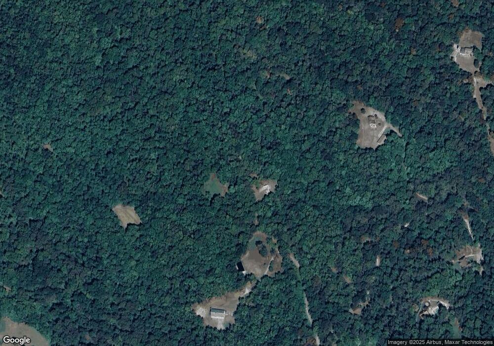
Map
Nearby Homes
- 375 Mount Zion Rd
- 81 Tannery Rd
- Lot 2A Nursery Rd
- Lot 3A Nursery Rd
- Lot 2 Nursery Rd
- Lot 1 Nursery Rd
- 6 Glencarron Ct
- 5 Glencarron Ct
- 111 Lightfoot Ln
- 640 Mumper Ln
- lot 1 Baltimore St
- 206 Eagle Rd
- 1540 Baltimore Rd
- 112 W South St
- 1160 Park Ave
- 0 Church St Unit PAYK2054218
- Carnegie II Plan at Stony Run Single Family Homes
- Cranberry II Plan at Stony Run Single Family Homes
- Edgewood II Plan at Stony Run Single Family Homes
- Whitehall II Plan at Stony Run Single Family Homes
- 115 Cedar Dr
- 115 Cedar Dr
- 112 Cedar Rd
- 75 Cedar Dr
- 595 Garrett Rd
- 100 Cedar Dr
- 100 Cedar Dr
- 945 Mount Zion Rd Unit 119
- 945 Mount Zion Rd
- 302 (Lot #1) Cedar Rd
- 302 Cedar (Lot #1) St
- 307 Cedar (Lot #7) St
- 311 Cedar (Lot #8) St
- 312 Cedar (Lot #2) St
- 322 Cedar (Lot #5) St
- 331 Cedar (Lot #10) St
- 855 Mount Zion Rd
- 336 Cedar (Lot #6) St
- 270 Cedar Dr