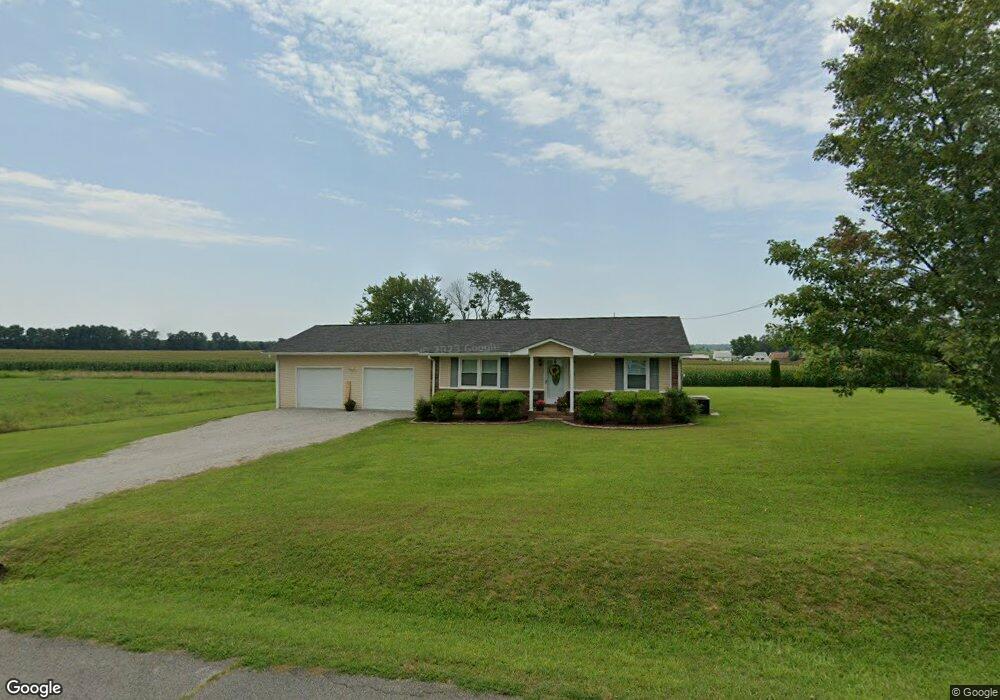
105 Michael Cir Lawrenceburg, TN 38464
Estimated Value: $214,711 - $264,000
--
Bed
2
Baths
1,380
Sq Ft
$179/Sq Ft
Est. Value
About This Home
This home is located at 105 Michael Cir, Lawrenceburg, TN 38464 and is currently estimated at $246,928, approximately $178 per square foot. 105 Michael Cir is a home located in Lawrence County with nearby schools including Ingram Sowell Elementary School, Lawrenceburg Public Elementary School, and David Crockett Elementary School.
Ownership History
Date
Name
Owned For
Owner Type
Purchase Details
Closed on
Jul 11, 1997
Sold by
Bailey Gary L
Bought by
Bailey Carol A
Current Estimated Value
Purchase Details
Closed on
Apr 30, 1991
Bought by
Bailey Gary L and Bailey Carol A
Purchase Details
Closed on
May 20, 1988
Bought by
Robbins Billy Joe
Purchase Details
Closed on
Apr 29, 1986
Create a Home Valuation Report for This Property
The Home Valuation Report is an in-depth analysis detailing your home's value as well as a comparison with similar homes in the area
Home Values in the Area
Average Home Value in this Area
Purchase History
| Date | Buyer | Sale Price | Title Company |
|---|---|---|---|
| Bailey Carol A | -- | -- | |
| Bailey Gary L | $43,000 | -- | |
| Robbins Billy Joe | -- | -- | |
| -- | $3,000 | -- |
Source: Public Records
Tax History Compared to Growth
Tax History
| Year | Tax Paid | Tax Assessment Tax Assessment Total Assessment is a certain percentage of the fair market value that is determined by local assessors to be the total taxable value of land and additions on the property. | Land | Improvement |
|---|---|---|---|---|
| 2025 | $814 | $40,475 | $0 | $0 |
| 2024 | $814 | $40,475 | $5,000 | $35,475 |
| 2023 | $814 | $40,475 | $5,000 | $35,475 |
| 2022 | $814 | $40,475 | $5,000 | $35,475 |
| 2021 | $705 | $23,825 | $2,500 | $21,325 |
| 2020 | $705 | $23,825 | $2,500 | $21,325 |
| 2019 | $705 | $23,825 | $2,500 | $21,325 |
| 2018 | $705 | $23,825 | $2,500 | $21,325 |
| 2017 | $705 | $23,825 | $2,500 | $21,325 |
| 2016 | $705 | $23,825 | $2,500 | $21,325 |
| 2015 | $652 | $23,825 | $2,500 | $21,325 |
| 2014 | $633 | $23,100 | $2,500 | $20,600 |
Source: Public Records
Map
Nearby Homes
- 1950 Norton Rd
- 206 State Ave
- 2600 Clanton Rd
- 380 Lanning Rd
- 260 Wesley Chapel Rd
- 2073 Choates Creek Rd
- 729 Weakley Creek Rd
- 2342 Pulaski Hwy
- 145 Lantz Rd
- 1194 Harmony Way
- 786 Hillview Dr
- 111 Grandview Dr
- 79 Bishop Rd
- 2290 Grandview Dr
- 0 Lanning Rd
- 123 Quail Dr
- 33 Bishop Rd
- 2024 Powdermill Hill Rd
- 2167 Powdermill Hill Rd
- 107 Pond Dr
- 103 Michael Cir
- 106 Michael Cir
- 104 Michael Cir
- 108 Michael Cir
- 1120 Norton Rd
- 100 Michael Cir
- 110 Michael Cir
- 0 Michael Cir
- 2 Michael Cir
- 139 Michael Cir
- 155 Michael Cir
- 145 Michael Cir
- 1131 Norton Rd
- 174 Michael Cir
- 167 Michael Cir
- 113 Michael Cir
- 137 1/2 Michael Cir
- 137 Michael Cir
- 114 Michael Cir
- 144 Michael Cir