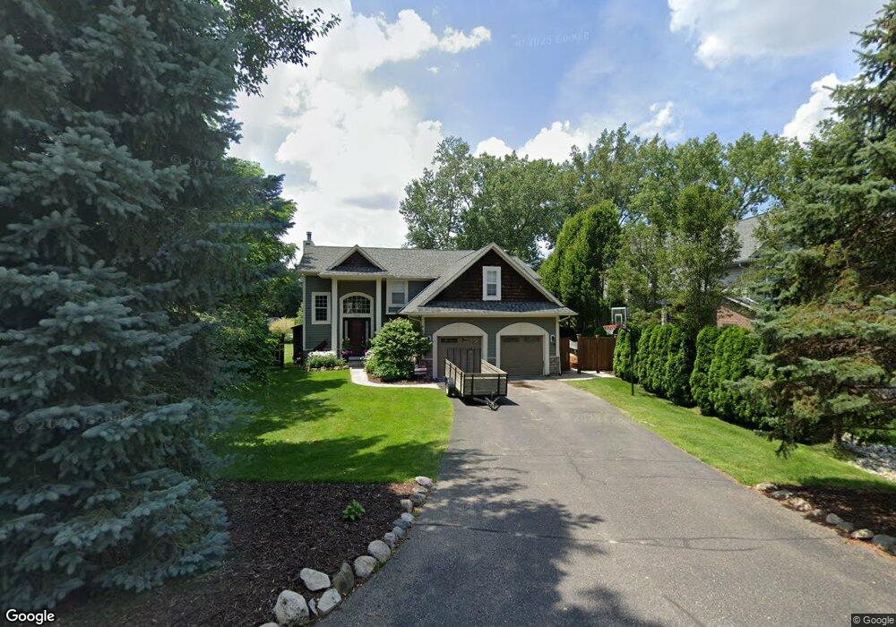
1050 Pelham Blvd Waterford, MI 48328
Waterford Township NeighborhoodEstimated Value: $631,842 - $739,000
4
Beds
3
Baths
2,757
Sq Ft
$254/Sq Ft
Est. Value
About This Home
This home is located at 1050 Pelham Blvd, Waterford, MI 48328 and is currently estimated at $700,961, approximately $254 per square foot. 1050 Pelham Blvd is a home located in Oakland County with nearby schools including Haviland Elementary School, Pierce Middle School, and Waterford Mott High School.
Ownership History
Date
Name
Owned For
Owner Type
Purchase Details
Closed on
Jan 7, 2014
Sold by
West Thomas M and The Estate Of Murray West
Bought by
Manzella Christon and Kelly Thomas
Current Estimated Value
Purchase Details
Closed on
Jan 7, 2005
Sold by
West Murray
Bought by
Manzella Christon and Manzella Marissa
Home Financials for this Owner
Home Financials are based on the most recent Mortgage that was taken out on this home.
Original Mortgage
$85,000
Interest Rate
7.75%
Mortgage Type
Purchase Money Mortgage
Create a Home Valuation Report for This Property
The Home Valuation Report is an in-depth analysis detailing your home's value as well as a comparison with similar homes in the area
Home Values in the Area
Average Home Value in this Area
Purchase History
| Date | Buyer | Sale Price | Title Company |
|---|---|---|---|
| Manzella Christon | $20,500 | None Available | |
| Manzella Christon | $90,000 | Lawyers Title |
Source: Public Records
Mortgage History
| Date | Status | Borrower | Loan Amount |
|---|---|---|---|
| Previous Owner | Manzella Christon | $85,000 |
Source: Public Records
Tax History Compared to Growth
Tax History
| Year | Tax Paid | Tax Assessment Tax Assessment Total Assessment is a certain percentage of the fair market value that is determined by local assessors to be the total taxable value of land and additions on the property. | Land | Improvement |
|---|---|---|---|---|
| 2024 | $2,109 | $282,790 | $0 | $0 |
| 2023 | $2,012 | $272,380 | $0 | $0 |
| 2022 | $3,275 | $258,360 | $0 | $0 |
| 2021 | $3,099 | $241,370 | $0 | $0 |
| 2020 | $1,842 | $187,640 | $0 | $0 |
| 2019 | $3,028 | $164,950 | $0 | $0 |
| 2018 | $3,005 | $121,520 | $0 | $0 |
| 2017 | $2,767 | $121,520 | $0 | $0 |
| 2016 | $2,761 | $103,280 | $0 | $0 |
| 2015 | -- | $92,720 | $0 | $0 |
| 2014 | -- | $84,900 | $0 | $0 |
| 2011 | -- | $76,150 | $0 | $0 |
Source: Public Records
Map
Nearby Homes
- 1036 Pelham Blvd
- 4616 Cass Elizabeth Rd
- 1020 Charest Ave
- 4390 Cass Elizabeth Rd
- 1062 Forest Bay Dr
- 1079 Forest Bay Dr
- 4910 Chipman Dr
- 1080 Forest Bay Ct Unit 114
- 1522 Oregon Ct
- 4275 Forest Valley Ct
- 1029 Monica Place
- 1677 Parkview Ave
- 00000 Muskingum
- 4080 Cass Elizabeth Rd
- 4098 Parkway
- 1375 Nokomis Way
- 0000 VL (lot 016) Parkway St
- 549 Grixdale Ln
- 5171 Durnham Dr
- 941 Shoshone Cir
- 1040 Pelham Blvd
- 1038 Pelham Blvd
- 1056 Pelham Blvd
- 1060 Pelham Blvd
- 1053 Lalond Ave
- 1034 Pelham Blvd
- 1071 Pelham Blvd
- 1075 Lalond Ave
- 1069 Pelham Blvd
- 1032 Pelham Blvd
- 1095 Shady Ln
- 1085 Shady Ln
- 1145 Shady Ln
- 1123 Shady Ln
- 1175 Shady Ln
- 1074 Pelham Blvd
- 1043 Lalond Ave
- 1075 Pelham Blvd
- 1065 Pelham Blvd
- 0 Pelham Blvd