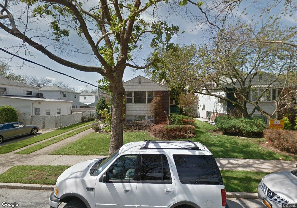
10515 Avenue N Brooklyn, NY 11236
Canarsie NeighborhoodEstimated Value: $737,692 - $1,000,000
4
Beds
3
Baths
2,338
Sq Ft
$378/Sq Ft
Est. Value
About This Home
This home is located at 10515 Avenue N, Brooklyn, NY 11236 and is currently estimated at $884,423, approximately $378 per square foot. 10515 Avenue N is a home located in Kings County with nearby schools including P.S. 272 Curtis Estabrook, I.S. 211 John Wilson, and Canarsie Ascend Charter School.
Ownership History
Date
Name
Owned For
Owner Type
Purchase Details
Closed on
Feb 27, 2019
Sold by
Chitty Constanza
Bought by
Berha Randel and Blanchard Fabianne
Current Estimated Value
Home Financials for this Owner
Home Financials are based on the most recent Mortgage that was taken out on this home.
Original Mortgage
$622,710
Outstanding Balance
$547,468
Interest Rate
4.4%
Mortgage Type
FHA
Estimated Equity
$336,955
Create a Home Valuation Report for This Property
The Home Valuation Report is an in-depth analysis detailing your home's value as well as a comparison with similar homes in the area
Home Values in the Area
Average Home Value in this Area
Purchase History
| Date | Buyer | Sale Price | Title Company |
|---|---|---|---|
| Berha Randel | $680,000 | -- |
Source: Public Records
Mortgage History
| Date | Status | Borrower | Loan Amount |
|---|---|---|---|
| Open | Berha Randel | $622,710 |
Source: Public Records
Tax History Compared to Growth
Tax History
| Year | Tax Paid | Tax Assessment Tax Assessment Total Assessment is a certain percentage of the fair market value that is determined by local assessors to be the total taxable value of land and additions on the property. | Land | Improvement |
|---|---|---|---|---|
| 2025 | $9,388 | $45,600 | $15,240 | $30,360 |
| 2024 | $9,388 | $52,860 | $15,240 | $37,620 |
| 2023 | $9,379 | $57,120 | $15,240 | $41,880 |
| 2022 | $8,737 | $58,980 | $15,240 | $43,740 |
| 2021 | $8,689 | $45,540 | $15,240 | $30,300 |
| 2020 | $6,517 | $41,820 | $15,240 | $26,580 |
| 2019 | $9,490 | $40,560 | $15,240 | $25,320 |
| 2018 | $3,263 | $38,485 | $12,930 | $25,555 |
| 2017 | $4,558 | $36,471 | $14,917 | $21,554 |
| 2016 | $3,162 | $34,407 | $11,972 | $22,435 |
| 2015 | $1,713 | $32,460 | $16,920 | $15,540 |
| 2014 | $1,713 | $32,460 | $16,920 | $15,540 |
Source: Public Records
Map
Nearby Homes
- 1409 E 105th St
- 1375 E 104th St
- 10542 Flatlands 7th St
- 1418 E 104th St
- 10561 Flatlands 7th St
- 10567 Flatlands 7th St
- 10541 Seaview Ave
- 108-10 Flatlands 9th St Unit 15C
- 108- 8 Flatlands 9th St Unit 14A
- 10820 Flatlands 9th St Unit 18D
- 1431 E 108th St Unit 10E
- 10830 Avenue N
- 10811 Flatlands 7th St
- 10584 Flatlands 6th St
- 10813 Seaview Ave Unit 41B
- 1251 E 104th St
- 10849 Seaview Ave Unit 29B
- 1467 E 101st St
- 1324 E 101st St
- 1320 E 101st St
- 10523 Avenue N
- 1375 E 105th St
- 1381 E 105th St
- 10516 Flatlands 8th St
- 10525 Avenue N
- 1369 E 105th St
- 10522 Flatlands 8th St
- 10528 Flatlands 8th St
- 1363 E 105th St
- 10535 Avenue N
- 1403 E 105th St
- 10516 Avenue N
- 10532 Flatlands 8th St
- 10524 Avenue N
- 10526 Avenue N
- 10537 Avenue N
- 10538 Flatlands 8th St
- 10536 Avenue N
- 1351 E 105th St
- 10542 Flatlands 8th St