10517 Old Court Rd Woodstock, MD 21163
Woodstock NeighborhoodEstimated Value: $573,000 - $692,275
--
Bed
3
Baths
2,486
Sq Ft
$255/Sq Ft
Est. Value
About This Home
This home is located at 10517 Old Court Rd, Woodstock, MD 21163 and is currently estimated at $633,819, approximately $254 per square foot. 10517 Old Court Rd is a home located in Baltimore County with nearby schools including Winfield Elementary School, Windsor Mill Middle School, and Randallstown High School.
Ownership History
Date
Name
Owned For
Owner Type
Purchase Details
Closed on
May 9, 2025
Sold by
Geppert Carl F and Geppert Wendy J
Bought by
Geppert Carl F and Geppert Wendy J
Current Estimated Value
Purchase Details
Closed on
Jun 23, 1994
Sold by
Heritge Homes Inc
Bought by
Geppert Carl F
Home Financials for this Owner
Home Financials are based on the most recent Mortgage that was taken out on this home.
Original Mortgage
$213,700
Interest Rate
8.74%
Create a Home Valuation Report for This Property
The Home Valuation Report is an in-depth analysis detailing your home's value as well as a comparison with similar homes in the area
Home Values in the Area
Average Home Value in this Area
Purchase History
| Date | Buyer | Sale Price | Title Company |
|---|---|---|---|
| Geppert Carl F | -- | American Home Title | |
| Geppert Carl F | -- | American Home Title | |
| Geppert Carl F | $215,000 | -- |
Source: Public Records
Mortgage History
| Date | Status | Borrower | Loan Amount |
|---|---|---|---|
| Previous Owner | Geppert Carl F | $213,700 |
Source: Public Records
Tax History Compared to Growth
Tax History
| Year | Tax Paid | Tax Assessment Tax Assessment Total Assessment is a certain percentage of the fair market value that is determined by local assessors to be the total taxable value of land and additions on the property. | Land | Improvement |
|---|---|---|---|---|
| 2025 | $5,998 | $538,767 | -- | -- |
| 2024 | $5,998 | $492,200 | $102,300 | $389,900 |
| 2023 | $2,973 | $485,700 | $0 | $0 |
| 2022 | $5,815 | $479,200 | $0 | $0 |
| 2021 | $5,506 | $472,700 | $102,300 | $370,400 |
| 2020 | $5,506 | $449,333 | $0 | $0 |
| 2019 | $5,223 | $425,967 | $0 | $0 |
| 2018 | $4,940 | $402,600 | $80,700 | $321,900 |
| 2017 | $4,416 | $362,733 | $0 | $0 |
| 2016 | $3,798 | $322,867 | $0 | $0 |
| 2015 | $3,798 | $283,000 | $0 | $0 |
| 2014 | $3,798 | $283,000 | $0 | $0 |
Source: Public Records
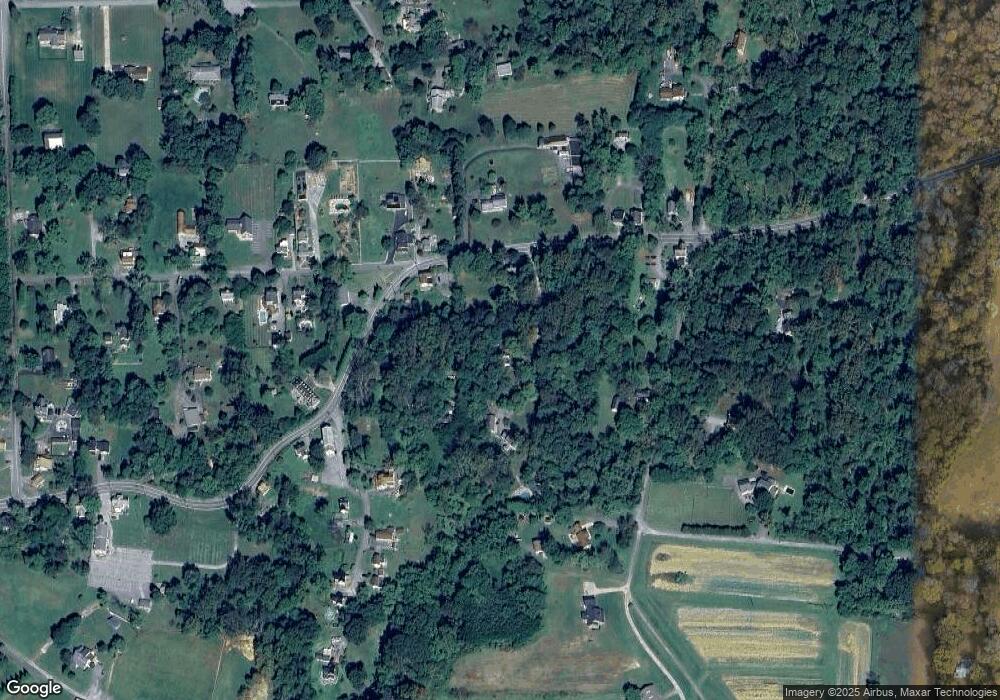
Map
Nearby Homes
- 10628 Saint Paul Ave
- 10719 Old Court Rd
- 10645 Davis Ave
- 10313 Cavey Ln
- 9113 Dogwood Rd
- 3200 Peddicoat Ct
- 10655 Breezewood Dr
- 9605 Mendoza Rd
- 3525 Cabot Rd
- 3517 Kings Point Rd
- 10170 Green Clover Dr
- 10301 Marriottsville Rd
- 0 Wrights Mill Rd Unit MDBC2140880
- 3618 Granite Rd
- 10520 Marriottsville Rd
- 10174 Tracy Beth Ct
- 1800 Mount Denali Dr
- 10185 Green Clover Dr
- 2331 Ridge Tree Ct
- 2211 Mount Hebron Dr
- 10519 Old Court Rd
- 10527 Old Court Rd
- 2732 Melrose Ave
- 2619 Bunker Hill Rd
- 2760 Melrose Ave
- 2738 Melrose Ave
- 10529 Old Court Rd
- 2616 Bunker Hill Rd
- 2611 Bunker Hill Rd
- 0 Old Court Rd Unit BC7531166
- 0 Old Court Rd Unit BC7840637
- 10601 Saint Paul Ave
- 10528 Old Court Rd
- 10612 Old Court Rd
- 10615 Old Court Rd
- 10600 Saint Paul Ave
- 2761 Melrose Ave
- 10522 Old Court Rd
- 10510 Old Court Rd
- 10501 Old Court Rd