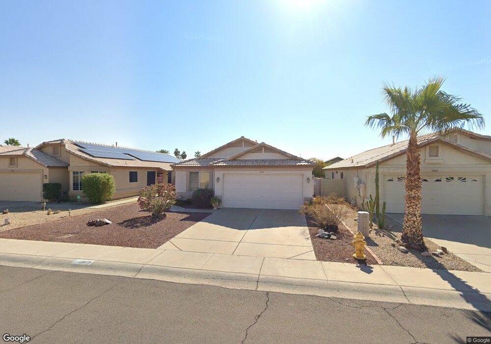
10519 W Mohawk Ln Peoria, AZ 85382
Estimated Value: $307,094 - $343,000
--
Bed
2
Baths
1,295
Sq Ft
$251/Sq Ft
Est. Value
About This Home
This home is located at 10519 W Mohawk Ln, Peoria, AZ 85382 and is currently estimated at $325,024, approximately $250 per square foot. 10519 W Mohawk Ln is a home located in Maricopa County with nearby schools including Parkridge Elementary School, Sunrise Mountain High School, and Candeo Peoria.
Ownership History
Date
Name
Owned For
Owner Type
Purchase Details
Closed on
Jul 12, 2013
Sold by
Stewart Kathy R
Bought by
Eth Harry L
Current Estimated Value
Purchase Details
Closed on
Apr 3, 2008
Sold by
Grue William L
Bought by
Eth Harry L and Stewart Kathy R
Purchase Details
Closed on
May 11, 1995
Sold by
Grue William
Bought by
The William Grue Revocable Trust and Grue William
Create a Home Valuation Report for This Property
The Home Valuation Report is an in-depth analysis detailing your home's value as well as a comparison with similar homes in the area
Home Values in the Area
Average Home Value in this Area
Purchase History
| Date | Buyer | Sale Price | Title Company |
|---|---|---|---|
| Eth Harry L | -- | None Available | |
| Eth Harry L | $110,000 | Capital Title Agency Inc | |
| The William Grue Revocable Trust | -- | -- |
Source: Public Records
Tax History Compared to Growth
Tax History
| Year | Tax Paid | Tax Assessment Tax Assessment Total Assessment is a certain percentage of the fair market value that is determined by local assessors to be the total taxable value of land and additions on the property. | Land | Improvement |
|---|---|---|---|---|
| 2025 | $1,461 | $15,256 | -- | -- |
| 2024 | $1,429 | $14,530 | -- | -- |
| 2023 | $1,429 | $23,950 | $4,790 | $19,160 |
| 2022 | $1,401 | $18,730 | $3,740 | $14,990 |
| 2021 | $1,465 | $17,680 | $3,530 | $14,150 |
| 2020 | $1,679 | $15,480 | $3,090 | $12,390 |
| 2019 | $1,228 | $14,510 | $2,900 | $11,610 |
| 2018 | $1,176 | $13,610 | $2,720 | $10,890 |
| 2017 | $1,178 | $11,800 | $2,360 | $9,440 |
| 2016 | $1,140 | $11,560 | $2,310 | $9,250 |
| 2015 | $1,087 | $10,870 | $2,170 | $8,700 |
Source: Public Records
Map
Nearby Homes
- 20615 N 105th Ave
- 20670 N 105th Dr
- 10630 W Mohawk Ln
- 10347 W Mohawk Ln
- 20360 N 106th Ln
- 10528 W Potter Dr
- 10379 W Tonopah Dr
- 10659 W Yukon Dr
- 20274 N 104th Ave
- 20769 N 106th Ln
- 10344 W Burnett Rd
- 10722 W Irma Ln
- 10728 W Irma Ln
- 10368 W Ross Ave
- 10672 W Ross Ave
- 10763 W Runion Dr
- 20957 N 107th Dr
- 20017 N 101st Ave
- 19845 N Welk Dr
- 20046 N Welk Dr
- 10523 W Mohawk Ln
- 10515 W Mohawk Ln
- 10527 W Mohawk Ln
- 10511 W Mohawk Ln
- 10524 W Runion Dr
- 10520 W Runion Dr
- 10528 W Runion Dr
- 10531 W Mohawk Ln
- 10532 W Runion Dr
- 10516 W Runion Dr
- 10507 W Mohawk Ln
- 10518 W Mohawk Ln
- 10514 W Mohawk Ln
- 10522 W Mohawk Ln
- 10536 W Runion Dr
- 10510 W Mohawk Ln
- 10601 W Mohawk Ln
- 10526 W Mohawk Ln
- 10512 W Runion Dr
- 10540 W Runion Dr