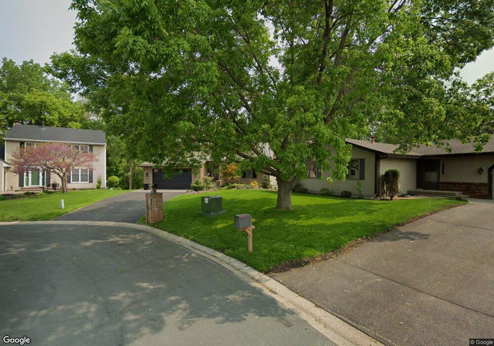
10541 Maryland Cir S Bloomington, MN 55438
West Bloomington NeighborhoodEstimated Value: $657,000 - $679,256
4
Beds
4
Baths
1,675
Sq Ft
$401/Sq Ft
Est. Value
About This Home
This home is located at 10541 Maryland Cir S, Bloomington, MN 55438 and is currently estimated at $671,064, approximately $400 per square foot. 10541 Maryland Cir S is a home located in Hennepin County with nearby schools including Ridgeview Elementary School, Olson Middle School, and Jefferson Senior High School.
Ownership History
Date
Name
Owned For
Owner Type
Purchase Details
Closed on
Aug 9, 2019
Sold by
Nordstrom Gregory and Nordstrom Mary
Bought by
Nordstrom Gregory B and Nordstrom Mary E
Current Estimated Value
Purchase Details
Closed on
Jul 8, 2016
Sold by
Maloney Shawn T and Maloney Theresa Marie
Bought by
Nordstrom Gregory and Nordstrom Mary
Home Financials for this Owner
Home Financials are based on the most recent Mortgage that was taken out on this home.
Original Mortgage
$396,000
Outstanding Balance
$315,719
Interest Rate
3.54%
Mortgage Type
New Conventional
Estimated Equity
$355,345
Create a Home Valuation Report for This Property
The Home Valuation Report is an in-depth analysis detailing your home's value as well as a comparison with similar homes in the area
Home Values in the Area
Average Home Value in this Area
Purchase History
| Date | Buyer | Sale Price | Title Company |
|---|---|---|---|
| Nordstrom Gregory B | -- | None Available | |
| Nordstrom Gregory | $495,000 | Liberty Title Inc |
Source: Public Records
Mortgage History
| Date | Status | Borrower | Loan Amount |
|---|---|---|---|
| Open | Nordstrom Gregory | $396,000 |
Source: Public Records
Tax History Compared to Growth
Tax History
| Year | Tax Paid | Tax Assessment Tax Assessment Total Assessment is a certain percentage of the fair market value that is determined by local assessors to be the total taxable value of land and additions on the property. | Land | Improvement |
|---|---|---|---|---|
| 2024 | $8,669 | $639,100 | $180,500 | $458,600 |
| 2023 | $8,059 | $640,300 | $191,900 | $448,400 |
| 2022 | $7,195 | $610,700 | $177,500 | $433,200 |
| 2021 | $6,551 | $550,800 | $169,600 | $381,200 |
| 2020 | $7,304 | $513,700 | $161,800 | $351,900 |
| 2019 | $6,592 | $549,400 | $161,800 | $387,600 |
| 2018 | $6,665 | $495,900 | $176,400 | $319,500 |
| 2017 | $6,598 | $481,300 | $163,300 | $318,000 |
| 2016 | $6,965 | $481,700 | $146,900 | $334,800 |
| 2015 | $6,553 | $435,400 | $138,900 | $296,500 |
| 2014 | -- | $411,000 | $134,600 | $276,400 |
Source: Public Records
Map
Nearby Homes
- 7401 Landau Dr Unit 12
- 7256 Woodstock Dr
- 7321 Woodstock Curve
- 7534 Landau Dr
- 10433 Utah Rd
- 7501 W 101st St Unit 107
- 7501 W 101st St Unit 310
- 10170 Utah Ave S
- 10911 Rhode Island Ave S
- 10907 Rhode Island Ave S
- 10926 Bush Lake Rd
- 7471 W 110th St
- 7525 W 110th St Unit 7
- 11058 Oregon Curve
- 11015 Oregon Curve
- 10707 Yukon Ave S
- 8149 W 103rd St
- 6000 W 105th St
- 7019 W 110th Street Cir Unit 15
- 11036 Quebec Cir
- 10539 Maryland Cir S
- 10543 Maryland Cir S
- 6954 W 105th St
- 6948 W 105th St
- 10545 Maryland Cir S
- 10537 Maryland Cir S
- 10535 Maryland Cir S
- 10500 Louisiana Ave S
- 6940 W 105th St
- 10533 Maryland Cir S
- 10547 Maryland Cir S
- 10531 Maryland Cir S
- 10508 Louisiana Ave S
- 10521 Maryland Rd
- 6932 W 105th St
- 10523 Maryland Rd
- 10549 Maryland Cir S
- 10529 Maryland Cir S
- 6925 W 105th St
- 10516 Louisiana Ave S