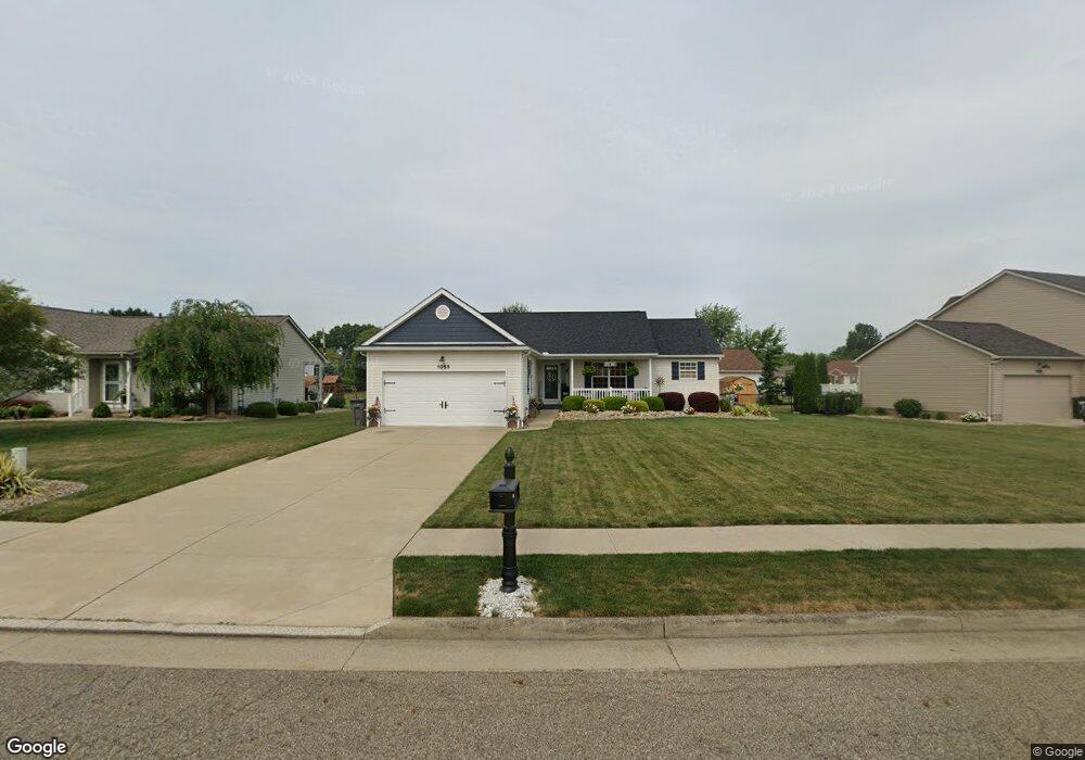
1055 S Marion Ave Louisville, OH 44641
Estimated Value: $260,641 - $297,000
3
Beds
2
Baths
1,612
Sq Ft
$173/Sq Ft
Est. Value
About This Home
This home is located at 1055 S Marion Ave, Louisville, OH 44641 and is currently estimated at $279,410, approximately $173 per square foot. 1055 S Marion Ave is a home located in Stark County with nearby schools including Louisville High School and St. Thomas Aquinas High School & Middle School.
Ownership History
Date
Name
Owned For
Owner Type
Purchase Details
Closed on
Apr 26, 2019
Sold by
Castle Antoinette M and Crowl Antoinette M
Bought by
Rundo Phillip S and Rundo Joanne
Current Estimated Value
Home Financials for this Owner
Home Financials are based on the most recent Mortgage that was taken out on this home.
Original Mortgage
$160,000
Outstanding Balance
$140,672
Interest Rate
4.2%
Mortgage Type
New Conventional
Estimated Equity
$138,738
Purchase Details
Closed on
Jul 1, 2008
Sold by
Crowl Antoinette M
Bought by
Crowl Antoinette M
Create a Home Valuation Report for This Property
The Home Valuation Report is an in-depth analysis detailing your home's value as well as a comparison with similar homes in the area
Home Values in the Area
Average Home Value in this Area
Purchase History
| Date | Buyer | Sale Price | Title Company |
|---|---|---|---|
| Rundo Phillip S | $165,000 | None Available | |
| Crowl Antoinette M | -- | Attorney |
Source: Public Records
Mortgage History
| Date | Status | Borrower | Loan Amount |
|---|---|---|---|
| Open | Rundo Phillip S | $160,000 |
Source: Public Records
Tax History Compared to Growth
Tax History
| Year | Tax Paid | Tax Assessment Tax Assessment Total Assessment is a certain percentage of the fair market value that is determined by local assessors to be the total taxable value of land and additions on the property. | Land | Improvement |
|---|---|---|---|---|
| 2025 | -- | $73,370 | $14,180 | $59,190 |
| 2024 | -- | $73,370 | $14,180 | $59,190 |
| 2023 | $2,766 | $64,370 | $13,370 | $51,000 |
| 2022 | $2,772 | $64,370 | $13,370 | $51,000 |
| 2021 | $2,780 | $64,370 | $13,370 | $51,000 |
| 2020 | $2,265 | $56,950 | $12,040 | $44,910 |
| 2019 | $2,362 | $59,500 | $12,600 | $46,900 |
| 2018 | $2,434 | $59,500 | $12,600 | $46,900 |
| 2017 | $2,294 | $54,110 | $11,060 | $43,050 |
| 2016 | $2,341 | $54,110 | $11,060 | $43,050 |
| 2015 | $2,348 | $54,110 | $11,060 | $43,050 |
| 2014 | $183 | $46,770 | $9,560 | $37,210 |
| 2013 | $1,095 | $46,770 | $9,560 | $37,210 |
Source: Public Records
Map
Nearby Homes
- 1715 High St
- 1812 E Broad St
- 2110 Edmar St
- 641 S Nickelplate St
- 308 Superior St
- 520 S Silver St
- 728 E Broad St
- 2015 E Main St
- 0 Michigan Blvd
- 908 Sand Lot Cir
- 3390 Meese Rd NE
- 510 S Bauman Ct
- 204 E Broad St
- 107 E Broad St
- 325 Lincoln Ave
- 1170 Winding Ridge Ave
- 1702 View Pointe Ave
- 8225 Georgetown St
- 1639 Horizon Dr
- 910 Crosswyck Cir
- 1085 S Marion Ave
- 1025 S Marion Ave
- 1728 Briarwood St
- 1716 Briarwood St
- 1739 Briarwood St
- 1060 S Marion Ave
- 1731 Opal St
- 1756 Briarwood St
- 1040 S Marion Ave
- 1080 S Marion Ave
- 1721 Opal St
- 1704 Briarwood St
- 1805 Opal St
- 1727 Briarwood St
- 970 S Marion Ave
- 1707 Opal St
- 58 Briarwood St
- 1776 Briarwood St
- 1715 Briarwood St
- 1055 Cypress Ave