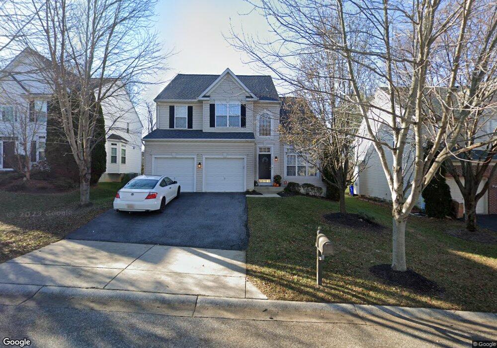
10559 Hounslow Dr Woodstock, MD 21163
Waverly Woods NeighborhoodEstimated Value: $811,000 - $1,009,000
--
Bed
4
Baths
2,758
Sq Ft
$338/Sq Ft
Est. Value
About This Home
This home is located at 10559 Hounslow Dr, Woodstock, MD 21163 and is currently estimated at $933,208, approximately $338 per square foot. 10559 Hounslow Dr is a home located in Howard County with nearby schools including Waverly Elementary School, Mount View Middle School, and Marriotts Ridge High School.
Ownership History
Date
Name
Owned For
Owner Type
Purchase Details
Closed on
Apr 26, 2004
Sold by
Cendant Mobility Financial
Bought by
Helanie Jeffers
Current Estimated Value
Purchase Details
Closed on
Apr 22, 2004
Sold by
Cendant Mobility Financial
Bought by
Helanie Jeffers
Purchase Details
Closed on
Dec 31, 2002
Sold by
Patriot Homes Inc
Bought by
Daniel Haer and Daniel Haer Maureen
Create a Home Valuation Report for This Property
The Home Valuation Report is an in-depth analysis detailing your home's value as well as a comparison with similar homes in the area
Home Values in the Area
Average Home Value in this Area
Purchase History
| Date | Buyer | Sale Price | Title Company |
|---|---|---|---|
| Helanie Jeffers | $570,000 | -- | |
| Cendant Mobility Financial | $570,000 | -- | |
| Helanie Jeffers | $570,000 | -- | |
| Daniel Haer | $428,741 | -- |
Source: Public Records
Mortgage History
| Date | Status | Borrower | Loan Amount |
|---|---|---|---|
| Closed | Daniel Haer | -- |
Source: Public Records
Tax History Compared to Growth
Tax History
| Year | Tax Paid | Tax Assessment Tax Assessment Total Assessment is a certain percentage of the fair market value that is determined by local assessors to be the total taxable value of land and additions on the property. | Land | Improvement |
|---|---|---|---|---|
| 2025 | $9,547 | $699,933 | $0 | $0 |
| 2024 | $9,547 | $621,000 | $179,100 | $441,900 |
| 2023 | $9,452 | $621,000 | $179,100 | $441,900 |
| 2022 | $9,412 | $621,000 | $179,100 | $441,900 |
| 2021 | $9,551 | $635,800 | $272,000 | $363,800 |
| 2020 | $9,551 | $630,667 | $0 | $0 |
| 2019 | $9,477 | $625,533 | $0 | $0 |
| 2018 | $8,962 | $620,400 | $188,000 | $432,400 |
| 2017 | $8,571 | $620,400 | $0 | $0 |
| 2016 | -- | $568,067 | $0 | $0 |
| 2015 | -- | $541,900 | $0 | $0 |
| 2014 | -- | $536,967 | $0 | $0 |
Source: Public Records
Map
Nearby Homes
- 10682 Hillingdon Rd
- 10715 Taylor Farm Rd
- 2115 Ganton Green Unit G106
- 2208 Merion Pond
- 2111 Ganton Green
- 11100 Chambers Ct Unit C
- 11100 Chambers Ct Unit F
- 11100 Chambers Ct Unit K
- 11110 Chambers Ct Unit A
- 11120 Chambers Ct Unit Q
- 11150 Chambers Ct Unit H
- 1800 Mount Denali Dr
- 2241 John Gravel Rd Unit M
- 2231 John Gravel Rd Unit L
- 2350 Adam David Way
- 2740 Emma Stone Dr
- 10311 Winstead Ct
- 10530 Resort Rd Unit 108
- 10655 Breezewood Dr
- 1725 Marriottsville Rd
- 10555 Hounslow Dr
- 10563 Hounslow Dr
- 10551 Hounslow Dr
- 10567 Hounslow Dr
- 10560 Hounslow Dr
- 10556 Hounslow Dr
- 10547 Hounslow Dr
- 10564 Hounslow Dr
- 10571 Hounslow Dr
- 10568 Hounslow Dr
- 10572 Hounslow Dr
- 10543 Hounslow Dr
- 10544 Hounslow Dr
- 10548 Hounslow Dr
- 10575 Hounslow Dr
- 2109 Chaucer Way
- 10539 Hounslow Dr
- 2113 Chaucer Way
- 2105 Chaucer Way
- 10535 Hounslow Dr