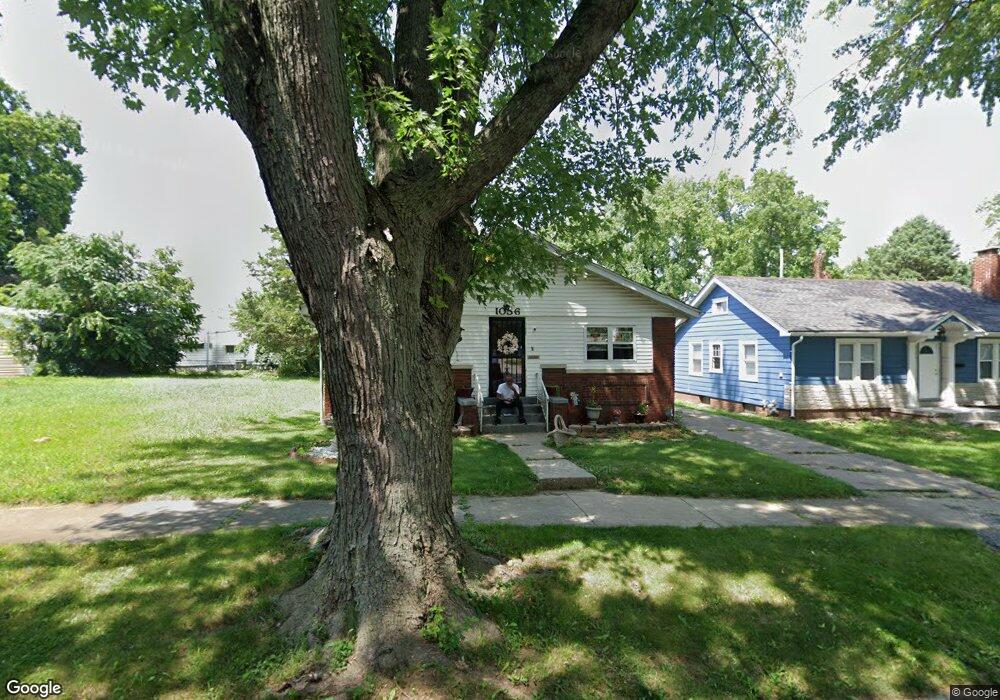
1056 W Packard St Decatur, IL 62522
Garfield Park NeighborhoodEstimated Value: $44,000 - $63,000
5
Beds
2
Baths
1,200
Sq Ft
$45/Sq Ft
Est. Value
About This Home
This home is located at 1056 W Packard St, Decatur, IL 62522 and is currently estimated at $54,163, approximately $45 per square foot. 1056 W Packard St is a home located in Macon County with nearby schools including Stephen Decatur Middle School, St. Patrick School, and Teen Challenge-Home For Girls.
Ownership History
Date
Name
Owned For
Owner Type
Purchase Details
Closed on
Nov 13, 2009
Sold by
Hickory Point Bank
Bought by
Smith Alice B
Current Estimated Value
Home Financials for this Owner
Home Financials are based on the most recent Mortgage that was taken out on this home.
Original Mortgage
$34,366
Interest Rate
4.96%
Mortgage Type
FHA
Create a Home Valuation Report for This Property
The Home Valuation Report is an in-depth analysis detailing your home's value as well as a comparison with similar homes in the area
Home Values in the Area
Average Home Value in this Area
Purchase History
| Date | Buyer | Sale Price | Title Company |
|---|---|---|---|
| Smith Alice B | $35,000 | None Available |
Source: Public Records
Mortgage History
| Date | Status | Borrower | Loan Amount |
|---|---|---|---|
| Closed | Smith Alice B | $34,366 |
Source: Public Records
Tax History Compared to Growth
Tax History
| Year | Tax Paid | Tax Assessment Tax Assessment Total Assessment is a certain percentage of the fair market value that is determined by local assessors to be the total taxable value of land and additions on the property. | Land | Improvement |
|---|---|---|---|---|
| 2024 | $704 | $12,276 | $437 | $11,839 |
| 2023 | $724 | $11,842 | $422 | $11,420 |
| 2022 | $744 | $11,173 | $390 | $10,783 |
| 2021 | $748 | $10,435 | $365 | $10,070 |
| 2020 | $773 | $9,952 | $349 | $9,603 |
| 2019 | $773 | $9,952 | $349 | $9,603 |
| 2018 | $764 | $10,905 | $199 | $10,706 |
| 2017 | $762 | $11,196 | $204 | $10,992 |
| 2016 | $768 | $11,310 | $206 | $11,104 |
| 2015 | $743 | $11,110 | $202 | $10,908 |
| 2014 | $697 | $11,652 | $222 | $11,430 |
| 2013 | $694 | $12,089 | $230 | $11,859 |
Source: Public Records
Map
Nearby Homes
- 917 N Wilder Ave
- 1065 W Green St
- 837 W Grand Ave
- 1319 W Waggoner St
- 933 W Division St
- 1451 W Marietta St
- 925 W Olive St
- 1653 N Maple Ave
- 1535 N Mcclellan Ave
- 1545 N Monroe St
- 1530 W Cushing St
- 875 N Monroe St
- 1504 N Monroe St
- 1645 W Center St
- 644 W Division St
- 958 W William St
- 1675 W Center St
- 1415 N Dennis Ave
- 415 W Green St
- 844 N Edward St
- 1044 W Packard St
- 1062 W Packard St
- 1076 W Packard St
- 1036 W Packard St
- 1061 W Leafland Ave
- 1059 W Leafland Ave
- 1047 W Leafland Ave
- 1059 W Packard St
- 1086 W Packard St
- 1069 W Packard St
- 1037 W Leafland Ave
- 1073 W Packard St
- 1039 W Packard St
- 1073 W Leafland Ave
- 1028 W Packard St
- 1025 W Leafland Ave
- 1031 W Packard St
- 1020 W Packard St
- 1011 W Leafland Ave
- 1075 W Packard St