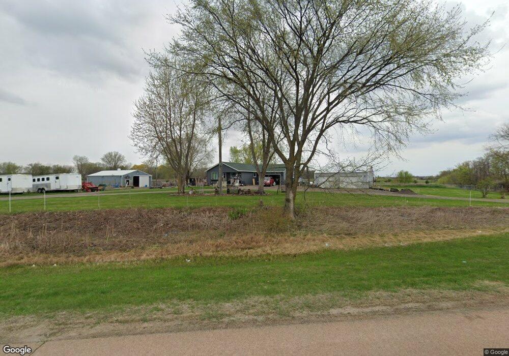
10560 County Road 20 Delano, MN 55328
Estimated Value: $450,000 - $966,000
2
Beds
1
Bath
1,200
Sq Ft
$623/Sq Ft
Est. Value
About This Home
This home is located at 10560 County Road 20, Delano, MN 55328 and is currently estimated at $747,142, approximately $622 per square foot. 10560 County Road 20 is a home located in Carver County with nearby schools including Watertown-Mayer Elementary School, Watertown-Mayer Middle School, and Watertown Mayer High School.
Ownership History
Date
Name
Owned For
Owner Type
Purchase Details
Closed on
Jan 26, 2001
Sold by
Arent Henry L and Arent Carol A
Bought by
Vargo Brian J and Vargo Cheryl A
Current Estimated Value
Create a Home Valuation Report for This Property
The Home Valuation Report is an in-depth analysis detailing your home's value as well as a comparison with similar homes in the area
Home Values in the Area
Average Home Value in this Area
Purchase History
| Date | Buyer | Sale Price | Title Company |
|---|---|---|---|
| Vargo Brian J | $184,171 | -- |
Source: Public Records
Mortgage History
| Date | Status | Borrower | Loan Amount |
|---|---|---|---|
| Closed | Vargo Brian J | -- |
Source: Public Records
Tax History Compared to Growth
Tax History
| Year | Tax Paid | Tax Assessment Tax Assessment Total Assessment is a certain percentage of the fair market value that is determined by local assessors to be the total taxable value of land and additions on the property. | Land | Improvement |
|---|---|---|---|---|
| 2025 | $3,030 | $674,900 | $452,000 | $222,900 |
| 2024 | $2,944 | $657,800 | $434,700 | $223,100 |
| 2023 | $2,676 | $614,500 | $391,100 | $223,400 |
| 2022 | $2,380 | $274,900 | $255,500 | $19,400 |
| 2021 | $2,512 | $270,800 | $251,400 | $19,400 |
| 2020 | $2,570 | $195,300 | $71,000 | $124,300 |
| 2019 | $2,504 | $270,200 | $250,800 | $19,400 |
| 2018 | $2,584 | $460,100 | $318,400 | $141,700 |
| 2017 | $2,658 | $460,300 | $318,400 | $141,900 |
| 2016 | $2,674 | $449,100 | $0 | $0 |
| 2015 | $3,034 | $450,500 | $0 | $0 |
| 2014 | $3,034 | $427,900 | $0 | $0 |
Source: Public Records
Map
Nearby Homes
- 1630 Oxford Ave
- 11540 Eckert Ave SE
- 2325 Kristi Ln
- 4146 115th St SE
- 600 Paul Ave
- 990 Bur Oak Ln
- 823 Poplar Ln
- 570 Linden Ct
- 545 Linden Ct
- 12120 County Road 24
- 1286 Balsam Ln
- 648 Hawthorne Ln
- 678 Hawthorne Ln
- The Calhoun Plan at Forest Hills
- The Rockwell Plan at Forest Hills
- The Stratford Plan at Forest Hills
- The Springfield Plan at Forest Hills
- The Wentworth Plan at Forest Hills
- The Arlington Plan at Forest Hills
- The Linden II Plan at Forest Hills
- XXXX Cr 20
- 10625 County Road 20
- 10680 County Road 20
- 2075 Neal Ave
- 2025 Neal Ave
- 2165 Neal Ave
- 10675 County Road 20
- 1985 Neal Ave
- 1955 Neal Ave
- 1880 Neal Ave
- 10480 County Road 20
- 1885 Neal Ave
- 10825 County Road 20
- xxx Neal Ave
- 10880 County Road 20
- 1980 Neal Ave
- 10875 County Road 20
- 10950 County Road 20
- 1825 Neal Ave
- 10950 County Road 20