10570 10th St NW Annandale, MN 55302
Estimated Value: $610,000 - $1,265,120
3
Beds
1
Bath
1,232
Sq Ft
$761/Sq Ft
Est. Value
About This Home
This home is located at 10570 10th St NW, Annandale, MN 55302 and is currently estimated at $937,560, approximately $761 per square foot. 10570 10th St NW is a home with nearby schools including Annandale Elementary School, Annandale Middle School, and Annandale Senior High School.
Ownership History
Date
Name
Owned For
Owner Type
Purchase Details
Closed on
Oct 7, 2025
Sold by
Smith Carol and Smith Ernest
Bought by
Lang Reese J and Lang Kara J
Current Estimated Value
Home Financials for this Owner
Home Financials are based on the most recent Mortgage that was taken out on this home.
Original Mortgage
$900,000
Outstanding Balance
$900,000
Interest Rate
6.35%
Mortgage Type
Credit Line Revolving
Estimated Equity
$37,560
Create a Home Valuation Report for This Property
The Home Valuation Report is an in-depth analysis detailing your home's value as well as a comparison with similar homes in the area
Home Values in the Area
Average Home Value in this Area
Purchase History
| Date | Buyer | Sale Price | Title Company |
|---|---|---|---|
| Lang Reese J | $1,500,000 | Northland Title |
Source: Public Records
Mortgage History
| Date | Status | Borrower | Loan Amount |
|---|---|---|---|
| Open | Lang Reese J | $900,000 |
Source: Public Records
Tax History Compared to Growth
Tax History
| Year | Tax Paid | Tax Assessment Tax Assessment Total Assessment is a certain percentage of the fair market value that is determined by local assessors to be the total taxable value of land and additions on the property. | Land | Improvement |
|---|---|---|---|---|
| 2025 | $6,572 | $1,198,400 | $1,010,900 | $187,500 |
| 2024 | $5,432 | $1,144,800 | $963,900 | $180,900 |
| 2023 | $5,432 | $1,160,700 | $977,400 | $183,300 |
| 2022 | $5,962 | $892,500 | $712,600 | $179,900 |
| 2021 | $6,024 | $803,600 | $647,700 | $155,900 |
| 2020 | $6,002 | $766,400 | $619,300 | $147,100 |
| 2019 | $5,942 | $578,900 | $0 | $0 |
| 2018 | $5,518 | $155,300 | $0 | $0 |
| 2017 | $3,574 | $702,000 | $0 | $0 |
| 2016 | $3,716 | $0 | $0 | $0 |
| 2015 | $3,760 | $0 | $0 | $0 |
| 2014 | -- | $0 | $0 | $0 |
Source: Public Records
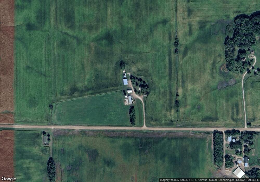
Map
Nearby Homes
- 1794 Lawrence Cir NW
- 12814 County Road 35 W
- 345 County Highway 4 SW
- 431 County Highway 4 SW
- 3990 Moore Ave NW
- xxxx NW County Road 7
- 8752 51st St NW
- XXX Greer Ave NW
- 1060 Greer Ave NW
- 1773 Foley Ave NW
- 7491 County Road 37 NW
- 2945 County Road 4 #411 SW
- 2945 County Road 4 Unit 321 SW
- 2945 County Road 4 #151 SW
- 4642 Gulden Ave NW
- 2945 County Road 4 #119 SW
- 2945 County Road 4 #144 SW
- 2945 County Road 4 SW Unit 426
- 2945 County Road 4 SW Unit 522
- 2945 County Road 4 SW Unit 109
- 10366 10th St NW
- 10565 17th St NW
- 10359 10th St NW
- 1392 County Road 5 NW
- 1262 County Road 5 NW
- 1088 County Road 5 NW
- 1527 Keats Ave NW
- 1793 Knowles Ave NW
- 1805 Knowles Ave NW
- 1789 Knowles Ave NW
- 10122 10th St NW
- 1829 Knowles Ave NW
- 1836 Klever Ave NW
- 1841 Knowles Ave NW
- 1855 Knowles Ave NW
- 1867 Knowles Ave NW
- 1202 Keats Ave NW
- 1885 Knowles Ave NW
- 1897 Knowles Ave NW
- XXXXX 10th St NW