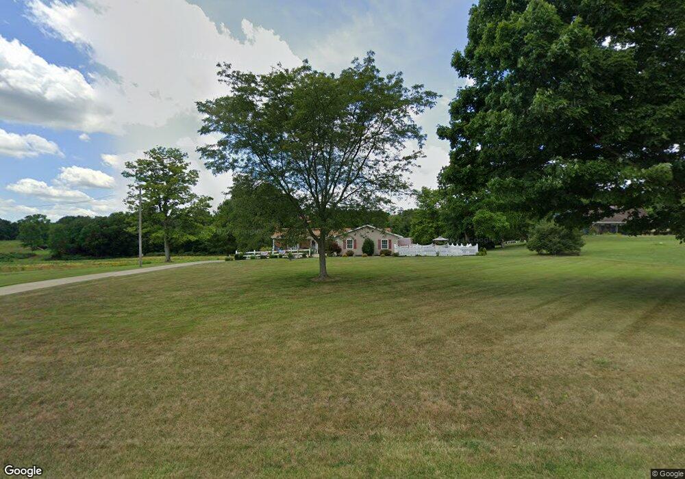
1058 Township Road 553 Ashland, OH 44805
Estimated Value: $244,000 - $309,000
2
Beds
3
Baths
1,680
Sq Ft
$171/Sq Ft
Est. Value
About This Home
This home is located at 1058 Township Road 553, Ashland, OH 44805 and is currently estimated at $287,000, approximately $170 per square foot. 1058 Township Road 553 is a home located in Ashland County with nearby schools including Ashland High School.
Ownership History
Date
Name
Owned For
Owner Type
Purchase Details
Closed on
Dec 13, 2019
Sold by
Burson Pamela J
Bought by
Craig Joshua R and Craig Jenae L
Current Estimated Value
Home Financials for this Owner
Home Financials are based on the most recent Mortgage that was taken out on this home.
Original Mortgage
$120,000
Outstanding Balance
$93,852
Interest Rate
0.31%
Mortgage Type
Construction
Estimated Equity
$193,148
Purchase Details
Closed on
May 20, 2010
Sold by
Richey Raymond Dale and Ada Patricia
Bought by
Richey Raymond Dale and Richey Patricia A
Purchase Details
Closed on
Jan 1, 1990
Bought by
Richey Raymond Dale
Create a Home Valuation Report for This Property
The Home Valuation Report is an in-depth analysis detailing your home's value as well as a comparison with similar homes in the area
Home Values in the Area
Average Home Value in this Area
Purchase History
| Date | Buyer | Sale Price | Title Company |
|---|---|---|---|
| Craig Joshua R | $150,000 | Chicago Title Co | |
| Richey Raymond Dale | -- | -- | |
| Richey Raymond Dale | -- | -- |
Source: Public Records
Mortgage History
| Date | Status | Borrower | Loan Amount |
|---|---|---|---|
| Open | Craig Joshua R | $120,000 |
Source: Public Records
Tax History Compared to Growth
Tax History
| Year | Tax Paid | Tax Assessment Tax Assessment Total Assessment is a certain percentage of the fair market value that is determined by local assessors to be the total taxable value of land and additions on the property. | Land | Improvement |
|---|---|---|---|---|
| 2024 | $2,833 | $77,520 | $13,040 | $64,480 |
| 2023 | $2,833 | $77,520 | $13,040 | $64,480 |
| 2022 | $2,919 | $62,020 | $10,430 | $51,590 |
| 2021 | $2,930 | $62,020 | $10,430 | $51,590 |
| 2020 | $2,785 | $62,020 | $10,430 | $51,590 |
| 2019 | $1,787 | $45,660 | $8,170 | $37,490 |
| 2018 | $1,793 | $45,660 | $8,170 | $37,490 |
| 2017 | $1,868 | $45,660 | $8,170 | $37,490 |
| 2016 | $1,868 | $45,660 | $8,170 | $37,490 |
| 2015 | $1,818 | $45,660 | $8,170 | $37,490 |
| 2013 | $1,990 | $48,330 | $8,150 | $40,180 |
Source: Public Records
Map
Nearby Homes
- 0 Township Road 1275
- 486 Township Road 1275
- 1173 Township Road 753
- 686 County Road 1302
- 885 State Route 58
- 900 County Road 801
- 1346 State Route 89
- 1346 Ohio 89
- 829 County Road 801
- 67 Harold Dr
- 16 Terrace Dr
- 32 Terrace Dr
- 99 Harold Dr
- 95 Harold Dr
- 568 County Road 175
- 3 Terrace Dr
- 164 State Route 302
- 1137 County Road 175
- 945 Virginia Ave
- 999 Township Road 133
- 1054 Township Road 553
- 1050 Township Road 553
- 1080 Township Road 553
- 1084 Township Road 553
- 1024 Township Road 553
- 1091 Township Road 553
- 1033 County Road 601
- 1075 County Road 601
- 1059 County Road 601
- 996 Township Road 553
- 568 Us Highway 42
- 572 U S 42
- 1072 County Road 601
- 531 U S 42
- 1068 County Road 601
- 1012 County Road 601 Unit 2
- 1060 County Road 601
- 510 Us Route 50
- 999 County Road 601
- 577 Us Highway 42