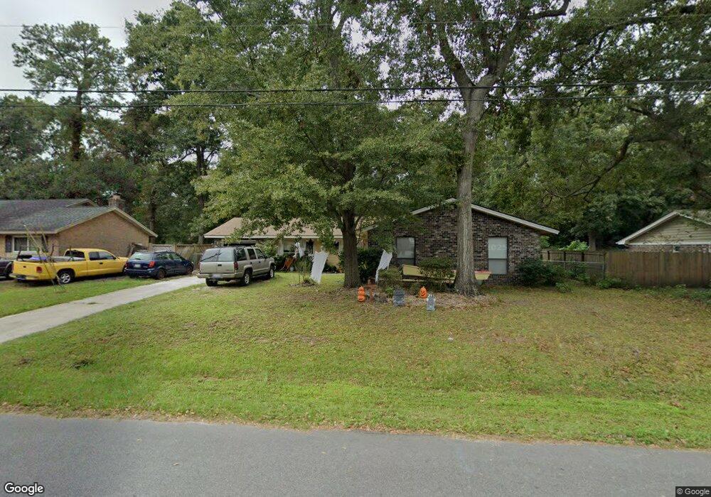
1059 Yorktown Dr Charleston, SC 29412
James Island NeighborhoodEstimated Value: $561,000 - $663,000
3
Beds
2
Baths
1,796
Sq Ft
$340/Sq Ft
Est. Value
About This Home
This home is located at 1059 Yorktown Dr, Charleston, SC 29412 and is currently estimated at $610,831, approximately $340 per square foot. 1059 Yorktown Dr is a home located in Charleston County with nearby schools including James Island Elementary School, Camp Road Middle, and Septima P Clark Corporate Academy.
Ownership History
Date
Name
Owned For
Owner Type
Purchase Details
Closed on
Jul 15, 2020
Sold by
Sloane Family Limited Liability Company
Bought by
Sloane Anita Erskine
Current Estimated Value
Home Financials for this Owner
Home Financials are based on the most recent Mortgage that was taken out on this home.
Original Mortgage
$217,000
Outstanding Balance
$192,421
Interest Rate
3.1%
Mortgage Type
New Conventional
Estimated Equity
$418,410
Purchase Details
Closed on
Jun 20, 2005
Sold by
Sloane Anita E
Bought by
Sloane Family Llc
Purchase Details
Closed on
Apr 23, 2003
Sold by
Federico Thomas J
Bought by
Sloane Anita
Purchase Details
Closed on
Sep 8, 2000
Sold by
Doyle James H and Doyle Cheri P
Bought by
Federico Thomas J
Create a Home Valuation Report for This Property
The Home Valuation Report is an in-depth analysis detailing your home's value as well as a comparison with similar homes in the area
Home Values in the Area
Average Home Value in this Area
Purchase History
| Date | Buyer | Sale Price | Title Company |
|---|---|---|---|
| Sloane Anita Erskine | -- | None Available | |
| Sloane Family Llc | -- | -- | |
| Sloane Anita | $148,400 | -- | |
| Federico Thomas J | $122,000 | -- |
Source: Public Records
Mortgage History
| Date | Status | Borrower | Loan Amount |
|---|---|---|---|
| Open | Sloane Anita Erskine | $217,000 |
Source: Public Records
Tax History Compared to Growth
Tax History
| Year | Tax Paid | Tax Assessment Tax Assessment Total Assessment is a certain percentage of the fair market value that is determined by local assessors to be the total taxable value of land and additions on the property. | Land | Improvement |
|---|---|---|---|---|
| 2024 | $3,848 | $13,800 | $0 | $0 |
| 2023 | $3,848 | $13,800 | $0 | $0 |
| 2022 | $3,511 | $13,800 | $0 | $0 |
| 2021 | $3,495 | $13,800 | $0 | $0 |
| 2020 | $3,422 | $13,800 | $0 | $0 |
| 2019 | $3,174 | $12,000 | $0 | $0 |
| 2017 | $3,108 | $12,000 | $0 | $0 |
| 2016 | $3,005 | $12,000 | $0 | $0 |
| 2015 | $2,876 | $12,000 | $0 | $0 |
| 2014 | $2,600 | $0 | $0 | $0 |
| 2011 | -- | $0 | $0 | $0 |
Source: Public Records
Map
Nearby Homes
- 1056 Yorktown Dr
- 1039 Yorktown Dr
- 0 Turkey Pen Rd Unit 16023532
- 1815 Walsingham Way
- 1047 Bradford Ave
- 1827 S Mayflower Dr
- 1662 Dexter Ln
- 1814 S Mayflower Dr
- 1182 Folly Rd Unit A,B,C,D
- 1152 Bradford Ave
- 1570 Blaze Ln
- 1153 Pauline Ave
- 1291 Apex Ln
- 1206 Folly Rd
- 1262 Apex Ln
- 1030 Pauline Ave
- 1527 Blaze Ln
- 1137 Rivercrest Dr
- 1135 Bellwood Rd
- 1014 Arborwood Dr
- 1055 Yorktown Dr
- 1063 Yorktown Dr
- 1051 Yorktown Dr
- 1067 Yorktown Dr
- 1779 Turkey Pen Rd
- 1064 Yorktown Dr
- 1047 Yorktown Dr
- 1071 Yorktown Dr
- 1745 Turkey Pen Rd
- 1068 Yorktown Dr
- 1048 Yorktown Dr
- 1075 Yorktown Dr
- 1043 Yorktown Dr
- 1072 Yorktown Dr
- 1776 Turkey Pen Rd
- 1821 Aylsford Ct
- 1786 Turkey Pen Rd
- 1785 Turkey Pen Rd
- 1076 Yorktown Dr
- 1079 Yorktown Dr