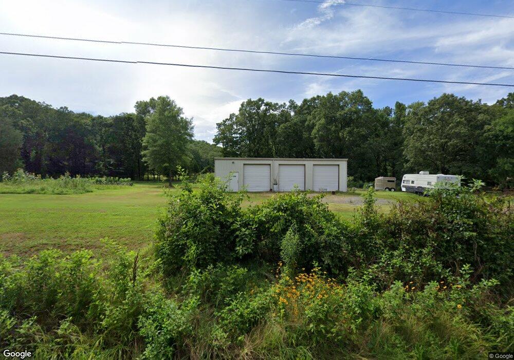
106 Cato Rd Sherwood, AR 72120
Estimated Value: $80,000 - $172,000
--
Bed
1
Bath
1,143
Sq Ft
$117/Sq Ft
Est. Value
About This Home
This home is located at 106 Cato Rd, Sherwood, AR 72120 and is currently estimated at $134,021, approximately $117 per square foot. 106 Cato Rd is a home located in Faulkner County with nearby schools including Cato Elementary School, Sylvan Hills Middle School, and Sylvan Hills High School.
Ownership History
Date
Name
Owned For
Owner Type
Purchase Details
Closed on
Jan 17, 2019
Sold by
Curtis Christopher
Bought by
Curtis Melinda R
Current Estimated Value
Home Financials for this Owner
Home Financials are based on the most recent Mortgage that was taken out on this home.
Original Mortgage
$86,000
Outstanding Balance
$54,927
Interest Rate
4.6%
Mortgage Type
New Conventional
Estimated Equity
$79,094
Purchase Details
Closed on
Apr 13, 2010
Sold by
Copeland Johnny Wesley and Copeland Freda
Bought by
Curtis Christopher and Curtis Melinda
Home Financials for this Owner
Home Financials are based on the most recent Mortgage that was taken out on this home.
Original Mortgage
$98,188
Interest Rate
4.75%
Mortgage Type
FHA
Purchase Details
Closed on
May 23, 1975
Bought by
Copeland Johnny and Copeland Bonnie S
Purchase Details
Closed on
Nov 27, 1968
Bought by
Roy and Billie Webb
Create a Home Valuation Report for This Property
The Home Valuation Report is an in-depth analysis detailing your home's value as well as a comparison with similar homes in the area
Home Values in the Area
Average Home Value in this Area
Purchase History
| Date | Buyer | Sale Price | Title Company |
|---|---|---|---|
| Curtis Melinda R | -- | Waco Title | |
| Curtis Christopher | $100,000 | -- | |
| Copeland Johnny | $4,000 | -- | |
| Roy | -- | -- |
Source: Public Records
Mortgage History
| Date | Status | Borrower | Loan Amount |
|---|---|---|---|
| Open | Curtis Melinda R | $86,000 | |
| Closed | Curtis Christopher | $98,188 |
Source: Public Records
Tax History Compared to Growth
Tax History
| Year | Tax Paid | Tax Assessment Tax Assessment Total Assessment is a certain percentage of the fair market value that is determined by local assessors to be the total taxable value of land and additions on the property. | Land | Improvement |
|---|---|---|---|---|
| 2025 | $919 | $23,540 | $3,000 | $20,540 |
| 2024 | $877 | $23,540 | $3,000 | $20,540 |
| 2023 | $835 | $18,160 | $3,000 | $15,160 |
| 2022 | $474 | $18,160 | $3,000 | $15,160 |
| 2021 | $412 | $18,160 | $3,000 | $15,160 |
| 2020 | $387 | $14,830 | $3,000 | $11,830 |
| 2019 | $387 | $14,830 | $3,000 | $11,830 |
| 2018 | $412 | $14,830 | $3,000 | $11,830 |
| 2017 | $762 | $14,830 | $3,000 | $11,830 |
| 2016 | $762 | $14,830 | $3,000 | $11,830 |
| 2015 | $740 | $15,110 | $3,000 | $12,110 |
| 2014 | $775 | $15,110 | $3,000 | $12,110 |
Source: Public Records
Map
Nearby Homes
- 00 Moon Rd
- 48 Bridge Field Dr
- 41 Bridge Field Dr
- 1 Wesley Trail
- 9604 Sayles Rd
- 00 Melissa Ln
- 11908 Melissa Ln
- 35 Friday Ln
- 7300 Stonehenge Dr
- 7224 Stonehenge Dr
- 00 Sherwood Way
- 7216 Stonehenge Dr
- 20 Forest Glades Cir
- 3015 Angel Ln
- 3019 Angel Ln
- 101 Quail Valley Rd
- 42 Jackson Oaks Dr
- 3024 Miracle Heights Cove
- 10979 Old Tom Box Rd
- 10775 Old Tom Box Rd
