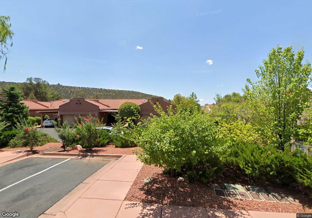
106 Jasmine Ct Sedona, AZ 86336
Estimated Value: $507,958 - $566,000
2
Beds
2
Baths
1,161
Sq Ft
$459/Sq Ft
Est. Value
About This Home
This home is located at 106 Jasmine Ct, Sedona, AZ 86336 and is currently estimated at $533,240, approximately $459 per square foot. 106 Jasmine Ct is a home located in Yavapai County with nearby schools including West Sedona Elementary School, Sedona Red Rock Junior/Senior High School, and Sedona Charter School.
Ownership History
Date
Name
Owned For
Owner Type
Purchase Details
Closed on
May 5, 2025
Sold by
Grier James Richard and Grier Sharon Libby
Bought by
Grier Living Trust and Grier
Current Estimated Value
Purchase Details
Closed on
Feb 7, 2002
Sold by
Fojo Maria D
Bought by
Grier James Richard and Grier Sharon Libby
Home Financials for this Owner
Home Financials are based on the most recent Mortgage that was taken out on this home.
Original Mortgage
$100,000
Interest Rate
6.5%
Purchase Details
Closed on
Aug 21, 1997
Sold by
Nepenthe Development Company Llc
Bought by
Fojo Higinio A and Fojo Maria D
Home Financials for this Owner
Home Financials are based on the most recent Mortgage that was taken out on this home.
Original Mortgage
$94,500
Interest Rate
7.16%
Create a Home Valuation Report for This Property
The Home Valuation Report is an in-depth analysis detailing your home's value as well as a comparison with similar homes in the area
Home Values in the Area
Average Home Value in this Area
Purchase History
| Date | Buyer | Sale Price | Title Company |
|---|---|---|---|
| Grier Living Trust | -- | None Listed On Document | |
| Grier James Richard | $198,000 | Transnation Title Insurance | |
| Fojo Higinio A | $146,153 | Transnation Title Insurance |
Source: Public Records
Mortgage History
| Date | Status | Borrower | Loan Amount |
|---|---|---|---|
| Previous Owner | Grier James Richard | $100,000 | |
| Previous Owner | Fojo Higinio A | $94,500 |
Source: Public Records
Tax History Compared to Growth
Tax History
| Year | Tax Paid | Tax Assessment Tax Assessment Total Assessment is a certain percentage of the fair market value that is determined by local assessors to be the total taxable value of land and additions on the property. | Land | Improvement |
|---|---|---|---|---|
| 2026 | $2,493 | -- | -- | -- |
| 2024 | $2,383 | -- | -- | -- |
| 2023 | $2,427 | $36,141 | $3,565 | $32,576 |
| 2022 | $2,383 | $30,024 | $3,371 | $26,653 |
| 2021 | $2,421 | $28,854 | $3,121 | $25,733 |
| 2020 | $2,421 | $0 | $0 | $0 |
| 2019 | $2,398 | $0 | $0 | $0 |
| 2018 | $2,289 | $0 | $0 | $0 |
| 2017 | $2,227 | $0 | $0 | $0 |
| 2016 | $2,198 | $0 | $0 | $0 |
| 2015 | -- | $0 | $0 | $0 |
| 2014 | -- | $0 | $0 | $0 |
Source: Public Records
Map
Nearby Homes
- 104 Jasmine Ct
- 25 Bird Ln
- 186 Columbine Ct
- 99 Morning Sun Dr Unit 50
- 205 Sunset Dr Unit 159
- 205 Sunset Dr Unit 108
- 205 Sunset Dr Unit 26
- 205 Sunset Dr Unit 78
- 205 Sunset Dr Unit 187
- 2035 Whippet Way
- 89 Morning Sun Dr Unit 55
- 250 Sunset Dr Unit 28
- 46 Morning Sun Dr Unit 8
- 40 Morning Sun Dr
- 2272 Roadrunner Rd
- 15 Bonita Ln
- 2305 Roadrunner Rd
- 12 Tanager Ln
- 90 Hilltop Rd Unit 29
- 2155 W State Route 89a Unit 109