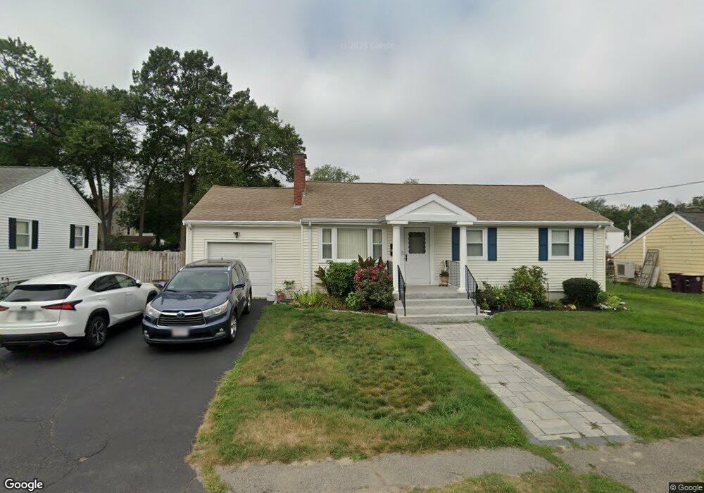
106 Knollwood Cir Weymouth, MA 02188
Weymouth Landing NeighborhoodEstimated Value: $594,000 - $667,000
--
Bed
1
Bath
1,512
Sq Ft
$415/Sq Ft
Est. Value
About This Home
This home is located at 106 Knollwood Cir, Weymouth, MA 02188 and is currently estimated at $627,737, approximately $415 per square foot. 106 Knollwood Cir is a home located in Norfolk County with nearby schools including Frederick C Murphy, Abigail Adams Middle School, and Weymouth Middle School Chapman.
Ownership History
Date
Name
Owned For
Owner Type
Purchase Details
Closed on
Aug 28, 1998
Sold by
Cordani Marie A
Bought by
Benigni Anna M
Current Estimated Value
Home Financials for this Owner
Home Financials are based on the most recent Mortgage that was taken out on this home.
Original Mortgage
$124,000
Outstanding Balance
$26,488
Interest Rate
6.9%
Mortgage Type
Purchase Money Mortgage
Estimated Equity
$601,249
Create a Home Valuation Report for This Property
The Home Valuation Report is an in-depth analysis detailing your home's value as well as a comparison with similar homes in the area
Home Values in the Area
Average Home Value in this Area
Purchase History
| Date | Buyer | Sale Price | Title Company |
|---|---|---|---|
| Benigni Anna M | $155,000 | -- |
Source: Public Records
Mortgage History
| Date | Status | Borrower | Loan Amount |
|---|---|---|---|
| Open | Benigni Anna M | $29,000 | |
| Open | Benigni Anna M | $124,000 |
Source: Public Records
Tax History Compared to Growth
Tax History
| Year | Tax Paid | Tax Assessment Tax Assessment Total Assessment is a certain percentage of the fair market value that is determined by local assessors to be the total taxable value of land and additions on the property. | Land | Improvement |
|---|---|---|---|---|
| 2025 | $5,649 | $559,300 | $221,300 | $338,000 |
| 2024 | $5,531 | $538,600 | $210,800 | $327,800 |
| 2023 | $5,269 | $504,200 | $195,200 | $309,000 |
| 2022 | $5,179 | $451,900 | $180,700 | $271,200 |
| 2021 | $4,691 | $399,600 | $180,700 | $218,900 |
| 2020 | $4,547 | $381,500 | $180,700 | $200,800 |
| 2019 | $4,129 | $340,700 | $173,800 | $166,900 |
| 2018 | $4,036 | $322,900 | $165,500 | $157,400 |
| 2017 | $3,974 | $310,200 | $157,600 | $152,600 |
| 2016 | $3,884 | $303,400 | $151,600 | $151,800 |
| 2015 | $3,707 | $287,400 | $144,700 | $142,700 |
| 2014 | $3,679 | $276,600 | $134,600 | $142,000 |
Source: Public Records
Map
Nearby Homes
- 76 Kingman St
- 33 Congress St
- 24 Blake Rd
- 16 Lindbergh Ave
- 15 Summer St
- 23-25 Lindbergh Ave
- 19 Vine St Unit 3
- 19 Vine St Unit 1
- 114 Broad St Unit D
- 114 Broad St Unit C
- 11 Richmond St
- 122 Washington St Unit 22
- 36 Brookside Rd
- 286 Broad St
- 37 Lantern Ln
- 12 Klasson Ln
- 51 Faxon St
- 286 Essex St
- 141 Commercial St Unit 9
- 42 Sundin Rd
- 100 Knollwood Cir
- 112 Knollwood Cir
- 41 Kingman St
- 4 Knollwood Cir
- 47 Kingman St
- 105 Knollwood Cir
- 99 Knollwood Cir
- 94 Knollwood Cir
- 12 Knollwood Cir
- 118 Knollwood Cir
- 93 Knollwood Cir
- 53 Kingman St
- 111 Knollwood Cir
- 20 Knollwood Cir
- 88 Knollwood Cir
- 89 Knollwood Cir
- 124 Knollwood Cir
- 117 Knollwood Cir
- 57 Kingman St
- 26 Knollwood Cir