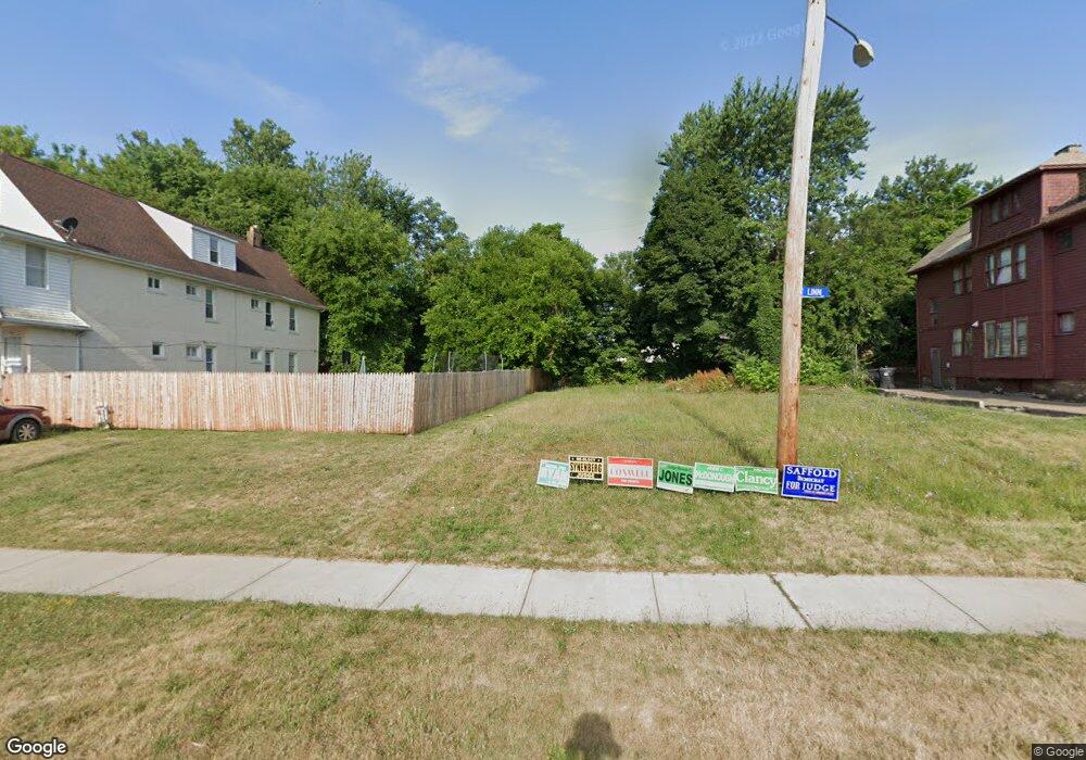
1060 Linn Dr Cleveland, OH 44108
Glenville NeighborhoodEstimated Value: $85,000
4
Beds
2
Baths
2,325
Sq Ft
$37/Sq Ft
Est. Value
About This Home
This home is located at 1060 Linn Dr, Cleveland, OH 44108 and is currently priced at $85,000, approximately $36 per square foot. 1060 Linn Dr is a home located in Cuyahoga County with nearby schools including Bolton, Anton Grdina School, and Andrew J. Rickoff School.
Ownership History
Date
Name
Owned For
Owner Type
Purchase Details
Closed on
Mar 24, 2021
Sold by
Cuyahoga County Aldn Reutilization Corp
Bought by
City Of Cleveland Reutilization Program
Current Estimated Value
Purchase Details
Closed on
Nov 19, 2016
Sold by
Mckinnon Joe C
Bought by
Cuyahoga County Land Reutilization Corpo
Purchase Details
Closed on
Mar 2, 1978
Bought by
Mckinnon Joe C
Purchase Details
Closed on
Mar 21, 1977
Bought by
Admn Veterans Affairs
Purchase Details
Closed on
Jan 1, 1975
Bought by
Mckinnon Joe C
Create a Home Valuation Report for This Property
The Home Valuation Report is an in-depth analysis detailing your home's value as well as a comparison with similar homes in the area
Home Values in the Area
Average Home Value in this Area
Purchase History
| Date | Buyer | Sale Price | Title Company |
|---|---|---|---|
| City Of Cleveland Reutilization Program | -- | None Available | |
| Cuyahoga County Land Reutilization Corpo | -- | None Available | |
| Mckinnon Joe C | -- | -- | |
| Admn Veterans Affairs | -- | -- | |
| Hartzler Mortgage Co | $7,400 | -- | |
| Mckinnon Joe C | -- | -- |
Source: Public Records
Mortgage History
| Date | Status | Borrower | Loan Amount |
|---|---|---|---|
| Closed | Cuyahoga County Land Reutilization Corpo | $0 |
Source: Public Records
Tax History Compared to Growth
Tax History
| Year | Tax Paid | Tax Assessment Tax Assessment Total Assessment is a certain percentage of the fair market value that is determined by local assessors to be the total taxable value of land and additions on the property. | Land | Improvement |
|---|---|---|---|---|
| 2024 | -- | $700 | $700 | -- |
| 2022 | $0 | $525 | $525 | $0 |
| 2021 | $0 | $530 | $530 | $0 |
| 2020 | $0 | $530 | $530 | $0 |
| 2019 | $502 | $0 | $0 | $0 |
| 2018 | $502 | $530 | $530 | $0 |
| 2017 | $0 | $0 | $0 | $0 |
| 2016 | $10,169 | $12,150 | $2,210 | $9,940 |
| 2015 | $10,013 | $12,150 | $2,210 | $9,940 |
| 2014 | $7,933 | $13,480 | $2,450 | $11,030 |
Source: Public Records
Map
Nearby Homes
- 11220 Primrose Ave
- 1130 E 111th St
- 994 Parkwood Dr
- 1144 E 112th St
- 1140 E 113th St
- 10927 Grantwood Ave
- 11603 Thornwood Ave
- 1111 E 114th St
- 11611 Thornwood Ave
- 11212 Greenview Ave
- 11109 Greenview Ave
- 10842 Grantwood Ave
- 11502 Fairport Ave
- 1190 E 112th St
- 10718 Drexel Ave
- 11907 Thornwood Ave
- 11316 Durant Ave
- 10713 Gooding Ave
- 12006 Castlewood Ave
- 11510 Durant Ave
- 1062 Linn Dr
- 1058 Linn Dr
- 1064 Linn Dr
- 1054 Linn Dr
- 1057 Parkwood Dr
- 1053 Parkwood Dr
- 11017 Primrose Ave
- 1065 Parkwood Dr
- 1046 Linn Dr
- 11011 Primrose Ave
- 1045 Parkwood Dr
- 11107 Ada Ave
- 11110 Ada Ave
- 1037 Parkwood Dr
- 11111 Ada Ave
- 11114 Ada Ave
- 11113 Primrose Ave
- 1033 Parkwood Dr
- 11115 Ada Ave
- 1084 E 111th St