10602 Thomas Dr Anaheim, CA 92804
West Anaheim NeighborhoodEstimated Value: $765,000 - $954,000
3
Beds
2
Baths
1,214
Sq Ft
$724/Sq Ft
Est. Value
About This Home
This home is located at 10602 Thomas Dr, Anaheim, CA 92804 and is currently estimated at $878,369, approximately $723 per square foot. 10602 Thomas Dr is a home located in Orange County with nearby schools including Jonas E. Salk Elementary School, Dale Jr High School, and Magnolia High.
Ownership History
Date
Name
Owned For
Owner Type
Purchase Details
Closed on
Jul 17, 2003
Sold by
Farrell Marie R
Bought by
Tunby Tony M
Current Estimated Value
Home Financials for this Owner
Home Financials are based on the most recent Mortgage that was taken out on this home.
Original Mortgage
$238,500
Outstanding Balance
$103,993
Interest Rate
5.6%
Mortgage Type
Stand Alone First
Estimated Equity
$774,376
Create a Home Valuation Report for This Property
The Home Valuation Report is an in-depth analysis detailing your home's value as well as a comparison with similar homes in the area
Home Values in the Area
Average Home Value in this Area
Purchase History
| Date | Buyer | Sale Price | Title Company |
|---|---|---|---|
| Tunby Tony M | $318,000 | Orange Coast Title |
Source: Public Records
Mortgage History
| Date | Status | Borrower | Loan Amount |
|---|---|---|---|
| Open | Tunby Tony M | $238,500 |
Source: Public Records
Tax History Compared to Growth
Tax History
| Year | Tax Paid | Tax Assessment Tax Assessment Total Assessment is a certain percentage of the fair market value that is determined by local assessors to be the total taxable value of land and additions on the property. | Land | Improvement |
|---|---|---|---|---|
| 2025 | $5,229 | $452,121 | $391,013 | $61,108 |
| 2024 | $5,229 | $443,256 | $383,346 | $59,910 |
| 2023 | $5,074 | $434,565 | $375,829 | $58,736 |
| 2022 | $5,014 | $426,045 | $368,460 | $57,585 |
| 2021 | $5,021 | $417,692 | $361,236 | $56,456 |
| 2020 | $4,924 | $413,410 | $357,532 | $55,878 |
| 2019 | $4,804 | $405,304 | $350,521 | $54,783 |
| 2018 | $4,765 | $397,357 | $343,648 | $53,709 |
| 2017 | $4,601 | $389,566 | $336,910 | $52,656 |
| 2016 | $4,589 | $381,928 | $330,304 | $51,624 |
| 2015 | $4,548 | $376,192 | $325,343 | $50,849 |
| 2014 | $4,286 | $362,419 | $315,891 | $46,528 |
Source: Public Records
Map
Nearby Homes
- 10301 Rhiems Rd
- 10301 Antigua St
- 9272 Cerritos Ave
- 1765 S Biscayne Ct
- 9592 Katella Ave
- 9155 Pacific Ave Unit 265
- 1737 S Garden Dr
- 90093 Stacie Ln
- 9881 Aldgate Ave
- 1350 S Ashington Ln
- 9762 Gamble Ave
- 10112 Becca Dr
- 1250 S Brookhurst St Unit 1059
- 1250 S Brookhurst St Unit 2028
- 1250 S Brookhurst St Unit 2080
- 1250 S Brookhurst St
- 1250 S Brookhurst St Unit 2033
- 2533 W Chanticleer Rd
- 9552 Dewey Dr
- 9041 Stacie Ln Unit 12
- 10612 Thomas Dr
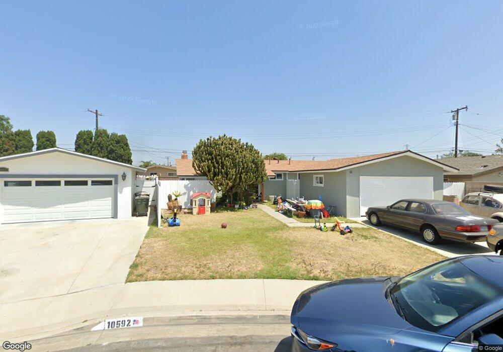
- 10592 Thomas Dr
- 10601 Hedlund Dr
- 10582 Thomas Dr
- 10591 Hedlund Dr
- 10611 Hedlund Dr
- 10622 Thomas Dr
- 10581 Hedlund Dr
- 10621 Hedlund Dr
- 10581 Thomas Dr
- 10632 Thomas Dr
- 10601 Thomas Dr
- 10611 Thomas Dr
- 9682 Harle Ave
- 10591 Thomas Dr
- 9672 Harle Ave
- 9692 Harle Ave
- 10631 Hedlund Dr
- 10621 Thomas Dr
- 9662 Harle Ave