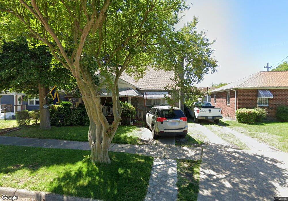
1061 Lindenwood Ave Norfolk, VA 23504
Barraud Park NeighborhoodEstimated Value: $237,004 - $268,000
4
Beds
2
Baths
1,454
Sq Ft
$173/Sq Ft
Est. Value
About This Home
This home is located at 1061 Lindenwood Ave, Norfolk, VA 23504 and is currently estimated at $252,001, approximately $173 per square foot. 1061 Lindenwood Ave is a home located in Norfolk City with nearby schools including Jacox Elementary School, Ruffner Middle School, and Granby High School.
Ownership History
Date
Name
Owned For
Owner Type
Purchase Details
Closed on
May 16, 2007
Sold by
Spencer Turner M and Spencer Gene A
Bought by
Parker Dwayne and Parker Belinda F
Current Estimated Value
Home Financials for this Owner
Home Financials are based on the most recent Mortgage that was taken out on this home.
Original Mortgage
$7,500
Outstanding Balance
$4,577
Interest Rate
6.14%
Mortgage Type
Stand Alone Second
Estimated Equity
$247,424
Create a Home Valuation Report for This Property
The Home Valuation Report is an in-depth analysis detailing your home's value as well as a comparison with similar homes in the area
Home Values in the Area
Average Home Value in this Area
Purchase History
| Date | Buyer | Sale Price | Title Company |
|---|---|---|---|
| Parker Dwayne | $155,000 | None Available |
Source: Public Records
Mortgage History
| Date | Status | Borrower | Loan Amount |
|---|---|---|---|
| Open | Parker Dwayne | $7,500 | |
| Open | Parker Dwayne | $150,350 |
Source: Public Records
Tax History Compared to Growth
Tax History
| Year | Tax Paid | Tax Assessment Tax Assessment Total Assessment is a certain percentage of the fair market value that is determined by local assessors to be the total taxable value of land and additions on the property. | Land | Improvement |
|---|---|---|---|---|
| 2025 | $2,598 | $207,800 | $71,000 | $136,800 |
| 2024 | $2,564 | $205,100 | $71,000 | $134,100 |
| 2023 | $2,481 | $198,500 | $64,500 | $134,000 |
| 2022 | $2,168 | $173,400 | $49,500 | $123,900 |
| 2021 | $1,681 | $134,500 | $33,000 | $101,500 |
| 2020 | $1,644 | $131,500 | $30,000 | $101,500 |
| 2019 | $1,644 | $131,500 | $30,000 | $101,500 |
| 2018 | $1,651 | $132,100 | $30,000 | $102,100 |
| 2017 | $1,495 | $130,000 | $30,000 | $100,000 |
| 2016 | $1,495 | $126,500 | $30,000 | $96,500 |
| 2015 | $1,455 | $126,500 | $30,000 | $96,500 |
| 2014 | $1,455 | $126,500 | $30,000 | $96,500 |
Source: Public Records
Map
Nearby Homes
- 2320 Ruffin St
- 1050 Vista St
- 2408 Masi St
- 2323 Courtney Ave
- 1825 Tidewater Dr
- 1827 Carswell St
- 1815 Tidewater Dr
- 2419 Ludlow St
- 2317 Hanson Ave
- 2418 Hanson Ave
- 2414 Hanson Ave
- 2410 Hanson Ave
- 2406 Hanson Ave
- 1032 Anderson St
- 1814 Bracey St
- 2655 Barre St
- 2415 Maltby Ave
- 2411 Maltby Ave
- 2405 Maltby Ave
- 934 Pollard St
- 1065 Lindenwood Ave
- 1053 Lindenwood Ave
- 2426 Cottage Ave
- 2424 Cottage Ave
- 2435 Carona Ave
- 2429 Carona Ave
- LOT 7 Cottage Ave
- LOT 8 Cottage Ave
- 2427 Carona Ave
- 2420 Cottage Ave
- 2435 Cottage Ave
- 1054 Lindenwood Ave
- 2501 Carona Ave
- 1050 Lindenwood Ave
- 2419 Carona Ave
- 2418 Cottage Ave
- 1047 Lindenwood Ave
- 2425 Cottage Ave
- 1045 Lindenwood Ave
- 2509 Carona Ave