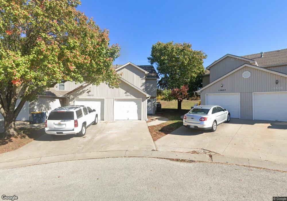
10611 N Locust Ct Kansas City, MO 64155
Nashua NeighborhoodEstimated Value: $181,000 - $246,000
2
Beds
2
Baths
1,296
Sq Ft
$169/Sq Ft
Est. Value
About This Home
This home is located at 10611 N Locust Ct, Kansas City, MO 64155 and is currently estimated at $218,526, approximately $168 per square foot. 10611 N Locust Ct is a home located in Clay County with nearby schools including Fox Hill Elementary School, New Mark Middle School, and Staley High School.
Ownership History
Date
Name
Owned For
Owner Type
Purchase Details
Closed on
Jan 14, 2020
Sold by
Beebe Dwight and Beebe Michelle
Bought by
10611 North Locust Court Llc
Current Estimated Value
Purchase Details
Closed on
Jul 25, 2011
Sold by
Patriot Resources Llc
Bought by
Beebe Dwight and Beebe Michelle
Home Financials for this Owner
Home Financials are based on the most recent Mortgage that was taken out on this home.
Original Mortgage
$164,500
Interest Rate
4.52%
Mortgage Type
New Conventional
Create a Home Valuation Report for This Property
The Home Valuation Report is an in-depth analysis detailing your home's value as well as a comparison with similar homes in the area
Home Values in the Area
Average Home Value in this Area
Purchase History
| Date | Buyer | Sale Price | Title Company |
|---|---|---|---|
| 10611 North Locust Court Llc | -- | None Available | |
| Beebe Dwight | -- | Service Link |
Source: Public Records
Mortgage History
| Date | Status | Borrower | Loan Amount |
|---|---|---|---|
| Previous Owner | Beebe Dwight | $164,500 |
Source: Public Records
Tax History Compared to Growth
Tax History
| Year | Tax Paid | Tax Assessment Tax Assessment Total Assessment is a certain percentage of the fair market value that is determined by local assessors to be the total taxable value of land and additions on the property. | Land | Improvement |
|---|---|---|---|---|
| 2025 | $1,726 | $24,620 | -- | -- |
| 2024 | $1,726 | $21,430 | -- | -- |
| 2023 | $1,711 | $21,430 | $0 | $0 |
| 2022 | $1,454 | $17,400 | $0 | $0 |
| 2021 | $1,455 | $17,404 | $2,470 | $14,934 |
| 2020 | $1,543 | $17,060 | $0 | $0 |
| 2019 | $1,514 | $17,060 | $0 | $0 |
| 2018 | $1,545 | $16,630 | $0 | $0 |
| 2017 | $1,517 | $16,630 | $2,760 | $13,870 |
| 2016 | $1,517 | $16,630 | $2,760 | $13,870 |
| 2015 | $1,516 | $16,630 | $2,760 | $13,870 |
| 2014 | $1,088 | $11,770 | $2,760 | $9,010 |
Source: Public Records
Map
Nearby Homes
- 10700 N Holmes St
- 10626 N Charlotte St
- 1608 NW 105th St
- 0 N Baltimore Ave Unit HMS2558970
- 1304 NE 105th Terrace
- 11018 N Kenwood Ave
- 13 NE 102nd Terrace
- 10902 N Harrison St
- 11036 N Locust St
- 205 NW 110th St
- 100 NE 111th St
- 11112 N Oak Trafficway
- 10075 N Locust St
- 10222 N Central St
- 11008 N Central St
- 1414 NE 108th St
- 10038 N Locust St
- 522 NW 110th St
- 10119 N Wyandotte St
- 10641 N Jefferson St
- 10613 N Locust Ct
- 10615 N Locust Ct
- 10607 N Locust Ct
- 10617 N Locust Ct
- 10605 N Locust Ct
- 10603 N Locust Ct
- 10631 N Locust - 10637 Ct
- 10621 N Locust Ct
- 10621 N Locust Ct
- 10621 N Locust Ct
- 10601 N Locust Ct
- 10623 N Locust Ct
- 10625 N Locust Ct
- 10600 N Locust Ct
- 10600 N Locust Ct
- 510 NE 106th St
- 10602 N Locust Ct
- 10627 N Locust Ct
- 10604 N Locust Ct
- 10606 N Locust Ct