106232 S Highway 102 McLoud, OK 74851
Midway NeighborhoodEstimated Value: $297,000 - $369,810
4
Beds
2
Baths
1,987
Sq Ft
$173/Sq Ft
Est. Value
About This Home
This home is located at 106232 S Highway 102, McLoud, OK 74851 and is currently estimated at $343,603, approximately $172 per square foot. 106232 S Highway 102 is a home with nearby schools including McLoud Intermediate School, McLoud Elementary School, and McLoud Junior High School.
Ownership History
Date
Name
Owned For
Owner Type
Purchase Details
Closed on
Jan 24, 2003
Sold by
Harvey Ray and Harvey Donna M
Bought by
Harvey, Ray/Donna 2002
Current Estimated Value
Purchase Details
Closed on
Sep 9, 1996
Sold by
Cavener Jr Gerald L and Cavener Carol
Bought by
Harvey Ray and Harvey Donna M
Purchase Details
Closed on
Jan 24, 1986
Sold by
Willard Trust
Bought by
Cavener Gerald L and Cavener Caro
Create a Home Valuation Report for This Property
The Home Valuation Report is an in-depth analysis detailing your home's value as well as a comparison with similar homes in the area
Home Values in the Area
Average Home Value in this Area
Purchase History
| Date | Buyer | Sale Price | Title Company |
|---|---|---|---|
| Harvey, Ray/Donna 2002 | -- | -- | |
| Harvey Ray | $167,500 | -- | |
| Cavener Gerald L | -- | -- |
Source: Public Records
Tax History Compared to Growth
Tax History
| Year | Tax Paid | Tax Assessment Tax Assessment Total Assessment is a certain percentage of the fair market value that is determined by local assessors to be the total taxable value of land and additions on the property. | Land | Improvement |
|---|---|---|---|---|
| 2025 | $2,494 | $30,481 | $6,426 | $24,055 |
| 2024 | $2,494 | $19,351 | $5,651 | $13,700 |
| 2023 | $2,494 | $28,197 | $5,651 | $22,546 |
| 2022 | $1,645 | $19,758 | $3,867 | $15,891 |
| 2021 | $2,098 | $19,182 | $3,252 | $15,930 |
| 2020 | $1,547 | $18,624 | $3,527 | $15,097 |
| 2019 | $1,549 | $18,082 | $3,372 | $14,710 |
| 2018 | $1,598 | $17,555 | $3,391 | $14,164 |
| 2017 | $1,571 | $17,044 | $2,793 | $14,251 |
| 2016 | $1,357 | $16,548 | $2,894 | $13,654 |
| 2015 | $1,333 | $16,066 | $2,826 | $13,240 |
| 2014 | $1,239 | $15,598 | $2,754 | $12,844 |
Source: Public Records
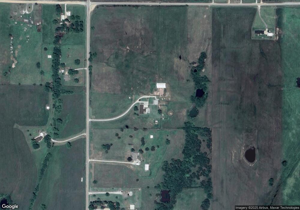
Map
Nearby Homes
- 15961 Prairie Rose Dr
- 29273 Spur Cir
- 15952 Prairie Rose Dr
- 29243 Apache Dr
- 29261 Spur Cir
- 333033 E 1065 Rd
- 333144 E 1066 Dr
- 106411 Happy Trails Rd
- 105802 Parkwood Meadows Dr
- 115 Thornbrue Dr
- 106851 S Paula Jean Dr
- 34325 E 1070 Rd
- 0006 E 1060 Rd
- 0012 E 1060 Rd
- 0014 E 1060 Rd
- 0009 E 1060 Rd
- 0001 E 1060 Rd
- 0007 E 1060 Rd
- 013 E 1060 Rd
- 0004 E 1060 Rd
- 106310 S Highway 102
- 106129 S Highway 102
- 106378 S Highway 102
- 106129 Oklahoma 102
- 106410 Oklahoma 102
- 331955 E 1060 Rd
- 106474 S Highway 102
- 332250 E 1060 Rd
- 331881 E 1060 Rd
- 332352 E 1060 Rd
- 331793 E 1060 Rd
- 332306 E 1060 Rd
- 332629 E 1060 Rd
- 29375 E 1070 Rd
- 331278 E 1060 Rd
- 333014 Palamino Ct
- 333021 E 1060
- 332714 E 1070 Rd
- 333021 Appaloosa Ct
- 333051 Buckskin Ct