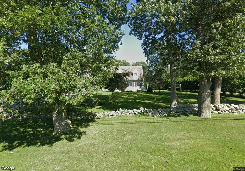
1064 Sodom Rd Westport, MA 02790
Adamsville NeighborhoodEstimated Value: $648,907 - $796,000
4
Beds
--
Bath
1,797
Sq Ft
$389/Sq Ft
Est. Value
About This Home
This home is located at 1064 Sodom Rd, Westport, MA 02790 and is currently estimated at $698,977, approximately $388 per square foot. 1064 Sodom Rd is a home located in Bristol County with nearby schools including Alice A. Macomber Primary School, Westport Elementary School, and Westport Middle-High School.
Ownership History
Date
Name
Owned For
Owner Type
Purchase Details
Closed on
May 20, 2002
Sold by
Hubert Thomas G and Hubert Lisa M
Bought by
Perry Brian J and Cohoon Christine J
Current Estimated Value
Home Financials for this Owner
Home Financials are based on the most recent Mortgage that was taken out on this home.
Original Mortgage
$220,000
Interest Rate
7.15%
Mortgage Type
Purchase Money Mortgage
Purchase Details
Closed on
Aug 27, 1993
Sold by
Wood James W and Wood Joan M
Bought by
Hubert Thomas G and Hubert Lisa M
Create a Home Valuation Report for This Property
The Home Valuation Report is an in-depth analysis detailing your home's value as well as a comparison with similar homes in the area
Home Values in the Area
Average Home Value in this Area
Purchase History
| Date | Buyer | Sale Price | Title Company |
|---|---|---|---|
| Perry Brian J | $275,000 | -- | |
| Hubert Thomas G | $50,000 | -- |
Source: Public Records
Mortgage History
| Date | Status | Borrower | Loan Amount |
|---|---|---|---|
| Open | Hubert Thomas G | $275,000 | |
| Closed | Hubert Thomas G | $263,000 | |
| Closed | Hubert Thomas G | $220,000 |
Source: Public Records
Tax History Compared to Growth
Tax History
| Year | Tax Paid | Tax Assessment Tax Assessment Total Assessment is a certain percentage of the fair market value that is determined by local assessors to be the total taxable value of land and additions on the property. | Land | Improvement |
|---|---|---|---|---|
| 2025 | $3,668 | $492,300 | $180,900 | $311,400 |
| 2024 | $3,653 | $472,600 | $167,700 | $304,900 |
| 2023 | $3,696 | $453,000 | $152,900 | $300,100 |
| 2022 | $3,458 | $407,800 | $152,900 | $254,900 |
| 2021 | $3,396 | $394,000 | $139,100 | $254,900 |
| 2020 | $3,224 | $382,400 | $127,500 | $254,900 |
| 2019 | $3,197 | $386,600 | $127,500 | $259,100 |
| 2018 | $2,486 | $304,300 | $126,500 | $177,800 |
| 2017 | $2,442 | $306,400 | $126,500 | $179,900 |
| 2016 | $2,424 | $306,400 | $126,500 | $179,900 |
| 2015 | $2,338 | $294,800 | $126,500 | $168,300 |
Source: Public Records
Map
Nearby Homes
- 101 Adamsville Rd
- 837 Main Road & Lot 2
- 837 Main Rd
- 8 Village Way
- 15 Village Way
- 7 Village Way
- 17 Quail Trail
- 920 Drift Rd
- 225 Hixbridge Rd
- 1346 Main Rd Unit B
- 978 Sodom Rd
- 8 Strawberry Ln
- 184 Field Stone Ln
- 118 Charlotte White Rd
- 118 Charlotte White Rd Extension
- 0 Hidden Glen Ln
- 116 Amy Hart Path
- 1580 Main Rd
- 90 Two Rod Rd
- 0 S Lake Rd Unit 73361665