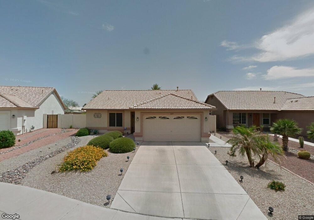
10647 W Irma Ln Peoria, AZ 85382
Estimated Value: $363,763 - $377,000
2
Beds
2
Baths
1,320
Sq Ft
$281/Sq Ft
Est. Value
About This Home
This home is located at 10647 W Irma Ln, Peoria, AZ 85382 and is currently estimated at $370,691, approximately $280 per square foot. 10647 W Irma Ln is a home located in Maricopa County with nearby schools including Parkridge Elementary School, Sunrise Mountain High School, and Candeo Peoria.
Ownership History
Date
Name
Owned For
Owner Type
Purchase Details
Closed on
Apr 3, 2024
Sold by
Jackson Pamela Daphene and Sherrard Pamela D
Bought by
Sherrard Family Trust and Sherrard
Current Estimated Value
Purchase Details
Closed on
Jun 26, 2003
Sold by
Bogrow Howard G and Bogrow Kathleen
Bought by
Jackson Dallas D and Jackson Mabel E
Purchase Details
Closed on
Dec 30, 1999
Sold by
Lennar Homes Of Arizona Inc
Bought by
Bogrow Howard G and Bogrow Kathleen
Home Financials for this Owner
Home Financials are based on the most recent Mortgage that was taken out on this home.
Original Mortgage
$50,000
Interest Rate
7.84%
Mortgage Type
New Conventional
Create a Home Valuation Report for This Property
The Home Valuation Report is an in-depth analysis detailing your home's value as well as a comparison with similar homes in the area
Home Values in the Area
Average Home Value in this Area
Purchase History
| Date | Buyer | Sale Price | Title Company |
|---|---|---|---|
| Sherrard Family Trust | -- | None Listed On Document | |
| Jackson Dallas D | $137,900 | First American Title Ins Co | |
| Bogrow Howard G | $115,247 | North American Title Agency | |
| Lennar Homes Of Arizona Inc | -- | North American Title Agency |
Source: Public Records
Mortgage History
| Date | Status | Borrower | Loan Amount |
|---|---|---|---|
| Previous Owner | Bogrow Howard G | $50,000 |
Source: Public Records
Tax History Compared to Growth
Tax History
| Year | Tax Paid | Tax Assessment Tax Assessment Total Assessment is a certain percentage of the fair market value that is determined by local assessors to be the total taxable value of land and additions on the property. | Land | Improvement |
|---|---|---|---|---|
| 2025 | $1,468 | $18,215 | -- | -- |
| 2024 | $1,440 | $17,348 | -- | -- |
| 2023 | $1,440 | $27,200 | $5,440 | $21,760 |
| 2022 | $1,410 | $21,410 | $4,280 | $17,130 |
| 2021 | $1,501 | $20,350 | $4,070 | $16,280 |
| 2020 | $1,507 | $17,970 | $3,590 | $14,380 |
| 2019 | $1,450 | $16,910 | $3,380 | $13,530 |
| 2018 | $1,395 | $15,930 | $3,180 | $12,750 |
| 2017 | $1,396 | $13,970 | $2,790 | $11,180 |
| 2016 | $1,381 | $13,820 | $2,760 | $11,060 |
| 2015 | $1,289 | $13,000 | $2,600 | $10,400 |
Source: Public Records
Map
Nearby Homes
- 10630 W Mohawk Ln
- 20670 N 105th Dr
- 20769 N 106th Ln
- 10722 W Irma Ln
- 20360 N 106th Ln
- 10728 W Irma Ln
- 10528 W Potter Dr
- 20615 N 105th Ave
- 20957 N 107th Dr
- 10672 W Ross Ave
- 10659 W Yukon Dr
- 10763 W Runion Dr
- 10347 W Mohawk Ln
- 10368 W Ross Ave
- 10344 W Burnett Rd
- 10952 W Tonopah Dr
- 20274 N 104th Ave
- 10379 W Tonopah Dr
- 10816 W Deanna Dr
- 20641 N 110th Ave
- 10641 W Irma Ln
- 10659 W Irma Ln
- 10635 W Irma Ln
- 20720 N 106th Ave
- 20720 N 106th Ave
- 10665 W Irma Ln
- 20709 N 106th Ave
- 10638 W Mohawk Ln
- 10626 W Mohawk Ln
- 20719 N 106th Ln
- 20719 N 106th Ave
- 10622 W Mohawk Ln
- 10646 W Mohawk Ln
- 20660 N 105th Dr
- 20729 N 106th Ln
- 10618 W Mohawk Ln
- 10650 W Mohawk Ln
- 20680 N 105th Dr
- 20740 N 106th Ave
- 20729 N 106th Ave