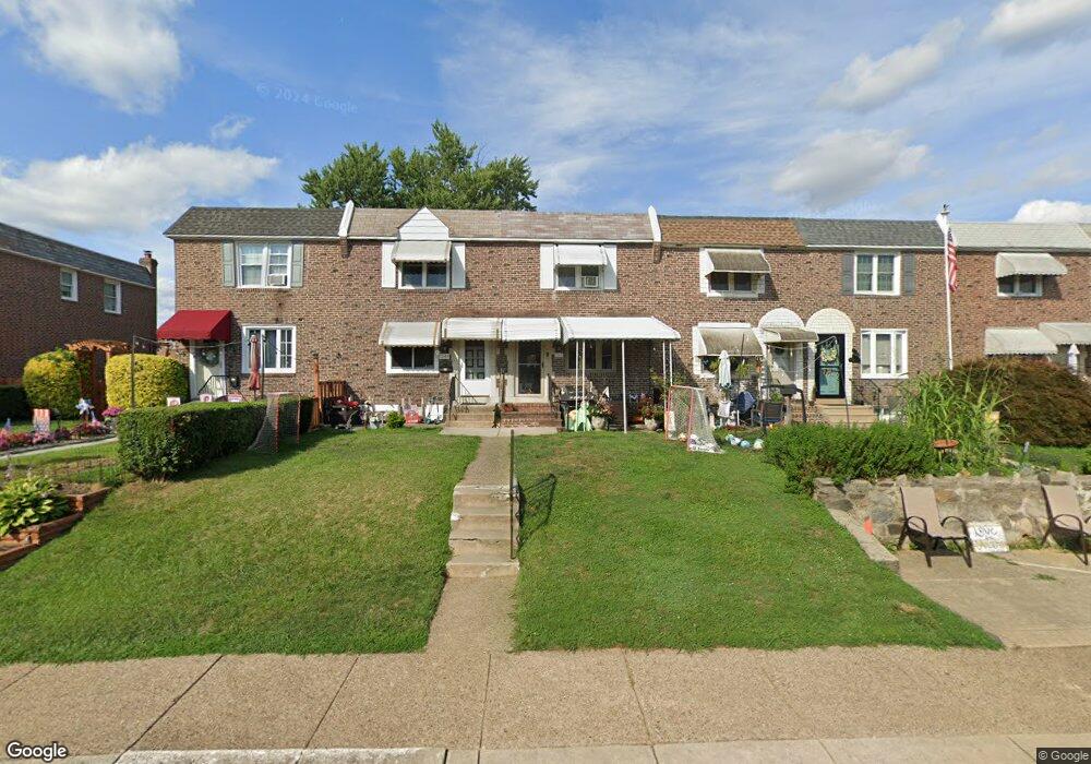
1065 Oakwood Dr Glenolden, PA 19036
Estimated Value: $228,000 - $241,000
3
Beds
2
Baths
1,152
Sq Ft
$202/Sq Ft
Est. Value
About This Home
This home is located at 1065 Oakwood Dr, Glenolden, PA 19036 and is currently estimated at $233,136, approximately $202 per square foot. 1065 Oakwood Dr is a home located in Delaware County with nearby schools including Darby Township School, Academy Park High School, and St Eugene Elementary School.
Ownership History
Date
Name
Owned For
Owner Type
Purchase Details
Closed on
Jul 31, 2009
Sold by
Marciano Frank and Marciano Raffalina
Bought by
Hutton Gordon and Bort Shannon E
Current Estimated Value
Home Financials for this Owner
Home Financials are based on the most recent Mortgage that was taken out on this home.
Original Mortgage
$126,663
Outstanding Balance
$82,501
Interest Rate
5.19%
Mortgage Type
FHA
Estimated Equity
$150,635
Create a Home Valuation Report for This Property
The Home Valuation Report is an in-depth analysis detailing your home's value as well as a comparison with similar homes in the area
Home Values in the Area
Average Home Value in this Area
Purchase History
| Date | Buyer | Sale Price | Title Company |
|---|---|---|---|
| Hutton Gordon | $129,000 | Stewart Title Guaranty Co |
Source: Public Records
Mortgage History
| Date | Status | Borrower | Loan Amount |
|---|---|---|---|
| Open | Hutton Gordon | $126,663 |
Source: Public Records
Tax History Compared to Growth
Tax History
| Year | Tax Paid | Tax Assessment Tax Assessment Total Assessment is a certain percentage of the fair market value that is determined by local assessors to be the total taxable value of land and additions on the property. | Land | Improvement |
|---|---|---|---|---|
| 2025 | $5,174 | $116,740 | $26,130 | $90,610 |
| 2024 | $5,174 | $116,740 | $26,130 | $90,610 |
| 2023 | $4,001 | $116,740 | $26,130 | $90,610 |
| 2022 | $4,943 | $116,740 | $26,130 | $90,610 |
| 2021 | $6,770 | $116,740 | $26,130 | $90,610 |
| 2020 | $4,619 | $72,160 | $22,390 | $49,770 |
| 2019 | $4,400 | $72,160 | $22,390 | $49,770 |
| 2018 | $4,302 | $72,160 | $0 | $0 |
| 2017 | $4,149 | $72,160 | $0 | $0 |
| 2016 | $396 | $72,160 | $0 | $0 |
| 2015 | $404 | $72,160 | $0 | $0 |
| 2014 | $396 | $72,160 | $0 | $0 |
Source: Public Records
Map
Nearby Homes
- 1024 Oakwood Dr
- 900 Maple Ave
- 707 Crescent Dr
- 816 South Ave Unit K1
- 816 South Ave Unit K9
- 814 South Ave Unit J6
- 1012 Brook Ave
- 1114 Wynnbrook Rd
- 821 Lawnton Terrace
- 719 Beech Ave
- 614 S Garfield Ave
- 804 South Ave Unit D7
- 604 Crescent Dr
- 630 Richfield Ave
- 2815 Quaint St
- 653 Rively Ave
- 631 Beech Ave
- 21 Benson Dr
- 662 S Oak Ave
- 618 W South Ave
- 1067 Oakwood Dr
- 1063 Oakwood Dr
- 1061 Oakwood Dr
- 1069 Oakwood Dr
- 1059 Oakwood Dr
- 1071 Oakwood Dr
- 1057 Oakwood Dr
- 1073 Oakwood Dr
- 1055 Oakwood Dr
- 1075 Oakwood Dr
- 1053 Oakwood Dr
- 1064 Cedarwood Rd
- 1066 Cedarwood Rd
- 1077 Oakwood Dr
- 1060 Cedarwood Rd
- 1068 Cedarwood Rd
- 1058 Cedarwood Rd
- 1056 Cedarwood Rd
- 1070 Cedarwood Rd
- 1079 Oakwood Dr