1065 Smoke Rise Dr Unit 4 Hayesville, NC 28904
Estimated Value: $503,000 - $838,000
4
Beds
3
Baths
3,059
Sq Ft
$221/Sq Ft
Est. Value
About This Home
This home is located at 1065 Smoke Rise Dr Unit 4, Hayesville, NC 28904 and is currently estimated at $675,853, approximately $220 per square foot. 1065 Smoke Rise Dr Unit 4 is a home located in Clay County with nearby schools including Hayesville Elementary School, Hayesville Middle School, and Hayesville High School.
Ownership History
Date
Name
Owned For
Owner Type
Purchase Details
Closed on
May 27, 2021
Sold by
Carpenter Roy M and Carpenter Mary Kay
Bought by
Sullivan Laurie
Current Estimated Value
Purchase Details
Closed on
Aug 13, 2020
Sold by
Glock James H and Glock Starleen
Bought by
Carpenter Roy M and Carpenter Mary Kay
Purchase Details
Closed on
Apr 11, 2008
Sold by
Marks Robert E and Marks Mary Ann
Bought by
Glock James H and Glock Starleen
Create a Home Valuation Report for This Property
The Home Valuation Report is an in-depth analysis detailing your home's value as well as a comparison with similar homes in the area
Home Values in the Area
Average Home Value in this Area
Purchase History
| Date | Buyer | Sale Price | Title Company |
|---|---|---|---|
| Sullivan Laurie | $552,500 | None Available | |
| Carpenter Roy M | $470,000 | None Available | |
| Glock James H | $1,100,000 | -- |
Source: Public Records
Tax History Compared to Growth
Tax History
| Year | Tax Paid | Tax Assessment Tax Assessment Total Assessment is a certain percentage of the fair market value that is determined by local assessors to be the total taxable value of land and additions on the property. | Land | Improvement |
|---|---|---|---|---|
| 2025 | $1,622 | $323,900 | $45,000 | $278,900 |
| 2024 | $1,622 | $323,900 | $45,000 | $278,900 |
| 2023 | $1,490 | $323,900 | $45,000 | $278,900 |
| 2022 | $0 | $323,900 | $45,000 | $278,900 |
| 2021 | $1,490 | $323,900 | $45,000 | $278,900 |
| 2020 | $1,490 | $323,900 | $45,000 | $278,900 |
| 2019 | $1,490 | $323,900 | $45,000 | $278,900 |
| 2018 | $1,490 | $323,900 | $45,000 | $278,900 |
| 2016 | -- | $391,647 | $100,000 | $291,647 |
| 2015 | -- | $391,647 | $100,000 | $291,647 |
| 2014 | -- | $391,647 | $100,000 | $291,647 |
Source: Public Records
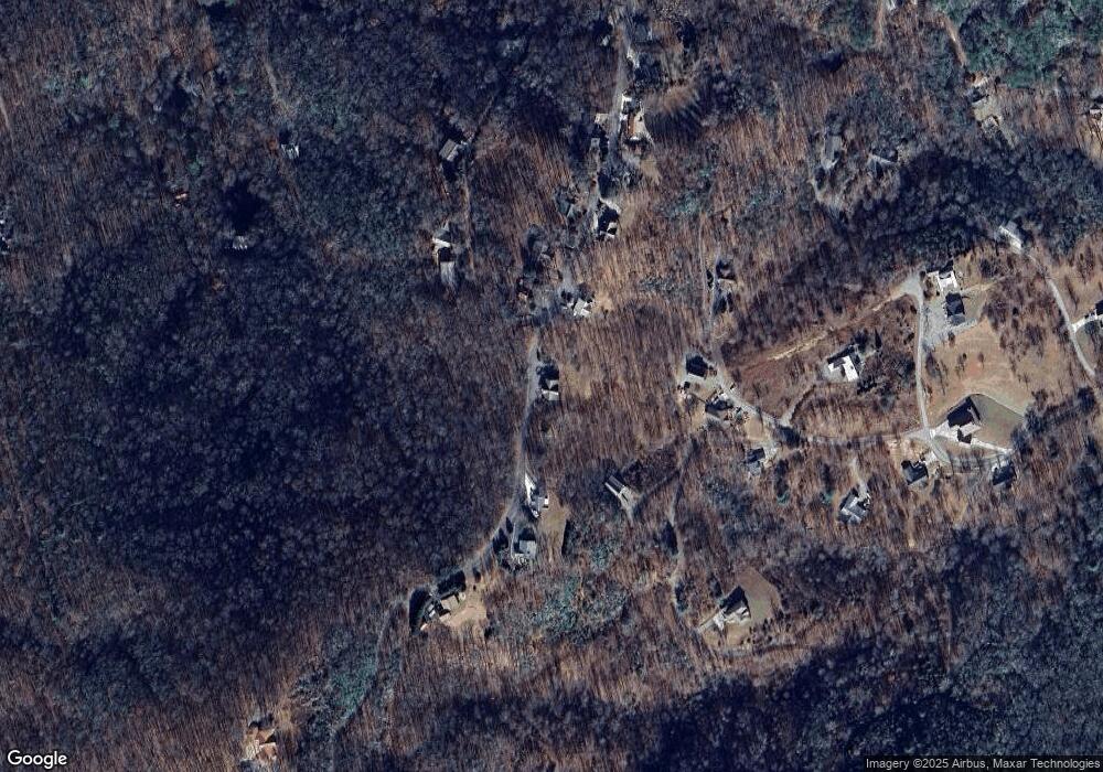
Map
Nearby Homes
- 1014 Smoke Rise Dr
- 7 Lakeview Dr
- 0 2 Pond Ln
- 230 Pinners Point Unit 61
- 230 Pinners Point
- 76 Hollyanne Pond Ln
- LT 10 Longview Ridge
- Lots 7&8 Wikle Rd
- LOT 9 Longview Dr
- 31 Longview Dr
- Lot 26 Longview Dr
- Lot 22B Longview Dr
- Lot 26 Longview Ridge
- 0 Wikle Rd Unit LOTS 7, 8, ADD.
- Lot 20 Skid Strip Ln
- 437 Pine Ridge Dr
- 3.84 AC Matheson Cove Rd
- 308 Black Bear Trail
- 76 Murray Hill Terrace
- Lot 2 Hickory Ridge Cir
- 1065 Smoke Rise Dr
- 1065 Smoke Rise Dr
- 1011 Smoke Rise Dr
- 70 Smokerise Ln
- 1125 Smoke Rise Dr
- 542 Dogwood Ln
- 996 Smoke Rise Dr
- 87 Ridge View Ln
- 554 Dogwood Ln
- 1143 Smoke Rise Dr
- LT 6 Smoke Rise Dr
- #9 Smoke Rise Dr
- #2 Smoke Rise Dr
- #17 Smoke Rise Dr
- #16 Smoke Rise Dr
- #17 Smoke Rise Dr Unit 17
- #16 Smoke Rise Dr Unit 16
- #2 Smoke Rise Dr Unit 2
- #9 Smoke Rise Dr Unit 9
- Lot 15 Smoke Rise Dr