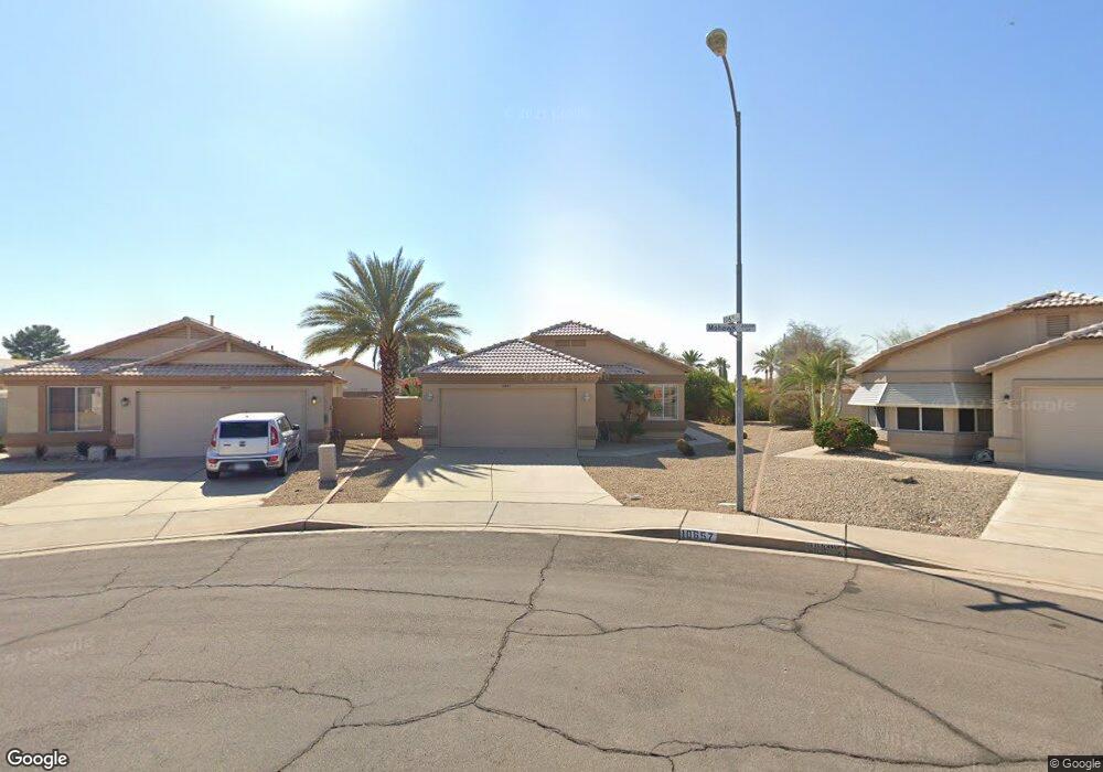
10657 W Mohawk Ln Peoria, AZ 85382
Estimated Value: $367,458 - $400,000
2
Beds
2
Baths
1,685
Sq Ft
$227/Sq Ft
Est. Value
About This Home
This home is located at 10657 W Mohawk Ln, Peoria, AZ 85382 and is currently estimated at $383,115, approximately $227 per square foot. 10657 W Mohawk Ln is a home located in Maricopa County with nearby schools including Parkridge Elementary School, Sunrise Mountain High School, and Candeo Peoria.
Ownership History
Date
Name
Owned For
Owner Type
Purchase Details
Closed on
Feb 9, 2023
Sold by
Hammond Clyde J and Hammond Edeltraud H
Bought by
Hammond Eric J and Hammond Tricia C
Current Estimated Value
Purchase Details
Closed on
Apr 29, 2015
Sold by
Hammond Clyde J and Hammond Edeltraud H
Bought by
Hammond Clyde J and Hammond Edeltraud H
Purchase Details
Closed on
Jun 28, 2011
Sold by
Landis Charles and Landis Joan L
Bought by
Hammond Clyde J and Hammond Edeltraud H
Purchase Details
Closed on
Feb 8, 2002
Sold by
Flake Juanita W
Bought by
Landis Charles and Landis Joan L
Home Financials for this Owner
Home Financials are based on the most recent Mortgage that was taken out on this home.
Original Mortgage
$133,117
Interest Rate
6.84%
Mortgage Type
FHA
Create a Home Valuation Report for This Property
The Home Valuation Report is an in-depth analysis detailing your home's value as well as a comparison with similar homes in the area
Home Values in the Area
Average Home Value in this Area
Purchase History
| Date | Buyer | Sale Price | Title Company |
|---|---|---|---|
| Hammond Eric J | -- | -- | |
| Hammond Clyde J | -- | None Available | |
| Hammond Clyde J | $117,000 | Pioneer Title Agency Inc | |
| Landis Charles | $135,000 | Capital Title Agency |
Source: Public Records
Mortgage History
| Date | Status | Borrower | Loan Amount |
|---|---|---|---|
| Previous Owner | Landis Charles | $133,117 |
Source: Public Records
Tax History Compared to Growth
Tax History
| Year | Tax Paid | Tax Assessment Tax Assessment Total Assessment is a certain percentage of the fair market value that is determined by local assessors to be the total taxable value of land and additions on the property. | Land | Improvement |
|---|---|---|---|---|
| 2025 | $1,612 | $18,643 | -- | -- |
| 2024 | $1,746 | $17,755 | -- | -- |
| 2023 | $1,746 | $28,300 | $5,660 | $22,640 |
| 2022 | $1,712 | $22,260 | $4,450 | $17,810 |
| 2021 | $1,790 | $21,180 | $4,230 | $16,950 |
| 2020 | $1,802 | $18,710 | $3,740 | $14,970 |
| 2019 | $1,750 | $17,700 | $3,540 | $14,160 |
| 2018 | $1,683 | $16,670 | $3,330 | $13,340 |
| 2017 | $1,680 | $14,530 | $2,900 | $11,630 |
| 2016 | $1,659 | $14,280 | $2,850 | $11,430 |
| 2015 | $1,329 | $13,460 | $2,690 | $10,770 |
Source: Public Records
Map
Nearby Homes
- 10630 W Mohawk Ln
- 20360 N 106th Ln
- 20670 N 105th Dr
- 10659 W Yukon Dr
- 10722 W Irma Ln
- 20769 N 106th Ln
- 10728 W Irma Ln
- 20615 N 105th Ave
- 10763 W Runion Dr
- 10528 W Potter Dr
- 20957 N 107th Dr
- 10672 W Ross Ave
- 10347 W Mohawk Ln
- 20274 N 104th Ave
- 10379 W Tonopah Dr
- 10344 W Burnett Rd
- 10952 W Tonopah Dr
- 10368 W Ross Ave
- 20056 N 107th Ln
- 20641 N 110th Ave
- 20604 N 106th Ln
- 10653 W Mohawk Ln
- 10652 W Runion Dr
- 10648 W Runion Dr
- 10649 W Mohawk Ln
- 10656 W Runion Dr
- 20610 N 106th Ln
- 10644 W Runion Dr
- 10645 W Mohawk Ln
- 20616 N 106th Ln
- 10640 W Runion Dr
- 10650 W Mohawk Ln
- 10641 W Mohawk Ln
- 10636 W Runion Dr
- 20622 N 106th Ln
- 10646 W Mohawk Ln
- 20354 N 106th Ln
- 10637 W Mohawk Ln
- 10632 W Runion Dr
- 20349 N 106th Ln