10665 N State Road 267 Brownsburg, IN 46112
Estimated Value: $484,000 - $617,000
4
Beds
3
Baths
3,561
Sq Ft
$160/Sq Ft
Est. Value
About This Home
This home is located at 10665 N State Road 267, Brownsburg, IN 46112 and is currently estimated at $571,100, approximately $160 per square foot. 10665 N State Road 267 is a home located in Hendricks County with nearby schools including Brownsburg East Middle School, Brownsburg High School, and Traders Point Christian Academy.
Ownership History
Date
Name
Owned For
Owner Type
Purchase Details
Closed on
Dec 31, 2004
Sold by
Koch Dorene G
Bought by
West Ronald L and West Patricia M
Current Estimated Value
Home Financials for this Owner
Home Financials are based on the most recent Mortgage that was taken out on this home.
Original Mortgage
$248,000
Outstanding Balance
$126,451
Interest Rate
5.9%
Mortgage Type
New Conventional
Estimated Equity
$444,649
Create a Home Valuation Report for This Property
The Home Valuation Report is an in-depth analysis detailing your home's value as well as a comparison with similar homes in the area
Home Values in the Area
Average Home Value in this Area
Purchase History
| Date | Buyer | Sale Price | Title Company |
|---|---|---|---|
| West Ronald L | -- | Mid America Title Co Inc |
Source: Public Records
Mortgage History
| Date | Status | Borrower | Loan Amount |
|---|---|---|---|
| Open | West Ronald L | $248,000 |
Source: Public Records
Tax History Compared to Growth
Tax History
| Year | Tax Paid | Tax Assessment Tax Assessment Total Assessment is a certain percentage of the fair market value that is determined by local assessors to be the total taxable value of land and additions on the property. | Land | Improvement |
|---|---|---|---|---|
| 2024 | $4,400 | $418,200 | $82,300 | $335,900 |
| 2023 | $4,200 | $395,900 | $74,300 | $321,600 |
| 2022 | $3,934 | $378,400 | $69,700 | $308,700 |
| 2021 | $3,889 | $374,200 | $69,100 | $305,100 |
| 2020 | $3,760 | $361,000 | $69,000 | $292,000 |
| 2019 | $3,603 | $346,500 | $63,400 | $283,100 |
| 2018 | $3,516 | $330,900 | $63,600 | $267,300 |
| 2017 | $3,355 | $314,200 | $61,100 | $253,100 |
| 2016 | $3,328 | $311,100 | $61,400 | $249,700 |
| 2014 | $3,098 | $290,000 | $56,800 | $233,200 |
| 2013 | $3,088 | $289,100 | $55,800 | $233,300 |
Source: Public Records
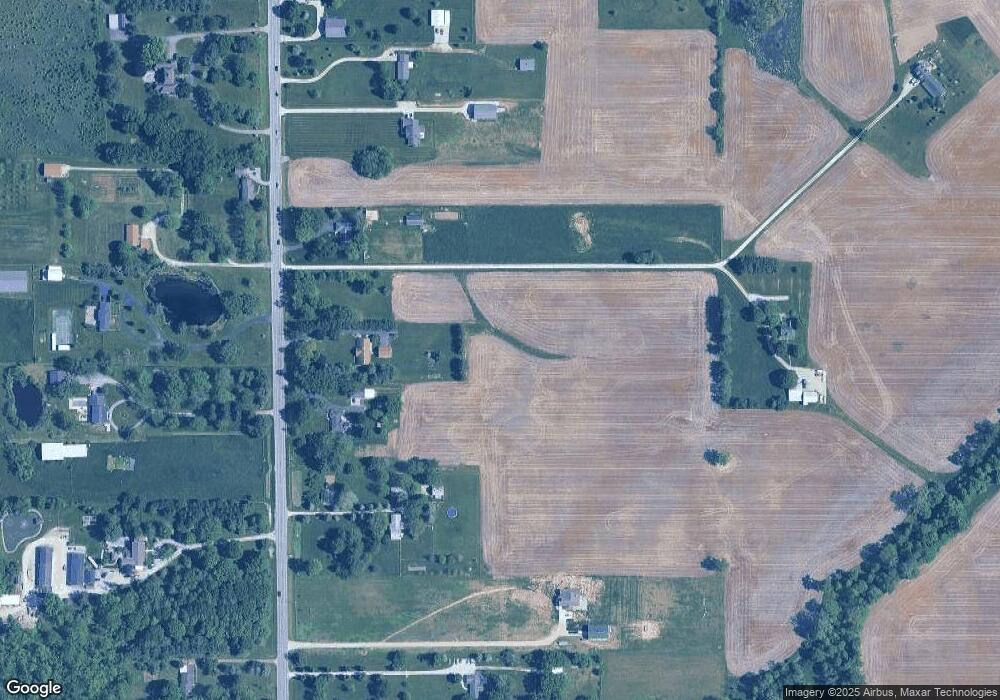
Map
Nearby Homes
- 10496 N State Road 267
- 10705 N State Road 267
- 7310 E County Road 1000 N
- 6872 E County Road 1000 N
- 9758 Nicole Ln
- 9311 Shady Bend
- 4990 E County Road 750 S
- 6801 S 425 E
- 6901 S 425 E
- 9345 N County Road 800 E
- 6825 S 425 E
- 6775 S 475 E
- 6745 S 475 E
- Mercer Plan at Cardinal Pointe - Landings
- Mystique Plan at Cardinal Pointe - Enclave
- Park Place Plan at Cardinal Pointe - Landings
- Newberry Plan at Cardinal Pointe - Landings
- Boardwalk Plan at Cardinal Pointe - Landings
- Prestige Plan at Cardinal Pointe - Enclave
- Palmary Plan at Cardinal Pointe - Enclave
- 10645 N State Road 267
- 10725 N State Road 267
- 10575 N State Road 267
- 10776 N State Road 267
- 10726 N State Road 267
- 10696 N State Road 267
- 10859 N State Road 267
- 10656 Indiana 267
- 10875 N State Road 267
- 10537 N State Road 267
- 10566 N State Road 267
- 10656 N State Road 267
- 10886 N State Road 267
- 10515 N State Road 267
- 10526 N State Road 267
- 10915 Indiana 267
- 10915 N State Road 267
- 10685 N State Road 267
- 10926 N State Road 267
- 10456 Indiana 267