10680 County Road 20 Delano, MN 55328
Estimated Value: $593,000 - $1,223,000
3
Beds
3
Baths
2,323
Sq Ft
$326/Sq Ft
Est. Value
About This Home
This home is located at 10680 County Road 20, Delano, MN 55328 and is currently estimated at $757,573, approximately $326 per square foot. 10680 County Road 20 is a home located in Carver County with nearby schools including Watertown-Mayer Elementary School, Watertown-Mayer Middle School, and Watertown Mayer High School.
Ownership History
Date
Name
Owned For
Owner Type
Purchase Details
Closed on
Mar 22, 2011
Sold by
Federal Home Loan Mortgage Corporation
Bought by
Ryan Adam
Current Estimated Value
Home Financials for this Owner
Home Financials are based on the most recent Mortgage that was taken out on this home.
Original Mortgage
$214,423
Outstanding Balance
$147,884
Interest Rate
4.87%
Mortgage Type
FHA
Estimated Equity
$609,689
Purchase Details
Closed on
Sep 1, 2004
Sold by
Wasser Jonathan D and Wasser Debora K
Bought by
Berke Michael B and Berke Ruth R
Create a Home Valuation Report for This Property
The Home Valuation Report is an in-depth analysis detailing your home's value as well as a comparison with similar homes in the area
Home Values in the Area
Average Home Value in this Area
Purchase History
| Date | Buyer | Sale Price | Title Company |
|---|---|---|---|
| Ryan Adam | $220,000 | -- | |
| Berke Michael B | $352,500 | -- |
Source: Public Records
Mortgage History
| Date | Status | Borrower | Loan Amount |
|---|---|---|---|
| Open | Ryan Adam | $214,423 |
Source: Public Records
Tax History Compared to Growth
Tax History
| Year | Tax Paid | Tax Assessment Tax Assessment Total Assessment is a certain percentage of the fair market value that is determined by local assessors to be the total taxable value of land and additions on the property. | Land | Improvement |
|---|---|---|---|---|
| 2025 | $4,516 | $515,600 | $220,000 | $295,600 |
| 2024 | $4,338 | $511,400 | $215,000 | $296,400 |
| 2023 | $4,104 | $495,200 | $215,000 | $280,200 |
| 2022 | $3,902 | $460,600 | $203,000 | $257,600 |
| 2021 | $3,952 | $361,900 | $157,000 | $204,900 |
| 2020 | $3,946 | $361,900 | $157,000 | $204,900 |
| 2019 | $3,720 | $338,900 | $143,100 | $195,800 |
| 2018 | $3,688 | $338,900 | $143,100 | $195,800 |
| 2017 | $3,848 | $315,800 | $134,500 | $181,300 |
| 2016 | $3,954 | $318,200 | $0 | $0 |
| 2015 | $3,552 | $301,100 | $0 | $0 |
| 2014 | $3,552 | $267,500 | $0 | $0 |
Source: Public Records
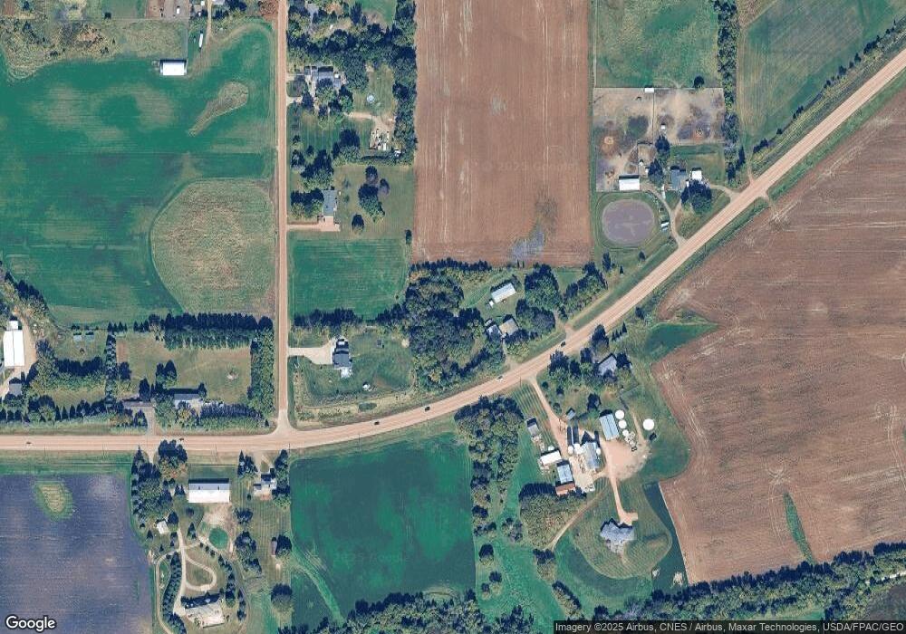
Map
Nearby Homes
- 1630 Oxford Ave
- 2325 Kristi Ln
- 11540 Eckert Ave SE
- 600 Paul Ave
- 4146 115th St SE
- 990 Bur Oak Ln
- 823 Poplar Ln
- 570 Linden Ct
- 545 Linden Ct
- 12120 County Road 24
- 1286 Balsam Ln
- 648 Hawthorne Ln
- 678 Hawthorne Ln
- 613 Hawthorne Ln
- The Calhoun Plan at Forest Hills
- The Rockwell Plan at Forest Hills
- The Stratford Plan at Forest Hills
- The Springfield Plan at Forest Hills
- The Wentworth Plan at Forest Hills
- The Arlington Plan at Forest Hills
- 10625 County Road 20
- XXXX Cr 20
- 2165 Neal Ave
- 10560 County Road 20
- 2075 Neal Ave
- 10675 County Road 20
- 1880 Neal Ave
- 10825 County Road 20
- 2025 Neal Ave
- 10880 County Road 20
- 10875 County Road 20
- 1985 Neal Ave
- xxx Neal Ave
- 10950 County Road 20
- 1955 Neal Ave
- 1980 Neal Ave
- 10950 County Road 20
- 10950 County Road 20
- 10950 County Road 20
- 1885 Neal Ave