107 Dollar Cir Florissant, CO 80816
Estimated Value: $471,272 - $563,000
4
Beds
3
Baths
1,749
Sq Ft
$288/Sq Ft
Est. Value
About This Home
This home is located at 107 Dollar Cir, Florissant, CO 80816 and is currently estimated at $503,068, approximately $287 per square foot. 107 Dollar Cir is a home located in Teller County with nearby schools including Woodland Park Junior/Senior High School, Merit Academy, and Lake George Charter School.
Ownership History
Date
Name
Owned For
Owner Type
Purchase Details
Closed on
Feb 13, 2018
Sold by
Douglas & Melton Trust
Bought by
Phillips Bradley S and Phillips Roxane E
Current Estimated Value
Home Financials for this Owner
Home Financials are based on the most recent Mortgage that was taken out on this home.
Original Mortgage
$259,461
Outstanding Balance
$219,519
Interest Rate
3.95%
Mortgage Type
VA
Estimated Equity
$283,549
Purchase Details
Closed on
Jun 14, 2017
Sold by
Melton Douglas I and Melton Pamela K
Bought by
The Douglas & Pamela K Melton Trust
Create a Home Valuation Report for This Property
The Home Valuation Report is an in-depth analysis detailing your home's value as well as a comparison with similar homes in the area
Home Values in the Area
Average Home Value in this Area
Purchase History
| Date | Buyer | Sale Price | Title Company |
|---|---|---|---|
| Phillips Bradley S | $254,000 | Legacy Title Group | |
| The Douglas & Pamela K Melton Trust | -- | None Available |
Source: Public Records
Mortgage History
| Date | Status | Borrower | Loan Amount |
|---|---|---|---|
| Open | Phillips Bradley S | $259,461 |
Source: Public Records
Tax History Compared to Growth
Tax History
| Year | Tax Paid | Tax Assessment Tax Assessment Total Assessment is a certain percentage of the fair market value that is determined by local assessors to be the total taxable value of land and additions on the property. | Land | Improvement |
|---|---|---|---|---|
| 2024 | $1,624 | $27,990 | $1,818 | $26,172 |
| 2023 | $1,624 | $27,990 | $1,820 | $26,170 |
| 2022 | $1,210 | $21,360 | $1,350 | $20,010 |
| 2021 | $1,251 | $21,980 | $1,390 | $20,590 |
| 2020 | $900 | $16,200 | $1,260 | $14,940 |
| 2019 | $889 | $16,200 | $0 | $0 |
| 2018 | $404 | $7,140 | $0 | $0 |
| 2017 | $405 | $7,140 | $0 | $0 |
| 2016 | $227 | $3,980 | $0 | $0 |
| 2015 | $254 | $3,980 | $0 | $0 |
| 2014 | $391 | $6,040 | $0 | $0 |
Source: Public Records
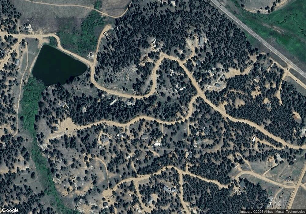
Map
Nearby Homes
- 30 Steven Dr
- 101 Dunlap Dr
- 153 Ingles Dr
- 60 Pickens Rd
- 110 Wallace Dr
- 39 Reed Dr
- 117 Reed Dr
- 86 Wilson Dr
- 76 Bradshaw Rd
- 480 Blue Mountain Dr
- 434 Blue Mountain Dr
- 784 Crestridge Rd
- 382 Blue Mountain Dr
- 584 Pikes Peak Dr
- 187 Circle Dr
- 39858 Highway 24
- 133 Lake Dr
- 201 Lake Dr
- 1110 Pikes Peak Dr
- 39609 Us Highway 24
- 191 Forest Glen Trail
- 71 Dollar Cir
- 780 Forest Glen Trail
- 146 Dollar Cir
- 178 Dollar Cir
- 974 Forest Glen Trail
- 974 Forest Glen Trail
- 108 Dollar Cir
- 758 Forest Glen Trail
- 945 Forest Glen Trail
- 945 Forest Glen Trail
- 200 Dollar Cir
- 46 Dollar Cir
- 329 Freeman Dr
- 891 Forest Glen Trail
- 255 Freeman Dr
- 736 Forest Glen Trail
- 479 Forest Glen Trail
- 355 Freeman Dr
- 218 Dollar Cir