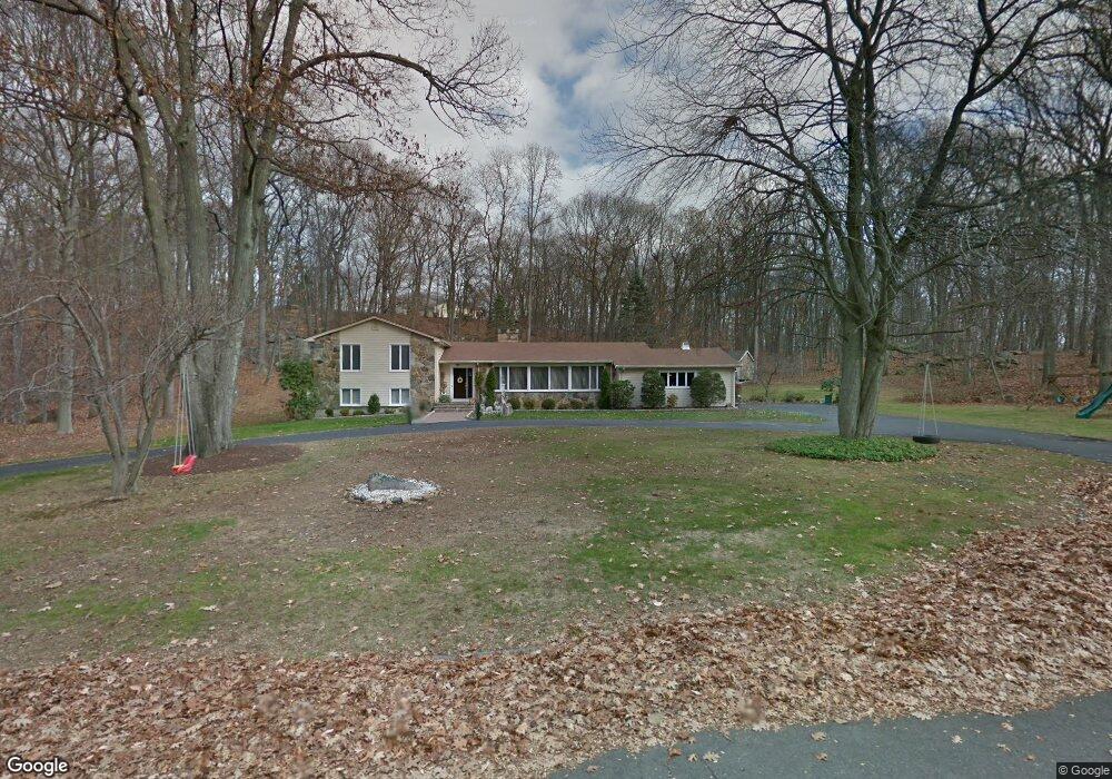
107 Midland Rd Trumbull, CT 06611
Daniel Farm District NeighborhoodEstimated Value: $680,000 - $838,000
3
Beds
4
Baths
2,008
Sq Ft
$378/Sq Ft
Est. Value
About This Home
This home is located at 107 Midland Rd, Trumbull, CT 06611 and is currently estimated at $759,535, approximately $378 per square foot. 107 Midland Rd is a home located in Fairfield County with nearby schools including Daniels Farm School, Hillcrest Middle School, and Trumbull High School.
Ownership History
Date
Name
Owned For
Owner Type
Purchase Details
Closed on
May 14, 2004
Sold by
Lee Moon S and Lee Kyoung H
Bought by
Minella John and Minella Caroline
Current Estimated Value
Home Financials for this Owner
Home Financials are based on the most recent Mortgage that was taken out on this home.
Original Mortgage
$333,700
Interest Rate
5.47%
Purchase Details
Closed on
Mar 16, 1995
Sold by
Gardella Raymond and Gardella Mona
Bought by
Lee Moon S and Lee Kyoung H
Create a Home Valuation Report for This Property
The Home Valuation Report is an in-depth analysis detailing your home's value as well as a comparison with similar homes in the area
Home Values in the Area
Average Home Value in this Area
Purchase History
| Date | Buyer | Sale Price | Title Company |
|---|---|---|---|
| Minella John | $495,000 | -- | |
| Lee Moon S | $290,000 | -- |
Source: Public Records
Mortgage History
| Date | Status | Borrower | Loan Amount |
|---|---|---|---|
| Open | Lee Moon S | $390,700 | |
| Closed | Lee Moon S | $333,700 | |
| Previous Owner | Lee Moon S | $150,000 | |
| Previous Owner | Lee Moon S | $255,000 |
Source: Public Records
Tax History Compared to Growth
Tax History
| Year | Tax Paid | Tax Assessment Tax Assessment Total Assessment is a certain percentage of the fair market value that is determined by local assessors to be the total taxable value of land and additions on the property. | Land | Improvement |
|---|---|---|---|---|
| 2025 | $12,092 | $327,530 | $158,690 | $168,840 |
| 2024 | $11,762 | $327,530 | $158,690 | $168,840 |
| 2023 | $11,572 | $327,530 | $158,690 | $168,840 |
| 2022 | $11,387 | $327,530 | $158,690 | $168,840 |
| 2021 | $19,066 | $283,150 | $144,270 | $138,880 |
| 2020 | $10,151 | $283,150 | $144,270 | $138,880 |
| 2018 | $9,900 | $283,150 | $144,270 | $138,880 |
| 2017 | $9,701 | $283,150 | $144,270 | $138,880 |
| 2016 | $9,505 | $283,150 | $144,270 | $138,880 |
| 2015 | $9,672 | $284,800 | $144,300 | $140,500 |
| 2014 | $8,790 | $264,500 | $144,300 | $120,200 |
Source: Public Records
Map
Nearby Homes
- 50 Hemlock Trail
- 0 Pinewood Trail
- 244 Strobel Rd
- 57 Gray Rock Rd
- 33 Enclave Dr Unit 33
- 11 Laurel St
- 7 Manor Dr
- 58 Daniels Farm Rd
- 0 Lot #4 & Lot #5 W Mischa Rd Unit 24138429
- 121 Paugusett Cir
- Lot 31 Valley View Rd
- 122 Paugusett Cir
- 2449 Huntington Turnpike
- 2428 Huntington Turnpike
- 184 Putting Green Rd
- 8 Moorland Rd
- 1 Village Dr
- 60 Lillian Dr
- 93 Putting Green Rd N
- 17 Rainbow Dr