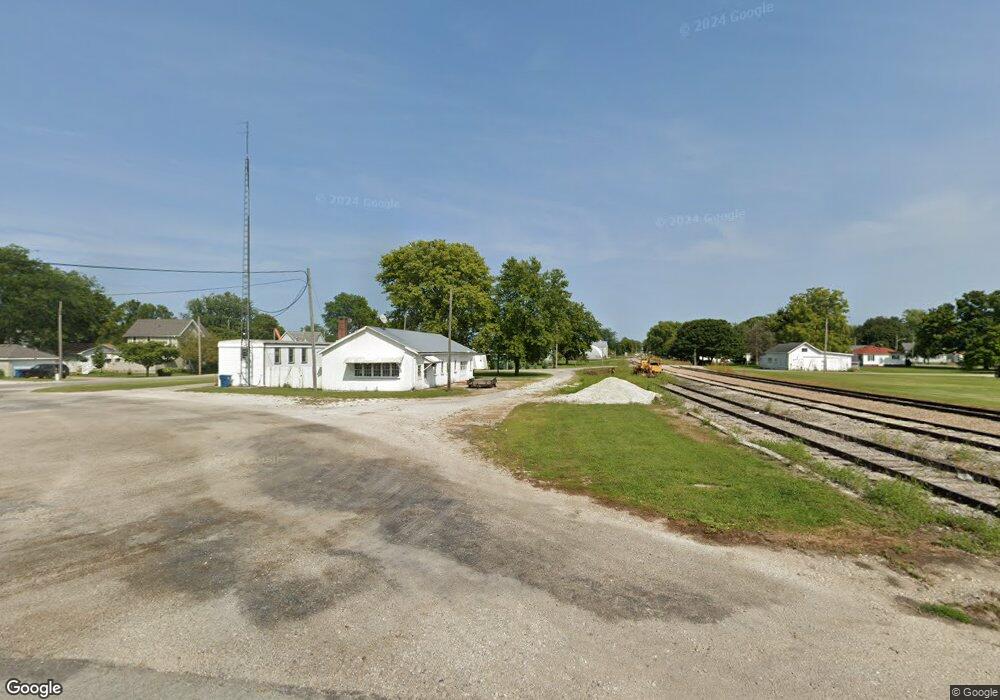
107 N Clinton St Boswell, IN 47921
Estimated Value: $39,000 - $149,000
--
Bed
1
Bath
572
Sq Ft
$155/Sq Ft
Est. Value
About This Home
This home is located at 107 N Clinton St, Boswell, IN 47921 and is currently estimated at $88,477, approximately $154 per square foot. 107 N Clinton St is a home located in Benton County with nearby schools including Benton Central Junior/Senior High School.
Ownership History
Date
Name
Owned For
Owner Type
Purchase Details
Closed on
Jun 17, 2024
Sold by
Grogan Mark A
Bought by
Baker Catherine and Kent Timothy J
Current Estimated Value
Purchase Details
Closed on
Oct 23, 2015
Sold by
Robinson Family Enterprises Ll Robinson Famil
Bought by
Grogan Mark A
Purchase Details
Closed on
Oct 8, 2008
Sold by
Robinson Ralph R
Bought by
Tolen Paul L and Tolen Trent W
Purchase Details
Closed on
Oct 7, 2008
Sold by
Robinson Ralph R and Freeland James B
Bought by
Robinson Family Enterprises Llc
Purchase Details
Closed on
Jul 21, 2006
Sold by
Robinson Ralph R and Freeland James B
Bought by
Robinson Family Llc
Purchase Details
Closed on
May 24, 1996
Sold by
Not Provided
Bought by
Not Provided
Create a Home Valuation Report for This Property
The Home Valuation Report is an in-depth analysis detailing your home's value as well as a comparison with similar homes in the area
Home Values in the Area
Average Home Value in this Area
Purchase History
| Date | Buyer | Sale Price | Title Company |
|---|---|---|---|
| Baker Catherine | $20,000 | None Listed On Document | |
| Grogan Mark A | $9,000 | -- | |
| Tolen Paul L | $55,000 | Dumas Weist And Mahnesmith | |
| Robinson Ralph R | -- | -- | |
| Robinson Family Enterprises Llc | -- | -- | |
| Robinson Family Llc | -- | -- | |
| Not Provided | $30,000 | -- |
Source: Public Records
Tax History Compared to Growth
Tax History
| Year | Tax Paid | Tax Assessment Tax Assessment Total Assessment is a certain percentage of the fair market value that is determined by local assessors to be the total taxable value of land and additions on the property. | Land | Improvement |
|---|---|---|---|---|
| 2024 | $887 | $39,000 | $5,400 | $33,600 |
| 2023 | $557 | $24,300 | $5,400 | $18,900 |
| 2022 | $494 | $21,400 | $5,400 | $16,000 |
| 2021 | $467 | $20,200 | $5,400 | $14,800 |
| 2020 | $415 | $19,300 | $5,400 | $13,900 |
| 2019 | $254 | $12,700 | $5,400 | $7,300 |
| 2018 | $230 | $11,500 | $5,400 | $6,100 |
| 2017 | $220 | $11,000 | $5,400 | $5,600 |
| 2016 | $164 | $8,200 | $5,400 | $2,800 |
| 2014 | $160 | $8,000 | $4,600 | $3,400 |
| 2013 | $160 | $6,600 | $3,800 | $2,800 |
Source: Public Records
Map
Nearby Homes
- lot 20 E North St Unit 20
- 108 S Smith St
- 308 N Center St
- lot 4 N Stokes St Unit 1-20
- 0 N Stokes St Unit 1-20 202530107
- lot 2 N Stokes St Unit 2
- 1024 W State Road 352
- 604 N 5th St
- 102 S Sheets St
- 214 S Howard St
- 113 E Smith St
- 106 N Howard St
- 104 N Howard St
- 403 S Howard St
- 304 E Luin St
- 306 E Quail Dr
- 316 E Pheasant Run
- 1209 E 13th St
- 1003 E 11th St
- 206 S Van Buren Ave
- 104 E North St
- 201 N Clinton St
- 105 S Clinton St
- 107 E North St
- 204 E North St
- 202 E Main St
- 106 S Center St
- 205 E Main St
- 106 S Clinton St
- 204 E Main St
- 107 S Clinton St
- 204 N Center St
- 204 N Clinton St
- 201 E North St
- 107 E Mcknight St W
- 105 S Center St
- 206 E Main St
- 108 S Clinton St
- 207 E Main St
- 206 N Center St