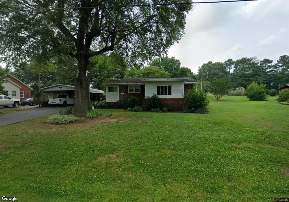
107 Timms St Kings Mountain, NC 28086
Estimated Value: $162,000 - $223,000
2
Beds
1
Bath
898
Sq Ft
$206/Sq Ft
Est. Value
About This Home
This home is located at 107 Timms St, Kings Mountain, NC 28086 and is currently estimated at $185,223, approximately $206 per square foot. 107 Timms St is a home located in Cleveland County with nearby schools including Grover Elementary School, Kings Mountain Middle, and Kings Mountain Intermediate School.
Ownership History
Date
Name
Owned For
Owner Type
Purchase Details
Closed on
May 12, 2017
Sold by
Adams Shirley W and Adams Donald Eugene
Bought by
Suggs Jerry
Current Estimated Value
Home Financials for this Owner
Home Financials are based on the most recent Mortgage that was taken out on this home.
Original Mortgage
$65,656
Outstanding Balance
$54,571
Interest Rate
4.08%
Mortgage Type
New Conventional
Estimated Equity
$130,652
Create a Home Valuation Report for This Property
The Home Valuation Report is an in-depth analysis detailing your home's value as well as a comparison with similar homes in the area
Home Values in the Area
Average Home Value in this Area
Purchase History
| Date | Buyer | Sale Price | Title Company |
|---|---|---|---|
| Suggs Jerry | $65,000 | None Available |
Source: Public Records
Mortgage History
| Date | Status | Borrower | Loan Amount |
|---|---|---|---|
| Open | Suggs Jerry | $65,656 |
Source: Public Records
Tax History Compared to Growth
Tax History
| Year | Tax Paid | Tax Assessment Tax Assessment Total Assessment is a certain percentage of the fair market value that is determined by local assessors to be the total taxable value of land and additions on the property. | Land | Improvement |
|---|---|---|---|---|
| 2025 | $327 | $105,685 | $18,750 | $86,935 |
| 2024 | $308 | $68,723 | $9,375 | $59,348 |
| 2023 | $307 | $68,723 | $9,375 | $59,348 |
| 2022 | $307 | $68,723 | $9,375 | $59,348 |
| 2021 | $307 | $68,723 | $9,375 | $59,348 |
| 2020 | $240 | $50,347 | $8,250 | $42,097 |
| 2019 | $240 | $50,347 | $8,250 | $42,097 |
| 2018 | $465 | $48,986 | $8,250 | $40,736 |
| 2017 | $463 | $48,986 | $8,250 | $40,736 |
| 2016 | $439 | $48,986 | $8,250 | $40,736 |
| 2015 | $474 | $53,504 | $7,500 | $46,004 |
| 2014 | $474 | $53,504 | $7,500 | $46,004 |
Source: Public Records
Map
Nearby Homes
- 610 Margrace Rd
- 419 Brinkley Dr
- 143 Parker Claire Ln
- 137 Parker Claire Ln
- 157 Parker Claire Ln
- 104 Parker Claire Ln
- 207 Parker Claire Ln
- 149 Parker Claire Ln
- 412 Brinkley Dr
- 219 Parker Claire Ln
- 123 Parker Claire Ln
- 0 Southridge Dr Unit CAR4298120
- 112 Fulton Dr
- 231 Brinkley Dr
- 212 Paige Rd
- 230 Paige Rd
- 218 Paige Rd
- Belhaven Plan at Brinkley Ridge
- Freeport Plan at Brinkley Ridge
- Robie Plan at Brinkley Ridge
- 109 Timms St
- 105 Timms St
- 110 Timms St
- 104 Timms St
- 112 Timms St
- 111 Dixon School Rd
- 113 Dixon School Rd
- 115 Dixon School Rd
- 114 Timms St
- 109 Dixon School Rd
- 106 Timms St
- 117 Dixon School Rd
- 112 Urban Dr
- 110 Urban Dr
- 108 Urban Dr
- 114 Urban Dr
- 106 Urban Dr
- 110 Dixon School Rd
- 116 Dixon School Rd
- 1227 S Battleground Ave