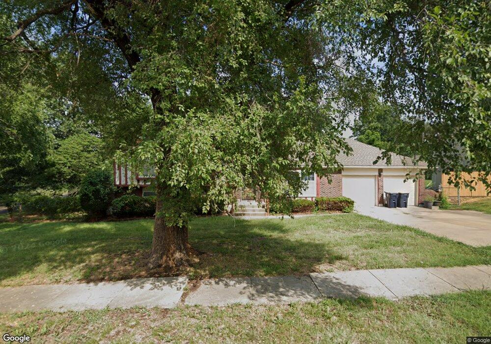
10701 Fuller Ave Kansas City, MO 64134
Stratford Estates NeighborhoodEstimated Value: $225,798 - $285,000
3
Beds
3
Baths
1,518
Sq Ft
$170/Sq Ft
Est. Value
About This Home
This home is located at 10701 Fuller Ave, Kansas City, MO 64134 and is currently estimated at $258,200, approximately $170 per square foot. 10701 Fuller Ave is a home located in Jackson County with nearby schools including Burke Academy and Ruskin High School.
Ownership History
Date
Name
Owned For
Owner Type
Purchase Details
Closed on
Sep 20, 2002
Sold by
King Gerald M and King Sammie R
Bought by
Brown Margaret A
Current Estimated Value
Home Financials for this Owner
Home Financials are based on the most recent Mortgage that was taken out on this home.
Original Mortgage
$138,000
Outstanding Balance
$57,521
Interest Rate
6.21%
Mortgage Type
Purchase Money Mortgage
Estimated Equity
$200,679
Purchase Details
Closed on
Sep 6, 1997
Sold by
Patton Julie B and Patton David
Bought by
King James D and King Gerald W
Create a Home Valuation Report for This Property
The Home Valuation Report is an in-depth analysis detailing your home's value as well as a comparison with similar homes in the area
Home Values in the Area
Average Home Value in this Area
Purchase History
| Date | Buyer | Sale Price | Title Company |
|---|---|---|---|
| Brown Margaret A | -- | Stewart Title | |
| King James D | -- | Old Republic Title |
Source: Public Records
Mortgage History
| Date | Status | Borrower | Loan Amount |
|---|---|---|---|
| Open | Brown Margaret A | $138,000 |
Source: Public Records
Tax History Compared to Growth
Tax History
| Year | Tax Paid | Tax Assessment Tax Assessment Total Assessment is a certain percentage of the fair market value that is determined by local assessors to be the total taxable value of land and additions on the property. | Land | Improvement |
|---|---|---|---|---|
| 2025 | $3,618 | $42,967 | $3,297 | $39,670 |
| 2024 | $3,553 | $41,800 | $7,045 | $34,755 |
| 2023 | $3,553 | $41,800 | $7,045 | $34,755 |
| 2022 | $3,217 | $32,490 | $5,529 | $26,961 |
| 2021 | $2,775 | $32,490 | $5,529 | $26,961 |
| 2020 | $2,667 | $29,511 | $5,529 | $23,982 |
| 2019 | $2,522 | $29,511 | $5,529 | $23,982 |
| 2018 | $1,932 | $21,111 | $3,911 | $17,200 |
| 2017 | $1,932 | $21,111 | $3,911 | $17,200 |
| 2016 | $1,940 | $20,582 | $3,417 | $17,165 |
| 2014 | $1,881 | $20,178 | $3,350 | $16,828 |
Source: Public Records
Map
Nearby Homes
- 10722 Fremont Ave
- 10723 Beacon Ave
- 10800 Ewing Ave
- 6212 E 108th St
- 10904 Newton Ave
- 10914 Bennington Ave
- 10748 Cambridge Ave
- 7123 E 106th Terrace
- 7104 E 107th Place
- 11014 Cambridge Ave
- 6309 E 102nd Terrace
- 11114 Bennington Ave
- 10200 Fremont Ave
- 6302 E 102nd St
- 7504 E 110th St
- 7411 E 110th St
- 10612 Palmer Ave
- 7119 E 111th Terrace
- 11127 Blue Ridge Blvd
- 7200 E 102nd St
- 10705 Fuller Ave
- 10700 Fuller Ave
- 10711 Fuller Ave
- 10702 Bennington Ave
- 10704 Fuller Ave
- 10704 Bennington Ave
- 10715 Fuller Ave
- 10708 Fuller Ave
- 6419 E 107th St
- 10706 Bennington Ave
- 10712 Fuller Ave
- 10721 Fuller Ave
- 10701 Bennington Ave
- 10703 Bennington Ave
- 6411 E 107th St
- 10705 Bennington Ave
- 10708 Bennington Ave
- 10716 Fuller Ave
- 10707 Bennington Ave
- 10727 Fuller Ave