1071 G Ln Big Bear City, CA 92314
Estimated Value: $536,000 - $889,000
5
Beds
2
Baths
4,508
Sq Ft
$151/Sq Ft
Est. Value
About This Home
This home is located at 1071 G Ln, Big Bear City, CA 92314 and is currently estimated at $678,860, approximately $150 per square foot. 1071 G Ln is a home located in San Bernardino County with nearby schools including Baldwin Lane Elementary School, Big Bear Middle School, and Big Bear High School.
Ownership History
Date
Name
Owned For
Owner Type
Purchase Details
Closed on
Oct 4, 1996
Sold by
Hewitt Jerene
Bought by
Cline Mike and Cline Kiyoe
Current Estimated Value
Purchase Details
Closed on
May 30, 1995
Sold by
Thomas Richard E and Thomas Diane G
Bought by
Cline Mike and Cline Kiyoe
Home Financials for this Owner
Home Financials are based on the most recent Mortgage that was taken out on this home.
Original Mortgage
$207,000
Interest Rate
8.01%
Create a Home Valuation Report for This Property
The Home Valuation Report is an in-depth analysis detailing your home's value as well as a comparison with similar homes in the area
Home Values in the Area
Average Home Value in this Area
Purchase History
| Date | Buyer | Sale Price | Title Company |
|---|---|---|---|
| Cline Mike | -- | First American Title Ins Co | |
| Cline Mike | -- | Chicago Title Co |
Source: Public Records
Mortgage History
| Date | Status | Borrower | Loan Amount |
|---|---|---|---|
| Previous Owner | Cline Mike | $207,000 |
Source: Public Records
Tax History Compared to Growth
Tax History
| Year | Tax Paid | Tax Assessment Tax Assessment Total Assessment is a certain percentage of the fair market value that is determined by local assessors to be the total taxable value of land and additions on the property. | Land | Improvement |
|---|---|---|---|---|
| 2025 | $6,438 | $478,418 | $224,268 | $254,150 |
| 2024 | $6,438 | $469,038 | $219,871 | $249,167 |
| 2023 | $6,293 | $459,841 | $215,560 | $244,281 |
| 2022 | $6,106 | $450,824 | $211,333 | $239,491 |
| 2021 | $5,991 | $441,984 | $207,189 | $234,795 |
| 2020 | $6,046 | $437,452 | $205,065 | $232,387 |
| 2019 | $6,011 | $428,874 | $201,044 | $227,830 |
| 2018 | $5,349 | $420,465 | $197,102 | $223,363 |
| 2017 | $5,621 | $412,220 | $193,237 | $218,983 |
| 2016 | $5,475 | $404,137 | $189,448 | $214,689 |
| 2015 | $5,393 | $398,066 | $186,602 | $211,464 |
| 2014 | $5,274 | $390,269 | $182,947 | $207,322 |
Source: Public Records
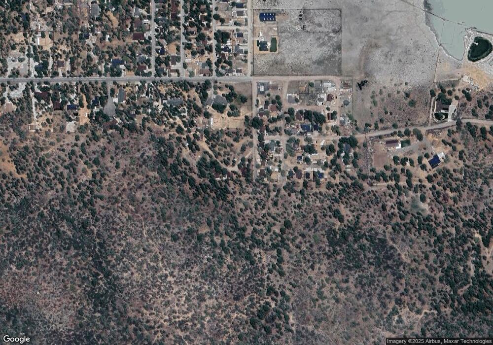
Map
Nearby Homes
- 1063 H Ln
- 2001 State Ln
- 2737 Cedar Ln
- 0 State Ln Unit SR25146675
- 2767 Cedar Ln
- 836 D Ln
- 0 Avenue C Unit SR24250416
- 0 Avenue C Unit 25005046
- 0 Avenue C Unit SR24250475
- 0 Avenue C Unit IV25227877
- 2805 Cedar Ln
- 2809 Cedar Ln
- 820 A Ln
- 929 Ash Ln Unit 15
- 929 Ash Ln
- 901 Ash Ln
- 1064 Pine Ln
- 964 Pine Ln
- 1041 Pine Ln
- 1125 Hemlock Ln