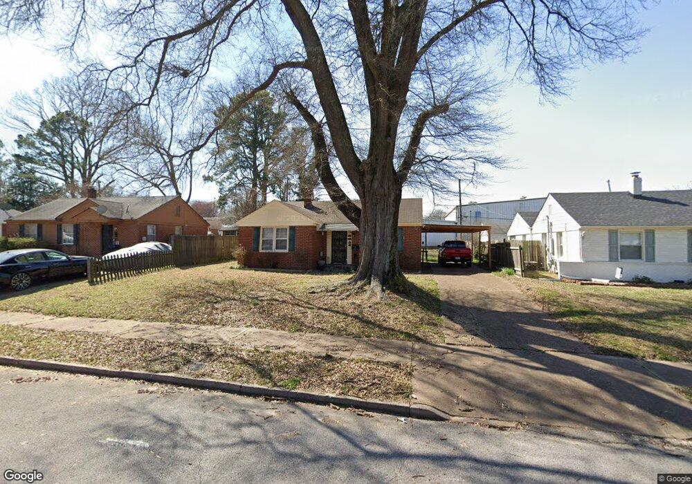
1071 Larry Ln Memphis, TN 38122
Berclair NeighborhoodEstimated Value: $93,000 - $138,000
2
Beds
1
Bath
825
Sq Ft
$133/Sq Ft
Est. Value
About This Home
This home is located at 1071 Larry Ln, Memphis, TN 38122 and is currently estimated at $109,779, approximately $133 per square foot. 1071 Larry Ln is a home located in Shelby County with nearby schools including Berclair Elementary School, Kingsbury High School, and Treadwell Middle School.
Ownership History
Date
Name
Owned For
Owner Type
Purchase Details
Closed on
Jul 21, 1998
Sold by
Hendren Sylvia J
Bought by
Creed Catherine J
Current Estimated Value
Home Financials for this Owner
Home Financials are based on the most recent Mortgage that was taken out on this home.
Original Mortgage
$50,460
Outstanding Balance
$10,344
Interest Rate
7.02%
Mortgage Type
FHA
Estimated Equity
$99,435
Create a Home Valuation Report for This Property
The Home Valuation Report is an in-depth analysis detailing your home's value as well as a comparison with similar homes in the area
Home Values in the Area
Average Home Value in this Area
Purchase History
| Date | Buyer | Sale Price | Title Company |
|---|---|---|---|
| Creed Catherine J | $49,900 | Mid America Title Agency Inc |
Source: Public Records
Mortgage History
| Date | Status | Borrower | Loan Amount |
|---|---|---|---|
| Open | Creed Catherine J | $50,460 | |
| Closed | Creed Catherine J | $2,688 |
Source: Public Records
Tax History Compared to Growth
Tax History
| Year | Tax Paid | Tax Assessment Tax Assessment Total Assessment is a certain percentage of the fair market value that is determined by local assessors to be the total taxable value of land and additions on the property. | Land | Improvement |
|---|---|---|---|---|
| 2025 | $480 | $23,850 | $5,250 | $18,600 |
| 2024 | $480 | $14,150 | $2,975 | $11,175 |
| 2023 | $862 | $14,150 | $2,975 | $11,175 |
| 2022 | $862 | $14,150 | $2,975 | $11,175 |
| 2021 | $792 | $14,150 | $2,975 | $11,175 |
| 2020 | $688 | $9,500 | $2,125 | $7,375 |
| 2019 | $688 | $9,500 | $2,125 | $7,375 |
| 2018 | $688 | $9,500 | $2,125 | $7,375 |
| 2017 | $390 | $9,500 | $2,125 | $7,375 |
| 2016 | $403 | $9,225 | $0 | $0 |
| 2014 | $403 | $9,225 | $0 | $0 |
Source: Public Records
Map
Nearby Homes
- 1105 Stratford Rd
- 994 N Perkins Rd
- 4563 Violet Ave
- 4381 Janice Ave
- 4555 Gailwood Ave
- 4506 Owen Rd
- 995 Avon Rd
- 823 Novarese Ave
- 1048 Avon Rd
- 1224 Wells Station Rd
- 788 Novarese St
- 4285 Fairmont Ave
- 1236 Darlow St
- 982 Giaroli St
- 887 Sumter St
- 822 Eastern Dr
- 4138 Macon Rd
- 4333 Tutwiler Ave
- 1232 Vaughn Rd
- 4124 Given Ave