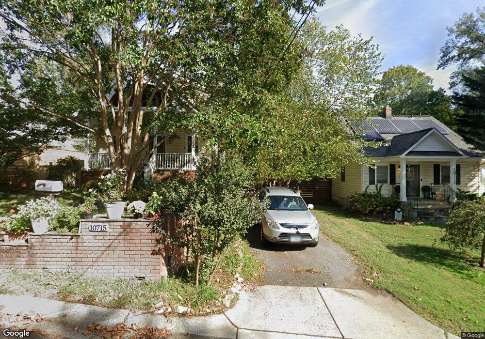
10715 Pearson St Kensington, MD 20895
North Kensington NeighborhoodEstimated Value: $710,000 - $773,000
--
Bed
3
Baths
1,646
Sq Ft
$459/Sq Ft
Est. Value
About This Home
This home is located at 10715 Pearson St, Kensington, MD 20895 and is currently estimated at $755,356, approximately $458 per square foot. 10715 Pearson St is a home located in Montgomery County with nearby schools including Oakland Terrace Elementary School, Lakeview Elementary School, and Newport Mill Middle School.
Ownership History
Date
Name
Owned For
Owner Type
Purchase Details
Closed on
Jan 27, 2005
Sold by
Tarr Banks and Tarr Sharon
Bought by
Vigliotta Noel J and Duin Jennifer M
Current Estimated Value
Home Financials for this Owner
Home Financials are based on the most recent Mortgage that was taken out on this home.
Original Mortgage
$354,000
Outstanding Balance
$170,989
Interest Rate
5%
Mortgage Type
Adjustable Rate Mortgage/ARM
Estimated Equity
$584,367
Purchase Details
Closed on
Jun 30, 2003
Sold by
Langdon Russell A
Bought by
Tarr Banks and Tarr Sharon
Create a Home Valuation Report for This Property
The Home Valuation Report is an in-depth analysis detailing your home's value as well as a comparison with similar homes in the area
Home Values in the Area
Average Home Value in this Area
Purchase History
| Date | Buyer | Sale Price | Title Company |
|---|---|---|---|
| Vigliotta Noel J | $555,000 | -- | |
| Tarr Banks | $241,000 | -- |
Source: Public Records
Mortgage History
| Date | Status | Borrower | Loan Amount |
|---|---|---|---|
| Open | Vigliotta Noel J | $354,000 |
Source: Public Records
Tax History Compared to Growth
Tax History
| Year | Tax Paid | Tax Assessment Tax Assessment Total Assessment is a certain percentage of the fair market value that is determined by local assessors to be the total taxable value of land and additions on the property. | Land | Improvement |
|---|---|---|---|---|
| 2025 | $6,862 | $590,133 | -- | -- |
| 2024 | $6,862 | $532,600 | $263,000 | $269,600 |
| 2023 | $6,125 | $530,633 | $0 | $0 |
| 2022 | $4,261 | $528,667 | $0 | $0 |
| 2021 | $5,707 | $526,700 | $236,900 | $289,800 |
| 2020 | $5,165 | $500,600 | $0 | $0 |
| 2019 | $5,061 | $474,500 | $0 | $0 |
| 2018 | $4,751 | $448,400 | $236,900 | $211,500 |
| 2017 | $4,800 | $442,600 | $0 | $0 |
| 2016 | -- | $436,800 | $0 | $0 |
| 2015 | $4,536 | $431,000 | $0 | $0 |
| 2014 | $4,536 | $431,000 | $0 | $0 |
Source: Public Records
Map
Nearby Homes
- 10802 Stella Ct
- 3014 Jennings Rd
- 3117 Plyers Mill Rd
- 3355 University Blvd W Unit 206
- 3333 University Blvd W Unit 1008
- 10502 Drumm Ave
- 3511 Decatur Ave
- 3600 Decatur Ave
- 3421 University Blvd W Unit 3421-302
- 3419 University Blvd W Unit 102
- 3013 Ferndale St
- 2932 University Blvd W
- 11921 Coronada Place
- 11006 Madison St
- 3603 Plyers Mill Rd
- 3010 Fayette Rd
- 3303 Fayette Rd
- 11214 Midvale Rd
- 3722 Lawrence Ave
- 11209 Midvale Rd
- 10711 Pearson St
- 3120 Mccomas Ave
- 3122 Mccomas Ave
- 10709 Pearson St
- 3116 Mccomas Ave
- 3301 Glenway Dr
- 3114 Mccomas Ave
- 10718 Drumm Ave
- 3200 Mccomas Ave
- 10708 Drumm Ave
- 3302 Glenway Dr
- 3123 Mccomas Ave
- 3125 Mccomas Ave
- 10801 Pearson St
- 3112 Mccomas Ave
- 3307 Glenway Dr
- 10722 Drumm Ave
- 3204 Mccomas Ave
- 3304 Glenway Dr
- 10709 Drumm Ave