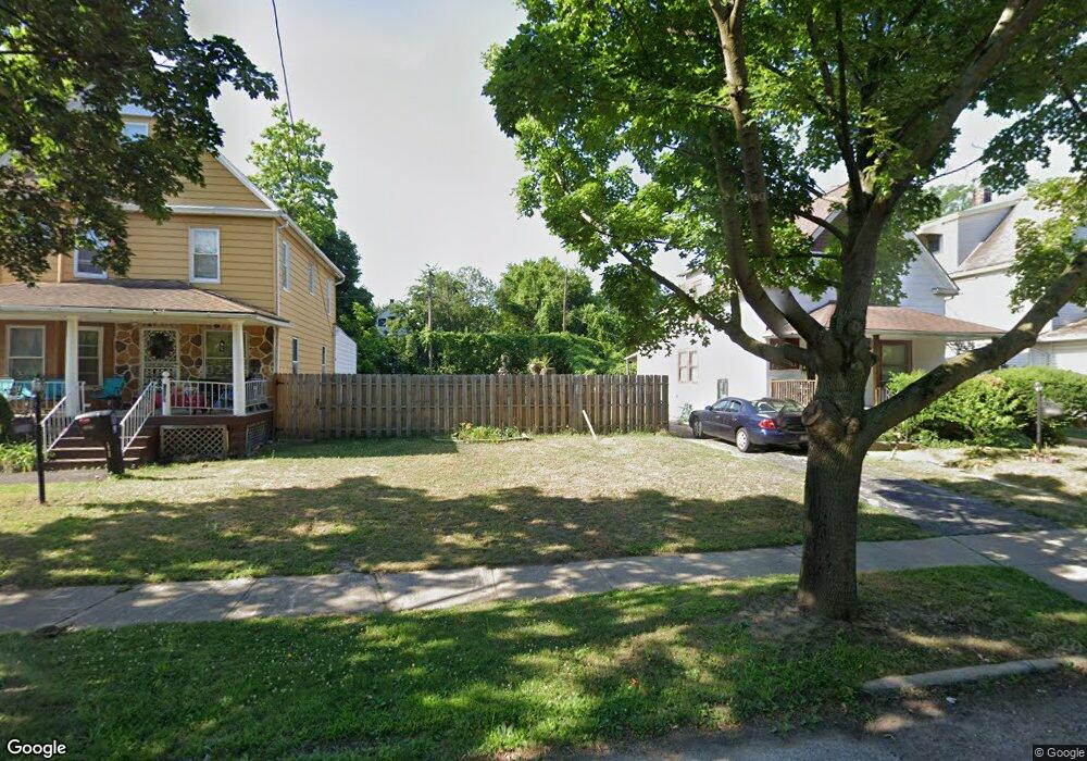
10728 Morison Ave Cleveland, OH 44108
Glenville NeighborhoodEstimated Value: $89,000 - $495,000
5
Beds
2
Baths
1,454
Sq Ft
$170/Sq Ft
Est. Value
About This Home
This home is located at 10728 Morison Ave, Cleveland, OH 44108 and is currently estimated at $247,000, approximately $169 per square foot. 10728 Morison Ave is a home located in Cuyahoga County with nearby schools including Bolton, Anton Grdina School, and Andrew J. Rickoff School.
Ownership History
Date
Name
Owned For
Owner Type
Purchase Details
Closed on
Aug 28, 2019
Sold by
Cuyahoga County Land Reutilization Corp
Bought by
Jackson Peter M and Jackson Asia R
Current Estimated Value
Purchase Details
Closed on
Jul 13, 2018
Sold by
Flyellen Hosea Darlene M
Bought by
Cuyahoga County Land Reutlization Corpor
Purchase Details
Closed on
Feb 10, 2014
Sold by
Hosea Strauther Luke
Bought by
Hosea Darlene M Fluellen
Purchase Details
Closed on
Sep 19, 2008
Sold by
Fannie Mae
Bought by
Hosea Strauther Luke
Purchase Details
Closed on
Aug 27, 2007
Sold by
Younger Mariah H
Bought by
Federal National Mortgage Association
Purchase Details
Closed on
Mar 24, 1993
Sold by
Younger Wm M and Younger Mariah H
Bought by
Younger Mariah H
Purchase Details
Closed on
Jan 1, 1975
Bought by
Younger Wm M and Younger Mariah H
Create a Home Valuation Report for This Property
The Home Valuation Report is an in-depth analysis detailing your home's value as well as a comparison with similar homes in the area
Home Values in the Area
Average Home Value in this Area
Purchase History
| Date | Buyer | Sale Price | Title Company |
|---|---|---|---|
| Jackson Peter M | -- | None Available | |
| Cuyahoga County Land Reutlization Corpor | -- | None Available | |
| Hosea Darlene M Fluellen | -- | None Available | |
| Hosea Strauther Luke | $7,000 | Accutitle Agency Inc | |
| Federal National Mortgage Association | $40,000 | Attorney | |
| Younger Mariah H | -- | -- | |
| Younger Wm M | -- | -- |
Source: Public Records
Tax History Compared to Growth
Tax History
| Year | Tax Paid | Tax Assessment Tax Assessment Total Assessment is a certain percentage of the fair market value that is determined by local assessors to be the total taxable value of land and additions on the property. | Land | Improvement |
|---|---|---|---|---|
| 2024 | $42 | $630 | $630 | -- |
| 2023 | $49 | $630 | $630 | $0 |
| 2022 | $49 | $630 | $630 | $0 |
| 2021 | $48 | $630 | $630 | $0 |
| 2020 | $47 | $530 | $530 | $0 |
| 2019 | $905 | $0 | $0 | $0 |
| 2018 | $1,044 | $6,860 | $1,370 | $5,500 |
| 2017 | $900 | $7,530 | $810 | $6,720 |
| 2016 | $632 | $7,530 | $810 | $6,720 |
| 2015 | $7,326 | $7,530 | $810 | $6,720 |
| 2014 | $7,326 | $8,370 | $910 | $7,460 |
Source: Public Records
Map
Nearby Homes
- 994 Parkwood Dr
- 10718 Drexel Ave
- 10515 Greenlawn Ave
- 10713 Gooding Ave
- 1130 E 111th St
- 10927 Grantwood Ave
- 10842 Grantwood Ave
- 10525 Gooding Ave
- 10313 Pierpont Ave
- 11220 Primrose Ave
- 1144 E 112th St
- 11109 Greenview Ave
- 11212 Greenview Ave
- 10321 Kempton Ave
- 10630 Tacoma Ave
- 1140 E 113th St
- 10328 Empire Ave
- 1190 E 112th St
- 10209 Ostend Ave
- 10404 South Blvd
- 10732 Morison Ave
- 10724 Morison Ave
- 10802 Morison Ave
- 10722 Morison Ave
- 10806 Morison Ave
- 10718 Morison Ave
- 10819 Massie Ave
- 10823 Massie Ave
- 10810 Morison Ave
- 10811 Massie Ave
- 10831 Massie Ave
- 10809 Massie Ave
- 10801 Morison Ave
- 10729 Morison Ave
- 10731 Morison Ave
- 10814 Morison Ave
- 10725 Morison Ave
- 10721 Morison Ave
- 10710 Morison Ave
- 10807 Massie Ave