10735 Robert Ln Chagrin Falls, OH 44023
Estimated Value: $609,735 - $659,000
4
Beds
3
Baths
2,872
Sq Ft
$222/Sq Ft
Est. Value
About This Home
This home is located at 10735 Robert Ln, Chagrin Falls, OH 44023 and is currently estimated at $638,184, approximately $222 per square foot. 10735 Robert Ln is a home located in Geauga County with nearby schools including Timmons Elementary School, Kenston Intermediate School, and Kenston Middle School.
Ownership History
Date
Name
Owned For
Owner Type
Purchase Details
Closed on
May 18, 2024
Sold by
Dabate Neal N and Dabate Douglas M
Bought by
Nealie And Doug Dabate Revocable Living Trust and Dabate
Current Estimated Value
Purchase Details
Closed on
Mar 18, 2013
Sold by
Pidcock Houk Neal N and Abate Douglas M D
Bought by
Abate Neal N D and Abate Douglas M D
Home Financials for this Owner
Home Financials are based on the most recent Mortgage that was taken out on this home.
Original Mortgage
$264,000
Interest Rate
3.5%
Mortgage Type
New Conventional
Create a Home Valuation Report for This Property
The Home Valuation Report is an in-depth analysis detailing your home's value as well as a comparison with similar homes in the area
Home Values in the Area
Average Home Value in this Area
Purchase History
| Date | Buyer | Sale Price | Title Company |
|---|---|---|---|
| Nealie And Doug Dabate Revocable Living Trust | -- | None Listed On Document | |
| Abate Neal N D | -- | First American Title Ins Co |
Source: Public Records
Mortgage History
| Date | Status | Borrower | Loan Amount |
|---|---|---|---|
| Previous Owner | Abate Neal N D | $264,000 |
Source: Public Records
Tax History Compared to Growth
Tax History
| Year | Tax Paid | Tax Assessment Tax Assessment Total Assessment is a certain percentage of the fair market value that is determined by local assessors to be the total taxable value of land and additions on the property. | Land | Improvement |
|---|---|---|---|---|
| 2024 | $8,431 | $174,240 | $29,930 | $144,310 |
| 2023 | $8,431 | $174,240 | $29,930 | $144,310 |
| 2022 | $7,301 | $126,670 | $23,940 | $102,730 |
| 2021 | $7,327 | $126,670 | $23,940 | $102,730 |
| 2020 | $7,536 | $126,670 | $23,940 | $102,730 |
| 2019 | $7,215 | $114,840 | $23,940 | $90,900 |
| 2018 | $7,213 | $114,840 | $23,940 | $90,900 |
| 2017 | $7,215 | $114,840 | $23,940 | $90,900 |
| 2016 | $7,306 | $114,140 | $28,350 | $85,790 |
| 2015 | $6,399 | $110,080 | $28,350 | $81,730 |
| 2014 | $6,399 | $110,080 | $28,350 | $81,730 |
| 2013 | $6,226 | $110,080 | $28,350 | $81,730 |
Source: Public Records
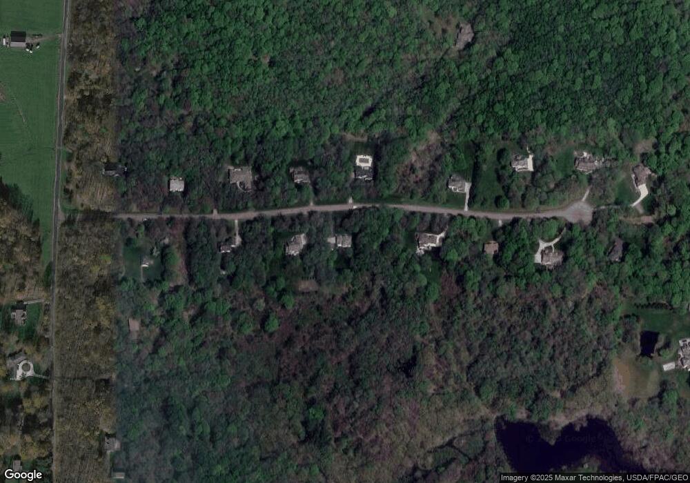
Map
Nearby Homes
- 10881 Stafford Rd
- 16970 Auburn Rd
- 11060 Taylor May Rd
- lot 2 Stafford Rd
- lot 1 Stafford Rd
- 11611 E Washington St
- SL 6 Staffordshire Ct
- 16770 Staffordshire Ct
- 18420 May Ct
- 9769 Washington St
- 9765 Washington St
- 0 E Washington East of 11700 Unit 5032508
- 0 E Washington East of 11700 Unit 5032518
- 18040 Ravenna Rd
- 16677 Messenger Rd
- 0 Bartholomew Rd Unit 21957397
- 0 Starbush Ct
- 11830 Starbush Ct
- 16830 Lucky Bell Ln
- 18945 Thorpe Rd
- 10705 Robert Ln
- 10755 Robert Ln
- 10730 Robert Ln
- 10700 Robert Ln
- 10685 Robert Ln
- 10760 Robert Ln
- 10680 Robert Ln
- 10650 Robert Ln
- 10790 Robert Ln
- 17545 Wing Rd
- 10805 Robert Ln
- 17575 Wing Rd
- 17467 Wing Rd
- 10810 Robert Ln
- 10620 Robert Ln
- 17605 Wing Rd
- 10835 Robert Ln
- 10840 Robert Ln
- 17625 Wing Rd
- 17570 Wing Rd