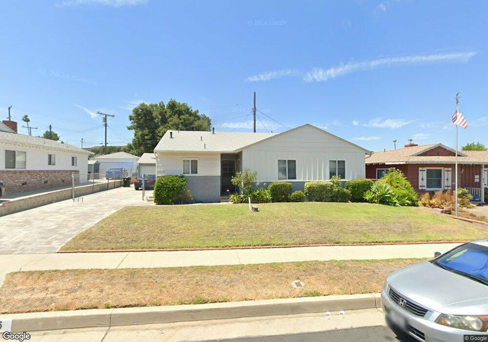
10735 Wescott Ave Sunland, CA 91040
Sunland NeighborhoodEstimated Value: $863,000 - $905,000
3
Beds
2
Baths
1,348
Sq Ft
$655/Sq Ft
Est. Value
About This Home
This home is located at 10735 Wescott Ave, Sunland, CA 91040 and is currently estimated at $882,653, approximately $654 per square foot. 10735 Wescott Ave is a home located in Los Angeles County with nearby schools including Sunland Elementary School, Mt. Gleason Middle School, and Verdugo Hills Senior High School.
Ownership History
Date
Name
Owned For
Owner Type
Purchase Details
Closed on
Nov 18, 2004
Sold by
Petta Florence C and Petta Family Trust
Bought by
Trosper Michael T
Current Estimated Value
Home Financials for this Owner
Home Financials are based on the most recent Mortgage that was taken out on this home.
Original Mortgage
$344,000
Outstanding Balance
$177,016
Interest Rate
6.25%
Mortgage Type
Purchase Money Mortgage
Estimated Equity
$705,637
Create a Home Valuation Report for This Property
The Home Valuation Report is an in-depth analysis detailing your home's value as well as a comparison with similar homes in the area
Home Values in the Area
Average Home Value in this Area
Purchase History
| Date | Buyer | Sale Price | Title Company |
|---|---|---|---|
| Trosper Michael T | $430,000 | -- |
Source: Public Records
Mortgage History
| Date | Status | Borrower | Loan Amount |
|---|---|---|---|
| Open | Trosper Michael T | $344,000 | |
| Closed | Trosper Michael T | $86,000 |
Source: Public Records
Tax History Compared to Growth
Tax History
| Year | Tax Paid | Tax Assessment Tax Assessment Total Assessment is a certain percentage of the fair market value that is determined by local assessors to be the total taxable value of land and additions on the property. | Land | Improvement |
|---|---|---|---|---|
| 2025 | $15,075 | $599,365 | $466,813 | $132,552 |
| 2024 | $15,075 | $587,613 | $457,660 | $129,953 |
| 2023 | $14,935 | $576,092 | $448,687 | $127,405 |
| 2022 | $14,605 | $564,797 | $439,890 | $124,907 |
| 2021 | $14,519 | $553,723 | $431,265 | $122,458 |
| 2019 | $6,546 | $537,301 | $418,474 | $118,827 |
| 2018 | $6,440 | $526,767 | $410,269 | $116,498 |
| 2016 | $5,861 | $482,000 | $374,800 | $107,200 |
| 2015 | $5,206 | $427,000 | $332,000 | $95,000 |
| 2014 | $5,329 | $427,000 | $332,000 | $95,000 |
Source: Public Records
Map
Nearby Homes
- 10704 Oro Vista Ave
- 10711 Sherman Grove Ave Unit 26
- 10711 Sherman Grove Ave Unit 13
- 10711 Sherman Grove Ave Unit 36
- 10799 Sherman Grove Ave
- 10799 Sherman Grove Ave Unit 18
- 10799 Sherman Grove Ave Unit 61
- 8545 Forsythe St
- 8421 Grenoble St
- 8720 Mulberry Dr
- 8230 Hillrose St
- 11009 Quill Ave
- 8352 Wyngate St
- 11034 Scoville Ave
- 8939 Oswego St
- 10435 Newhome Ave Unit 7
- 10504 Sunland Blvd Unit 5
- 10335 Oro Vista Ave
- 10347 Newhome Ave
- 10429 Mcvine Ave
- 10727 Wescott Ave
- 10747 Wescott Ave
- 10720 Floralita Ave
- 10714 Floralita Ave
- 10719 Wescott Ave
- 10761 Wescott Ave
- 10736 Wescott Ave
- 10708 Floralita Ave
- 10728 Wescott Ave
- 10742 Wescott Ave
- 8457 Hillrose St
- 10722 Wescott Ave
- 8451 Hillrose St
- 10700 Floralita Ave
- 10748 Wescott Ave
- 8445 Hillrose St
- 10716 Wescott Ave
- 10760 Wescott Ave
- 10721 Floralita Ave
- 10727 Floralita Ave