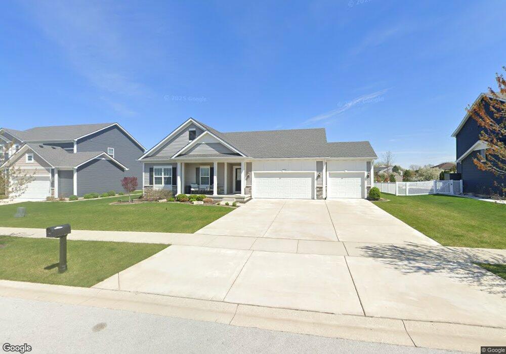
10737 Glendale Ave Saint John, IN 46373
Saint John NeighborhoodEstimated Value: $386,000 - $535,000
3
Beds
2
Baths
1,706
Sq Ft
$265/Sq Ft
Est. Value
About This Home
This home is located at 10737 Glendale Ave, Saint John, IN 46373 and is currently estimated at $451,315, approximately $264 per square foot. 10737 Glendale Ave is a home with nearby schools including Lincoln Elementary School, Hanover Central Middle School, and Hanover Central High School.
Ownership History
Date
Name
Owned For
Owner Type
Purchase Details
Closed on
Oct 16, 2024
Sold by
Brink Dale S and Brink Janet B
Bought by
Dale S Brink And Janet B Brink Joint Trust and Brink
Current Estimated Value
Purchase Details
Closed on
Jun 25, 2018
Sold by
Silver Leaf Of St John Development L L C
Bought by
Brink Dale S and Brink Janet B
Home Financials for this Owner
Home Financials are based on the most recent Mortgage that was taken out on this home.
Original Mortgage
$254,790
Interest Rate
4.6%
Mortgage Type
New Conventional
Create a Home Valuation Report for This Property
The Home Valuation Report is an in-depth analysis detailing your home's value as well as a comparison with similar homes in the area
Home Values in the Area
Average Home Value in this Area
Purchase History
| Date | Buyer | Sale Price | Title Company |
|---|---|---|---|
| Dale S Brink And Janet B Brink Joint Trust | -- | None Listed On Document | |
| Brink Dale S | -- | Fidelity Natl Title Co |
Source: Public Records
Mortgage History
| Date | Status | Borrower | Loan Amount |
|---|---|---|---|
| Previous Owner | Brink Dale S | $254,790 |
Source: Public Records
Tax History Compared to Growth
Tax History
| Year | Tax Paid | Tax Assessment Tax Assessment Total Assessment is a certain percentage of the fair market value that is determined by local assessors to be the total taxable value of land and additions on the property. | Land | Improvement |
|---|---|---|---|---|
| 2024 | $9,053 | $413,500 | $69,800 | $343,700 |
| 2023 | $4,099 | $381,600 | $66,000 | $315,600 |
| 2022 | $4,288 | $360,800 | $59,800 | $301,000 |
| 2021 | $3,974 | $332,800 | $47,400 | $285,400 |
| 2020 | $3,537 | $289,500 | $47,400 | $242,100 |
| 2019 | $3,086 | $267,500 | $47,400 | $220,100 |
| 2018 | $5 | $300 | $300 | $0 |
| 2017 | $8 | $300 | $300 | $0 |
| 2016 | $8 | $300 | $300 | $0 |
| 2014 | $7 | $300 | $300 | $0 |
| 2013 | $7 | $300 | $300 | $0 |
Source: Public Records
Map
Nearby Homes
- 13351 W 107th Ave
- 10639 Burgess Way
- 12957 109th Place
- 13085 109th Ave
- 13614 W 105th Place
- 10325 Birchbrook Dr
- 12914 W 109th Ave
- 11031 Delta Dr
- 10837 Maloian Dr
- 14528 N Quartz Ln
- 13993 Blue Sky Dr
- 13973 Blue Sky Ct
- 14596 N Quartz Ln
- 14703 N Quartz Ln
- 14703 Coral St
- 10045 Switch Grass Ln
- 10746 Knickerbocker Ct
- 10788 Knickerbocker Ct
- 13085 109th Place
- 11045 Delta Dr
- 10723 Glendale Ave
- 10747 Glendale Ave
- 10740 Glendale Ave
- 10728 Glendale Ave
- 13518 Fieldstone Way
- 10791 Glendale Ave
- 10754 Glendale Ave
- 10716 Glendale Ave
- 13502 Fieldstone Way
- 13471 107th Ave
- 13484 Fieldstone Way
- 10766 Glendale Ave
- 10691 Glendale Ave
- 13447 107th Ave
- 10696 Glendale Ave
- 10778 Glendale Ave
- 10688 Fairview Place
- 10684 Glendale Ave
- 10681 Glendale Ave
- 13421 107th Ave