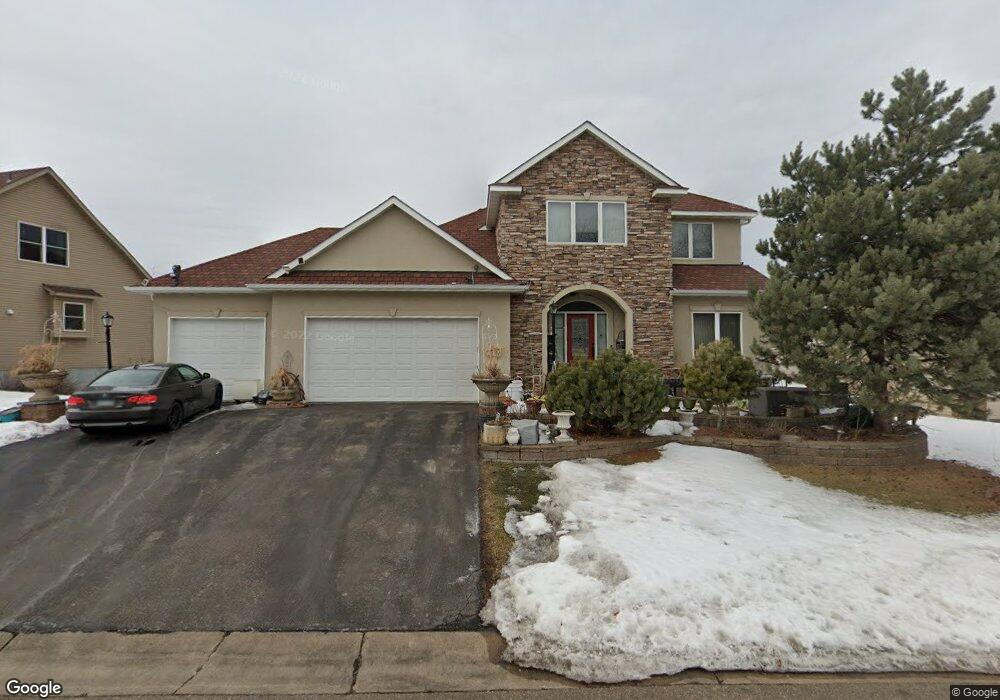
10760 10760 McCool-drive-e Burnsville, MN 55337
Estimated Value: $713,000 - $820,000
4
Beds
3
Baths
3,730
Sq Ft
$204/Sq Ft
Est. Value
About This Home
This home is located at 10760 10760 McCool-drive-e, Burnsville, MN 55337 and is currently estimated at $759,785, approximately $203 per square foot. 10760 10760 McCool-drive-e is a home located in Dakota County with nearby schools including Burnsville High School, Gateway STEM Academy, and Sunrise International Montessori School.
Ownership History
Date
Name
Owned For
Owner Type
Purchase Details
Closed on
Jan 25, 2019
Sold by
Souvannavong Oula and Souvannakane Kounthone
Bought by
Souvannavong Oula and Souvannakane Kounthone
Current Estimated Value
Purchase Details
Closed on
Dec 17, 2008
Sold by
Not Provided
Bought by
Not Provided
Home Financials for this Owner
Home Financials are based on the most recent Mortgage that was taken out on this home.
Original Mortgage
$328,000
Outstanding Balance
$209,288
Interest Rate
5.44%
Mortgage Type
New Conventional
Estimated Equity
$550,497
Purchase Details
Closed on
Dec 1, 2006
Sold by
Mcdavitt Homes Inc
Bought by
Sinousy Tamer
Purchase Details
Closed on
Dec 12, 2003
Sold by
Manley Land Development Inc
Bought by
Mcdevitt Homes Inc
Create a Home Valuation Report for This Property
The Home Valuation Report is an in-depth analysis detailing your home's value as well as a comparison with similar homes in the area
Home Values in the Area
Average Home Value in this Area
Purchase History
| Date | Buyer | Sale Price | Title Company |
|---|---|---|---|
| Souvannavong Oula | -- | None Available | |
| Not Provided | $410,000 | -- | |
| Sinousy Tamer | $180,000 | -- | |
| Mcdevitt Homes Inc | $799,500 | -- |
Source: Public Records
Mortgage History
| Date | Status | Borrower | Loan Amount |
|---|---|---|---|
| Open | Not Provided | $328,000 |
Source: Public Records
Tax History Compared to Growth
Tax History
| Year | Tax Paid | Tax Assessment Tax Assessment Total Assessment is a certain percentage of the fair market value that is determined by local assessors to be the total taxable value of land and additions on the property. | Land | Improvement |
|---|---|---|---|---|
| 2024 | $7,696 | $695,400 | $157,300 | $538,100 |
| 2023 | $7,696 | $689,600 | $157,500 | $532,100 |
| 2022 | $6,952 | $678,000 | $157,100 | $520,900 |
| 2021 | $7,660 | $600,900 | $136,600 | $464,300 |
| 2020 | $6,788 | $552,400 | $130,100 | $422,300 |
| 2019 | $6,761 | $560,200 | $123,900 | $436,300 |
| 2018 | $6,579 | $534,000 | $118,000 | $416,000 |
| 2017 | $6,015 | $508,700 | $112,300 | $396,400 |
| 2016 | $6,487 | $457,300 | $107,000 | $350,300 |
| 2015 | $5,940 | $473,300 | $103,900 | $369,400 |
| 2014 | -- | $453,100 | $102,000 | $351,100 |
| 2013 | -- | $417,300 | $93,400 | $323,900 |
Source: Public Records
Map
Nearby Homes
- 3113 Chandler Ct
- 3108 Foxpoint Cir
- 4165 Old Sibley Hwy
- 2177 Cool Stream Cir
- 10934 Southview Dr
- 11017 27th Ave S
- 11036 27th Ave S
- 2079 Garnet Ln
- 11459 Galtier Dr
- 2074 Carnelian Ln
- 4413 Slater Rd
- 2119 Cedar Grove Trail
- 4247 Limestone Dr
- 2127 Silver Bell Rd
- 4370 Nicols Rd
- 4425 Cinnamon Ridge Cir
- 4427 Cinnamon Ridge Cir
- 2081 Copper Ln
- 4463 Cinnamon Ridge Cir
- 2001 Woods Ln
- 10760 Mccool Dr E
- 10750 Mccool Dr E
- 10784 Mccool Dr E
- 10757 Mccool Dr W
- 10771 Mccool Dr W
- 10755 Mccool Dr E
- 10755 10755 McCool-drive-e
- 10730 Mccool Dr E
- 3350 Willie Dr
- 10779 Mccool Dr E
- 10735 Mccool Dr E
- 10721 Mccool Dr W
- 3330 Willie Dr
- 10712 Mccool Dr E
- 10791 Mccool Dr E
- 10717 Mccool Dr E
- 10748 Mccool Dr W
- 10764 Mccool Dr W
- 10707 Mccool Dr W
- 3361 Willie Dr