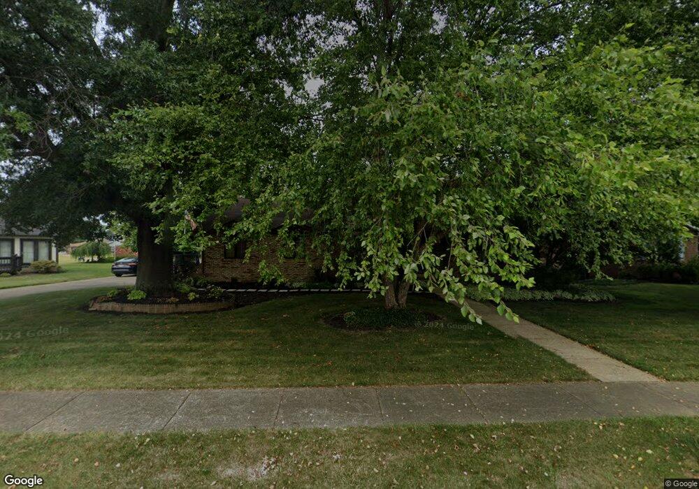
1077 Hillcliff St Louisville, OH 44641
Estimated Value: $291,484 - $330,000
2
Beds
3
Baths
2,292
Sq Ft
$134/Sq Ft
Est. Value
About This Home
This home is located at 1077 Hillcliff St, Louisville, OH 44641 and is currently estimated at $306,371, approximately $133 per square foot. 1077 Hillcliff St is a home located in Stark County with nearby schools including Louisville High School and St. Thomas Aquinas High School & Middle School.
Ownership History
Date
Name
Owned For
Owner Type
Purchase Details
Closed on
Nov 4, 2016
Sold by
Turner Joseph Gary and Turner Joseph G
Bought by
Turner Joseph G
Current Estimated Value
Home Financials for this Owner
Home Financials are based on the most recent Mortgage that was taken out on this home.
Original Mortgage
$243,000
Interest Rate
3.42%
Mortgage Type
Reverse Mortgage Home Equity Conversion Mortgage
Create a Home Valuation Report for This Property
The Home Valuation Report is an in-depth analysis detailing your home's value as well as a comparison with similar homes in the area
Home Values in the Area
Average Home Value in this Area
Purchase History
| Date | Buyer | Sale Price | Title Company |
|---|---|---|---|
| Turner Joseph G | -- | Fnc Title Services Llc |
Source: Public Records
Mortgage History
| Date | Status | Borrower | Loan Amount |
|---|---|---|---|
| Closed | Turner Joseph G | $243,000 |
Source: Public Records
Tax History Compared to Growth
Tax History
| Year | Tax Paid | Tax Assessment Tax Assessment Total Assessment is a certain percentage of the fair market value that is determined by local assessors to be the total taxable value of land and additions on the property. | Land | Improvement |
|---|---|---|---|---|
| 2025 | -- | $91,530 | $19,320 | $72,210 |
| 2024 | -- | $91,530 | $19,320 | $72,210 |
| 2023 | $2,587 | $69,370 | $18,200 | $51,170 |
| 2022 | $2,611 | $69,370 | $18,200 | $51,170 |
| 2021 | $2,618 | $69,370 | $18,200 | $51,170 |
| 2020 | $2,137 | $62,480 | $16,420 | $46,060 |
| 2019 | $2,257 | $65,280 | $16,420 | $48,860 |
| 2018 | $2,249 | $65,280 | $16,420 | $48,860 |
| 2017 | $2,035 | $58,100 | $14,420 | $43,680 |
| 2016 | $2,076 | $58,100 | $14,420 | $43,680 |
| 2015 | $2,082 | $58,100 | $14,420 | $43,680 |
| 2014 | $1,883 | $50,230 | $12,460 | $37,770 |
| 2013 | $945 | $50,230 | $12,460 | $37,770 |
Source: Public Records
Map
Nearby Homes
- 2110 Edmar St
- 1812 E Broad St
- 1715 High St
- 641 S Nickelplate St
- 308 Superior St
- 520 S Silver St
- 2015 E Main St
- 3390 Meese Rd NE
- 728 E Broad St
- 908 Sand Lot Cir
- 0 Michigan Blvd
- 510 S Bauman Ct
- 204 E Broad St
- 107 E Broad St
- 325 Lincoln Ave
- 8225 Georgetown St
- 1170 Winding Ridge Ave
- 1702 View Pointe Ave
- 1639 Horizon Dr
- 910 Crosswyck Cir
- 1021 Hillcliff St
- 1857 Opal St
- 1050 Cypress Ave
- 1907 Opal St
- 1080 Cypress Ave
- 1900 Tanglewood Cir
- 1011 Hillcliff St
- 1837 Opal St
- 1856 Opal St
- 1030 Cypress St
- 1050 Cypress St
- 1035 Cypress St
- 1917 Opal St
- 1905 Tanglewood Cir
- 915 Hillcliff St
- 1916 Tanglewood Cir
- 1085 Cypress Ave
- 1827 Opal St
- 1906 Opal St
- 1913 Tanglewood Cir